
Edwards Apartments
953 Collins Ave,
Miami Beach, FL 33139
Studio - 1 Bed $1,800 - $1,900
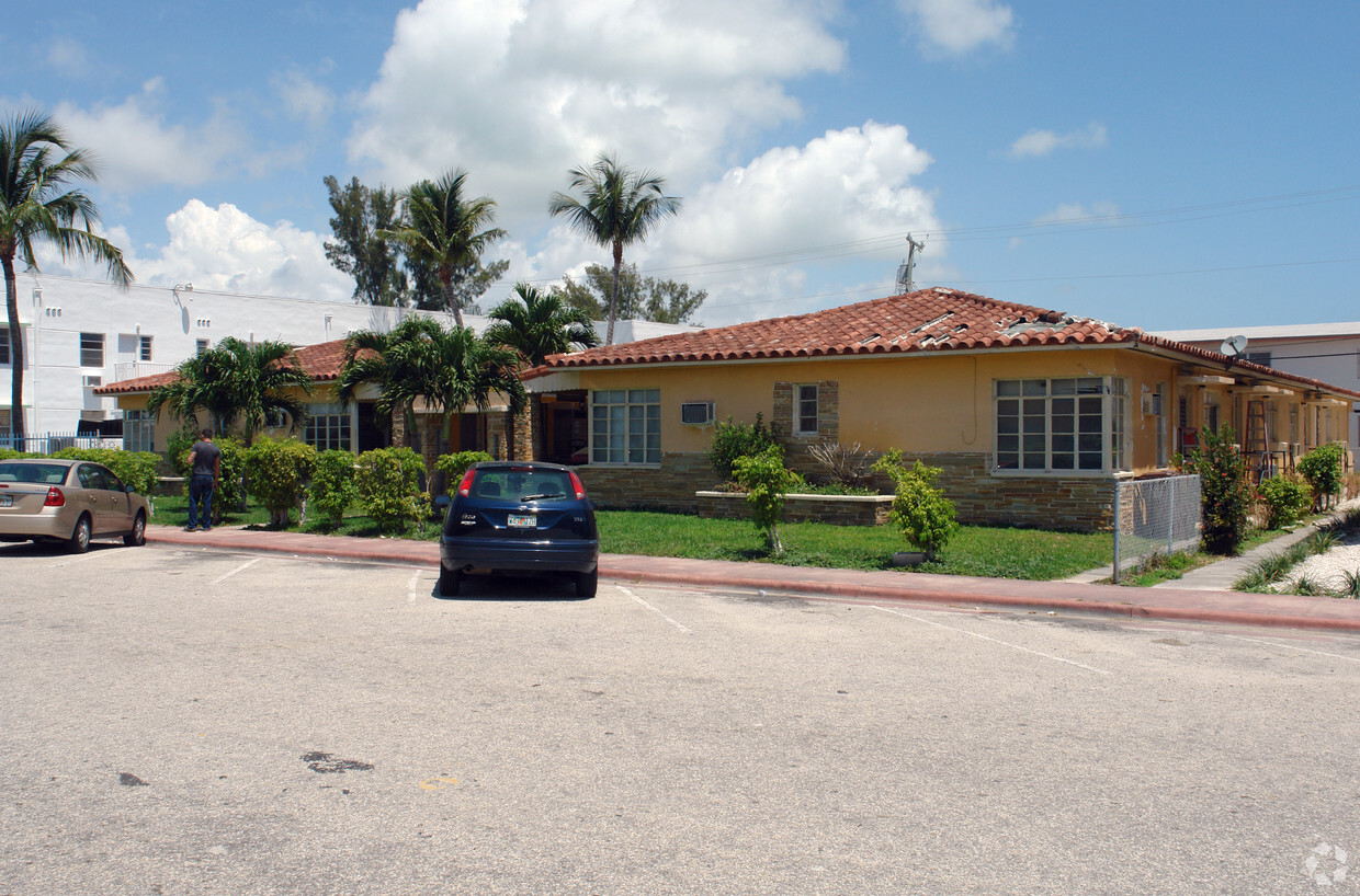
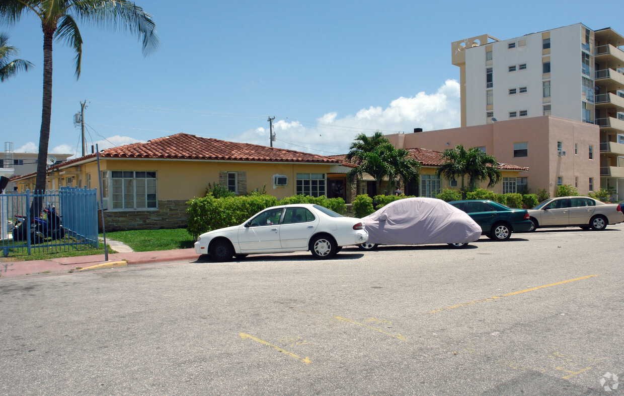

At 1955-1965 Bay Dr in Miami Beach, FL, experience great living. The location in Miami Beach's 33141 area is an ideal place to live. The knowledgeable leasing staff is waiting to show you all that this community has to offer. Come by to view the available floorplans. Contact us or drop by the leasing office to find out the availability today and make your move to 1955-1965 Bay Dr.
1955-1965 Bay Dr is an apartment community located in Miami/Dade County and the 33141 ZIP Code. This area is served by the Miami-Dade County Public Schools attendance zone.
Situated on the beautiful eastern shore of Biscayne Bay, Normandy Isles has become one of the most popular residential enclaves in Miami Beach. The northern side of the island mixes modest homes with classic garden apartments, many of which are available for rent overlooking the placid Normandy Waterway. On the southern side, multi-family buildings erected during the 1940s display the artistic skills of famous architects like Norman Giller and Gilbert Fain.
Two major roads bisect the hospitable neighborhood, 71st Street and Normandy Drive, where residents can find a thriving commercial area filled with banks, gas stations, stores, and popular restaurants. Close proximity to Miami Beach’s North Beach is a major part of the neighborhood’s allure. Normandy Isles also sits just nine miles northeast of Downtown Miami, affording many residents short commute and travel times.
Learn more about living in Normandy Isles| Colleges & Universities | Distance | ||
|---|---|---|---|
| Colleges & Universities | Distance | ||
| Drive: | 14 min | 5.8 mi | |
| Drive: | 14 min | 5.9 mi | |
| Drive: | 18 min | 6.9 mi | |
| Drive: | 22 min | 8.9 mi |


Transportation options available in Miami Beach include Adrienne Arsht Center, located 7.0 miles from 1955-1965 Bay Dr. 1955-1965 Bay Dr is near Miami International, located 15.2 miles or 32 minutes away, and Fort Lauderdale/Hollywood International, located 22.1 miles or 35 minutes away.
| Transit / Subway | Distance | ||
|---|---|---|---|
| Transit / Subway | Distance | ||
|
|
Drive: | 18 min | 7.0 mi |
|
|
Drive: | 18 min | 7.4 mi |
|
|
Drive: | 18 min | 9.6 mi |
|
|
Drive: | 18 min | 9.7 mi |
|
|
Drive: | 19 min | 9.8 mi |
| Commuter Rail | Distance | ||
|---|---|---|---|
| Commuter Rail | Distance | ||
|
|
Drive: | 18 min | 8.0 mi |
|
|
Drive: | 18 min | 9.5 mi |
|
|
Drive: | 18 min | 9.6 mi |
|
|
Drive: | 19 min | 9.7 mi |
| Drive: | 19 min | 9.7 mi |
| Airports | Distance | ||
|---|---|---|---|
| Airports | Distance | ||
|
Miami International
|
Drive: | 32 min | 15.2 mi |
|
Fort Lauderdale/Hollywood International
|
Drive: | 35 min | 22.1 mi |
Time and distance from 1955-1965 Bay Dr.
| Shopping Centers | Distance | ||
|---|---|---|---|
| Shopping Centers | Distance | ||
| Walk: | 16 min | 0.9 mi | |
| Drive: | 4 min | 1.3 mi | |
| Drive: | 4 min | 1.5 mi |
| Parks and Recreation | Distance | ||
|---|---|---|---|
| Parks and Recreation | Distance | ||
|
Arch Creek Park & Nature Center
|
Drive: | 15 min | 6.2 mi |
|
Enchanted Forest Elaine Gordon Park
|
Drive: | 15 min | 6.4 mi |
|
Oleta River State Park
|
Drive: | 22 min | 8.4 mi |
|
Miami Children's Museum
|
Drive: | 21 min | 11.0 mi |
|
Jungle Island
|
Drive: | 21 min | 11.4 mi |
| Hospitals | Distance | ||
|---|---|---|---|
| Hospitals | Distance | ||
| Drive: | 13 min | 4.7 mi | |
| Drive: | 12 min | 4.9 mi | |
| Drive: | 12 min | 5.7 mi |
What Are Walk Score®, Transit Score®, and Bike Score® Ratings?
Walk Score® measures the walkability of any address. Transit Score® measures access to public transit. Bike Score® measures the bikeability of any address.
What is a Sound Score Rating?
A Sound Score Rating aggregates noise caused by vehicle traffic, airplane traffic and local sources

1955-1965 Bay Dr
Miami Beach, FL 33141


")


