
$1,575 / Month
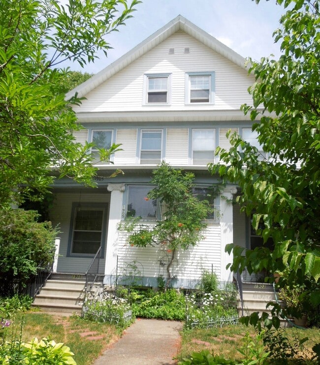
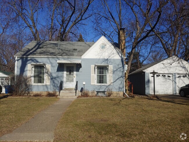
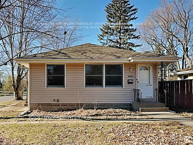
1905 Selby Ave
Saint Paul, MN 55104
2 Weeks Ago
Favorites
1905 Selby Ave

Favorites
Check Back Soon for Upcoming Availability
| Beds | Baths | Average SF |
|---|---|---|
| 3 Bedrooms 3 Bedrooms 3 Br | 1.5 Baths 1.5 Baths 1.5 Ba | 1,000 SF |
Fees and Policies
The fees below are based on community-supplied data and may exclude additional fees and utilities.
- Cats Allowed
-
Fees not specified
-
Weight limit--
-
Pet Limit--
- Parking
-
Street--
Details
Utilities Included
-
Trash Removal
About This Property
This is a residential neighborhood, with a mix of rental units, single family homes and some duplexes, an apartment bldg here and there, with lots of old-timers and young families, lots of churches, close to bus lines, colleges, and shopping (Marshall Ave, Grand Ave, Snelling Ave, Midway area, Lake Street (just across the Marshall/Lake Street bridge), close to the River for walks, jogs and bike rides, quick access to I94, and the Highland area is ~3 miles to the south.
1905 Selby Ave is a house located in Ramsey County and the 55104 ZIP Code.
House Features
Washer/Dryer
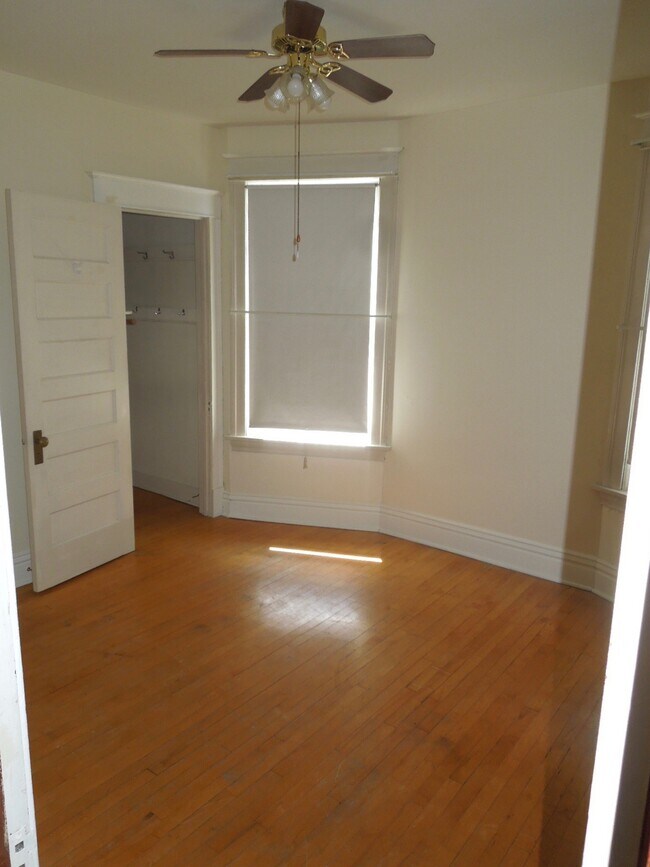
Hardwood Floors
Walk-In Closets
Refrigerator
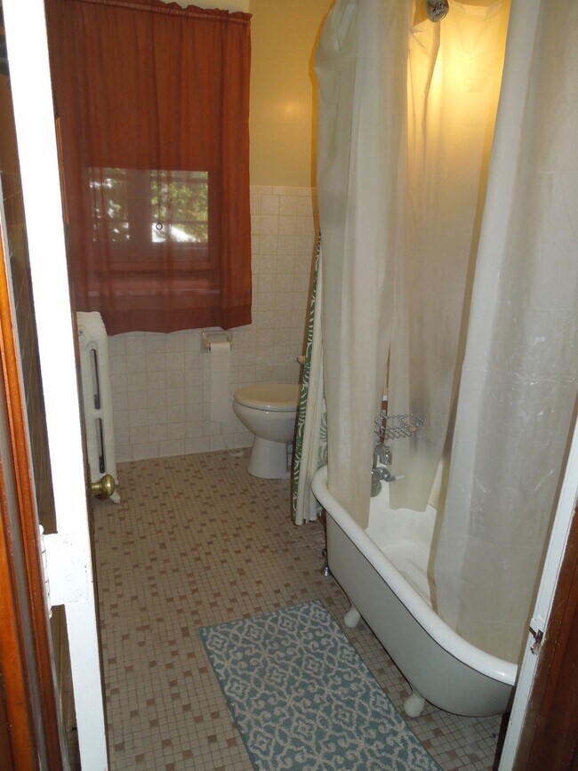
Tub/Shower
Ice Maker
Ceiling Fans
Smoke Free
Highlights
- Washer/Dryer
- Heating
- Ceiling Fans
- Smoke Free
- Tub/Shower
- Handrails
Kitchen Features & Appliances
- Ice Maker
- Pantry
- Eat-in Kitchen
- Kitchen
- Oven
- Range
- Refrigerator
Model Details
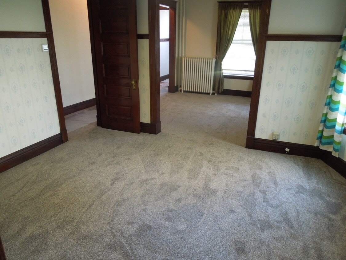
- Hardwood Floors
- Carpet
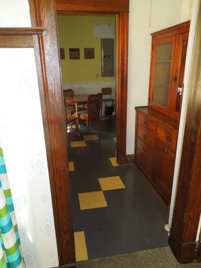
- Dining Room
- Basement
- Attic
- Walk-In Closets
- Double Pane Windows
Location
Get Directions
Along the shore of the Mississippi River, Merriam Park West offers riverfront parks, a large golf course, and quaint local restaurants just minutes from downtown Saint Paul, Minnesota. Stop on in at Izzy’s Ice Cream Café, or grab a treat at Black Coffee and Waffle Bar. Local businesses thrive alongside riverfront community spaces like Shadow Falls Park, a picturesque nature preserve.
The University of Saint Thomas resides on the south end of town, and the neighborhood offers a blend of private and public schools, churches, and every day conveniences. Situated just five miles southeast of Minneapolis and seven miles northeast of the Minneapolis-Saint Paul International Airport, this neighborhood is in a premier location for commuting, shopping, dining, and entertainment.
Learn more about living in Merriam Park WestBelow are rent ranges for similar nearby apartments
Amenities
- Washer/Dryer
- Heating
- Ceiling Fans
- Smoke Free
- Tub/Shower
- Handrails
- Ice Maker
- Pantry
- Eat-in Kitchen
- Kitchen
- Oven
- Range
- Refrigerator
- Hardwood Floors
- Carpet
- Dining Room
- Basement
- Attic
- Walk-In Closets
- Double Pane Windows
- Patio
- Porch
- Deck
- Yard
- Lawn
Expenses
Utilities Included
Trash Removal
Included
Education
| Colleges & Universities | Distance | ||
|---|---|---|---|
| Colleges & Universities | Distance | ||
| Walk: | 15 min | 0.8 mi | |
| Drive: | 3 min | 1.3 mi | |
| Drive: | 3 min | 1.4 mi | |
| Drive: | 5 min | 2.0 mi |
1905 Selby Ave is within 15 minutes or 0.8 mile from Univ. of St Thomas, St. Paul. It is also near Macalester College and Concordia Univ.-Saint Paul.
Transportation options available in Saint Paul include Fairview Ave Station, located 0.9 mile from 1905 Selby Ave. 1905 Selby Ave is near Minneapolis-St Paul International/Wold-Chamberlain, located 7.0 miles or 15 minutes away.
| Transit / Subway | Distance | ||
|---|---|---|---|
| Transit / Subway | Distance | ||
| Walk: | 18 min | 0.9 mi | |
| Drive: | 3 min | 1.4 mi | |
| Drive: | 4 min | 1.8 mi | |
| Drive: | 5 min | 1.9 mi | |
| Drive: | 4 min | 2.3 mi |
| Commuter Rail | Distance | ||
|---|---|---|---|
| Commuter Rail | Distance | ||
|
|
Drive: | 10 min | 5.4 mi |
|
|
Drive: | 14 min | 6.5 mi |
|
|
Drive: | 22 min | 15.1 mi |
|
|
Drive: | 32 min | 23.9 mi |
|
|
Drive: | 33 min | 25.5 mi |
| Airports | Distance | ||
|---|---|---|---|
| Airports | Distance | ||
|
Minneapolis-St Paul International/Wold-Chamberlain
|
Drive: | 15 min | 7.0 mi |
Time and distance from 1905 Selby Ave.
| Shopping Centers | Distance | ||
|---|---|---|---|
| Shopping Centers | Distance | ||
| Drive: | 3 min | 1.2 mi | |
| Drive: | 4 min | 1.5 mi | |
| Drive: | 4 min | 1.7 mi |
1905 Selby Ave has 3 shopping centers within 1.7 miles, which is about a 4-minute drive. The miles and minutes will be for the farthest away property.
| Parks and Recreation | Distance | ||
|---|---|---|---|
| Parks and Recreation | Distance | ||
|
Macalester College Observatory
|
Drive: | 3 min | 1.3 mi |
|
Newell Park
|
Drive: | 4 min | 1.7 mi |
|
Brackett Park
|
Drive: | 6 min | 2.2 mi |
|
Longfellow Park
|
Drive: | 7 min | 2.6 mi |
|
Hiawatha School Park
|
Drive: | 9 min | 3.3 mi |
1905 Selby Ave has 5 parks within 3.3 miles, including Macalester College Observatory, Newell Park, and Brackett Park.
| Hospitals | Distance | ||
|---|---|---|---|
| Hospitals | Distance | ||
| Drive: | 7 min | 3.9 mi | |
| Drive: | 8 min | 4.1 mi | |
| Drive: | 8 min | 4.4 mi |
1905 Selby Ave has 3 hospitals within 4.4 miles, the nearest is University of Minnesota Medical Center, Fairview which is 3.9 miles away and a 7 minute drive.
| Military Bases | Distance | ||
|---|---|---|---|
| Military Bases | Distance | ||
| Drive: | 14 min | 5.8 mi |
1905 Selby Ave is 5.8 miles and a 14 minute drive from Fort Snelling Military Reservation.
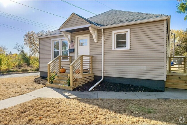
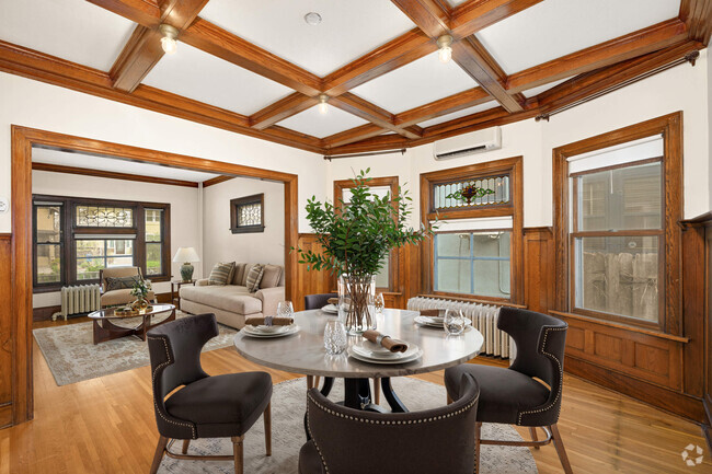
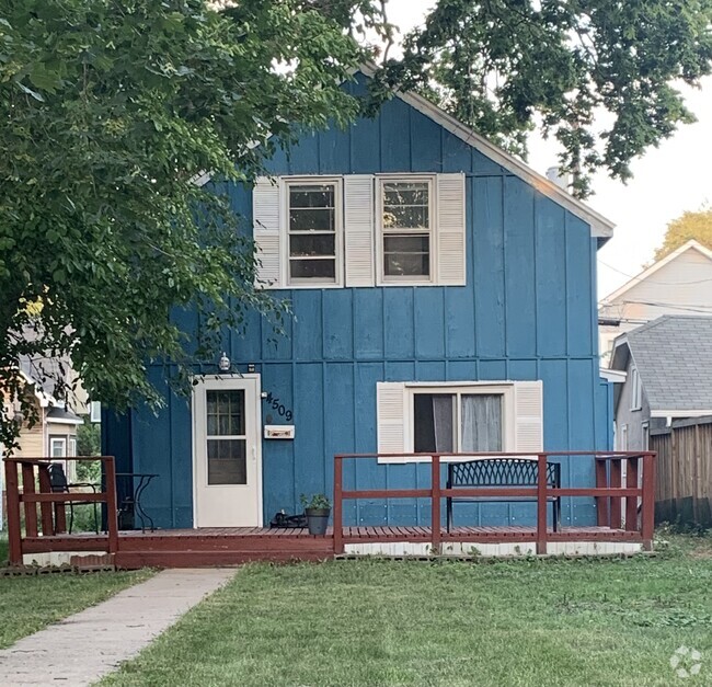
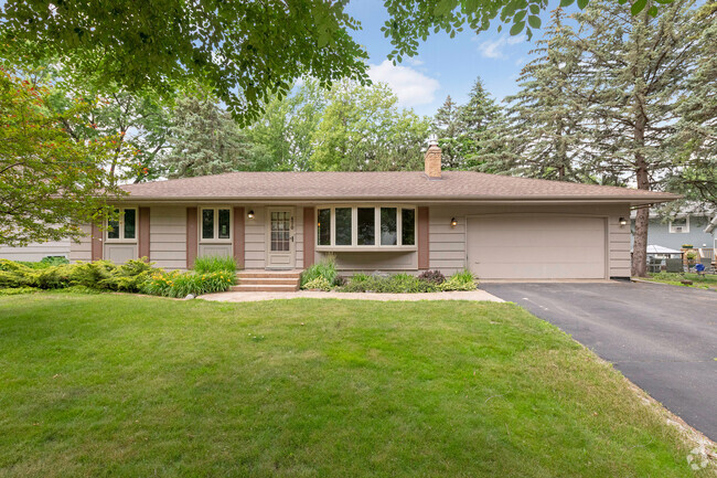
You May Also Like
Similar Rentals Nearby

What Are Walk Score®, Transit Score®, and Bike Score® Ratings?
Walk Score® measures the walkability of any address. Transit Score® measures access to public transit. Bike Score® measures the bikeability of any address.
What is a Sound Score Rating?
A Sound Score Rating aggregates noise caused by vehicle traffic, airplane traffic and local sources
1905 Selby Ave
Saint Paul, MN 55104