

$2,195 Total Monthly Price

1620 Cope Ave E

,

Maplewood, MN 55109

Share Listing
Favorites
1620 Cope Ave E
Share Listing
Favorites

Check Back Soon for Upcoming Availability

Beds Baths Average SF
3 Bedrooms 3 Bedrooms 3 Br 2 Baths 2 Baths 2 Ba 2,585 SF

About This Property

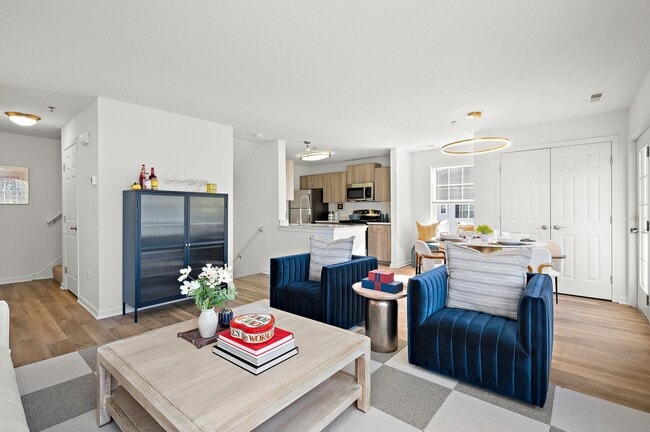
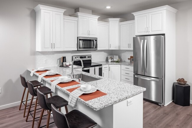
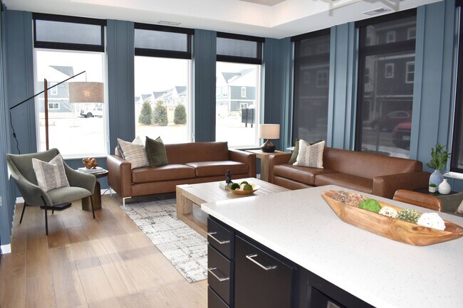
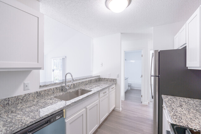
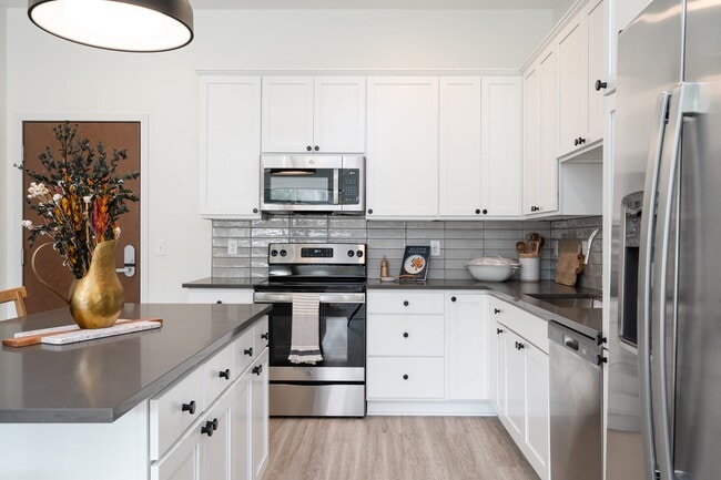
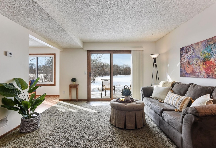
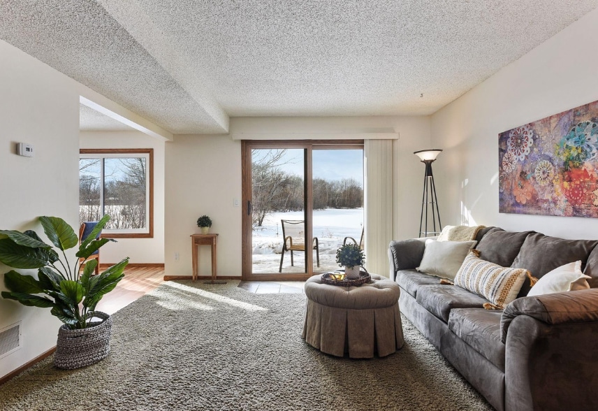
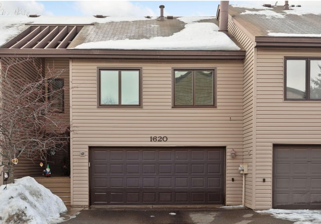
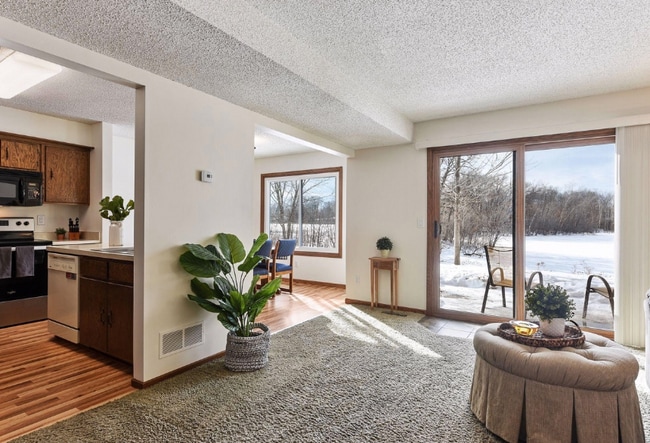
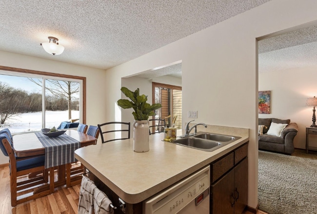
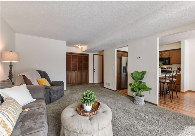
Nestled in a serene setting surrounded by lush trees and a tranquil pond, this charming townhome at 1620 Cope Ave E offers the perfect blend of natural beauty and modern comfort. The wooden exterior of the home seamlessly blends with its surroundings, while inside, natural hardwood floors and cabinets create a warm, inviting atmosphere. The finished basement features a cozy brick fireplace, and the abundant sunlight streaming through the many windows adds to the bright and airy feel. The open kitchen, complete with an island and all essential appliances, flows into a dining area that overlooks the peaceful backyard and pond. This home also offers the convenience of an in-unit washer and dryer, an attached 2-car garage, and spacious bedrooms with ample closet space. Experience the tranquility of nature without sacrificing modern conveniences in this beautiful townhome schedule a viewing today!

1620 Cope Ave E is a townhome located in Ramsey County and the 55109 ZIP Code. This area is served by the North St Paul-Maplewood School Dist attendance zone.

Location
1620 Cope Ave E, Maplewood,
MN 55109
Get Directions
| Edit

Under 30 minutes

Commute Time is calculated at rush hour.
Neighborhood

Thanks to some odd geography, Maplewood has something of a split personality. This first-ring St. Paul suburb can be described as being shaped like a frying pan. The main business and residential area lies primarily to the north and east of St. Paul, while the chief amenities, such as the community center and an indoor mall, lie in the "pan." South Maplewood, or the "pan handle," runs south along Interstate 494 and has fewer business amenities. Residents of this area tend to shop in bordering Woodbury, since it takes a good half hour to get from the southern tip of Maplewood to the main northern business district.

Meanwhile, Oakdale lies between the two sections, just east of Maplewood's pan handle and north of Woodbury. This young suburb is a quiet bedroom community with a scattering of business districts. Cornfields make up its eastern portion, giving the area a distinctly rural vibe, even though it's just 10 minutes outside of downtown St. Paul.

Learn more about living in Maplewood-Oakdale 

Below are rent ranges for similar nearby apartments

Education
Colleges & Universities Distance
Drive: 7 min 4.2 mi
Drive: 11 min 6.2 mi
Drive: 14 min 8.5 mi
Drive: 14 min 8.6 mi
1620 Cope Ave E is within 7 minutes or 4.2 miles from Century College. It is also near Metropolitan State University and Saint Paul College.
Schools
Public Elementary School
Grades PK-5
412 Students
Nearby
Public Elementary School
Grades PK-5
480 Students
Attendance Zone
Public Middle School
Grades 6-8
985 Students
Attendance Zone
Public High School
Grades 9-12
1,803 Students
Attendance Zone
Private Elementary, Middle & High School
Grades PK-12
572 Students
Nearby
Private Elementary & Middle School
Grades K-8
115 Students
Nearby
Transportation

Transportation options available in Maplewood include Robert St Station, located 7.5 miles from 1620 Cope Ave E. 1620 Cope Ave E is near Minneapolis-St Paul International/Wold-Chamberlain, located 17.2 miles or 27 minutes away.

Transit / Subway Distance
Drive: 12 min 7.5 mi
Drive: 12 min 7.6 mi
Drive: 12 min 7.7 mi
Drive: 13 min 7.8 mi
Commuter Rail Distance
Drive: 12 min 7.8 mi
Drive: 24 min 14.4 mi
Drive: 22 min 15.3 mi
Drive: 32 min 23.4 mi
Drive: 33 min 25.1 mi
Airports Distance
Airports Distance
Minneapolis-St Paul International/Wold-Chamberlain
Drive: 27 min 17.2 mi

Walkability Near 1620 Cope Ave E Maplewood, MN 55109

Getting Around
Fairly Walkable
Walkability
50 / 100
Limited Public Transit
Transit
30 / 100
Exceptionally Drivable
Drivability
100 / 100
Very Bikeable
Bikeability
80 / 100

Scores provided by

What do Walkability, Transit, Drivability, and Bikeability mean? Walkability measures the walking distance to day-to-day needs. Transit measures access to public transportation. Drivability measures congestion, parking availability, and access to major roads. Bikeability measures the suitability for cycling. How It Works
Active
Soundscore
71 / 100

Traffic

Busy

Airport

Calm

Businesses

Calm

Scores provided by

HowLoud What is a Sound Score Rating? A Sound Score Rating aggregates noise caused by vehicle traffic, airplane traffic and local sources. How It Works
Points of Interest

Time and distance from 1620 Cope Ave E.

Shopping Centers Distance
Walk: 8 min 0.4 mi
Walk: 9 min 0.5 mi
Walk: 11 min 0.6 mi
1620 Cope Ave E has 3 shopping centers within 0.6 mile, which is about a 11-minute walk. The miles and minutes will be for the farthest away property.
Parks and Recreation Distance
Keller Regional Park
Drive: 6 min 2.4 mi
Phelan Regional Park
Drive: 9 min 3.4 mi
Phalen Park
Drive: 9 min 3.6 mi
Arlington/Arkwright Park
Drive: 9 min 4.0 mi
Maplewood Nature Center
Drive: 11 min 6.4 mi
1620 Cope Ave E has 5 parks within 6.4 miles, including Keller Regional Park, Phelan Regional Park, and Phalen Park.
Hospitals Distance
Hospitals Distance
Drive: 5 min 2.5 mi
Drive: 11 min 7.3 mi
1620 Cope Ave E has 3 hospitals within 7.3 miles, the nearest is M Health Fairview St. John's Hospital which is 2.5 miles away and a 5 minute drive.
Military Bases Distance
Drive: 26 min 15.9 mi
1620 Cope Ave E is 15.9 miles and a 26 minute drive from Fort Snelling Military Reservation.

You May Also Like

Similar Rentals Nearby