$2,395 / Month
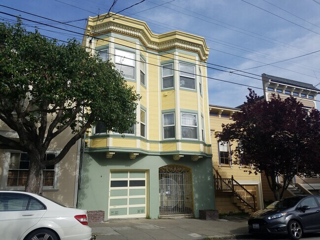
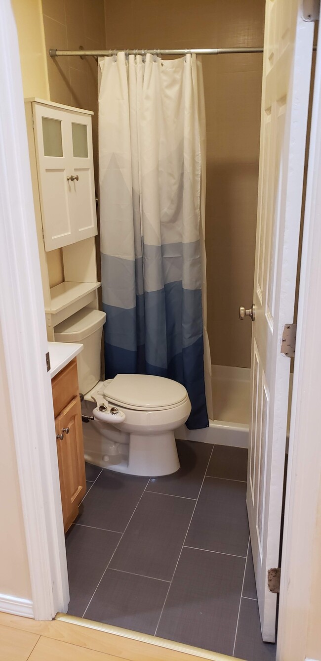
1538 Baker St Unit 1542
San Francisco, CA 94115
2 Weeks Ago
Favorites
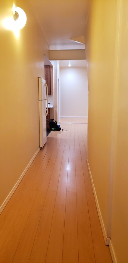
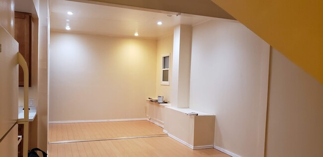
1538 Baker St Unit 1542

Favorites
Check Back Soon for Upcoming Availability
| Beds | Baths | Average SF |
|---|---|---|
| 1 Bedroom 1 Bedroom 1 Br | 1 Bath 1 Bath 1 Ba | 650 SF |
About This Property
With a walk Score of 96 out of 100, "Baker Street Apartments" is an ideal location in the Lower Pacific Heights neighborhood in San Francisco, with access to a nicely manicured and usable backyard, and covered private parking available for a monthly fee. Nearby parks include Baker & Broderick Mini Park, Hamilton Recreation Center and Presidio Heights Playground. Approximately 6 minute drive, 10-min bike ride to downtown. Walking distance to the trendy lower Pacific Heights shops & restaurants & bars, and Trader Joe's, Target, Kaiser Permanente and other amenities. Please email my assistant, Mimi, at mimi.dompor@sq-commercial (dot) com for tours and inquiries. Calls will not be entertained.
1538 Baker St is an apartment community located in San Francisco County and the 94115 ZIP Code.
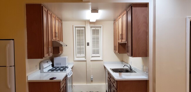
Apartment Features
- Washer/Dryer
- Smoke Free
- Playground
Fees and Policies
The fees below are based on community-supplied data and may exclude additional fees and utilities.
- Parking
-
Other--
Details
Utilities Included
-
Gas
-
Water
Property Information
-
3 units
Location
Get Directions
Lower Pacific Heights is a vibrant San Francisco neighborhood situated between Pacific Heights, Japantown, the Fillmore District, and Laurel Heights. Formerly known as Upper Fillmore, Lower Pacific Heights offers residents a wide variety of apartments, condos, and houses available for rent, many of which boast scenic views due to the neighborhood’s hilly environment.
Lower Pacific Heights is regarded for its walkable layout, with many rentals situated within easy walking distance of the diverse restaurants, shops, coffeehouses, and bars that line Fillmore Street, the community’s main commercial thoroughfare. The neighborhood’s central locale is a major part of its allure, providing quick access to Union Square, the University of San Francisco, the Financial District, several prominent medical centers, tech employers, landmarks, and more.
Learn more about living in Lower Pacific HeightsBelow are rent ranges for similar nearby apartments
Amenities
- Washer/Dryer
- Smoke Free
- Playground
Expenses
Utilities Included
Gas, Water
Included
Education
| Colleges & Universities | Distance | ||
|---|---|---|---|
| Colleges & Universities | Distance | ||
| Walk: | 6 min | 0.3 mi | |
| Walk: | 17 min | 0.9 mi | |
| Drive: | 6 min | 2.1 mi | |
| Drive: | 8 min | 3.0 mi |
1538 Baker St Unit 1542 is within 6 minutes or 0.3 mile from UC San Francisco, Mount Zion. It is also near University of San Francisco and Academy of Art University.
Transportation options available in San Francisco include Van Ness And California, located 1.4 miles from 1538 Baker St Unit 1542. 1538 Baker St Unit 1542 is near San Francisco International, located 15.2 miles or 25 minutes away, and Metro Oakland International, located 21.2 miles or 35 minutes away.
| Transit / Subway | Distance | ||
|---|---|---|---|
| Transit / Subway | Distance | ||
|
|
Drive: | 4 min | 1.4 mi |
|
|
Drive: | 5 min | 1.5 mi |
|
|
Drive: | 4 min | 1.5 mi |
|
|
Drive: | 5 min | 1.8 mi |
|
|
Drive: | 5 min | 1.9 mi |
| Commuter Rail | Distance | ||
|---|---|---|---|
| Commuter Rail | Distance | ||
| Drive: | 9 min | 4.3 mi | |
| Drive: | 11 min | 5.1 mi | |
| Drive: | 14 min | 7.3 mi | |
|
|
Drive: | 21 min | 10.7 mi |
| Drive: | 20 min | 11.8 mi |
| Airports | Distance | ||
|---|---|---|---|
| Airports | Distance | ||
|
San Francisco International
|
Drive: | 25 min | 15.2 mi |
|
Metro Oakland International
|
Drive: | 35 min | 21.2 mi |
Time and distance from 1538 Baker St Unit 1542.
| Shopping Centers | Distance | ||
|---|---|---|---|
| Shopping Centers | Distance | ||
| Walk: | 10 min | 0.5 mi | |
| Walk: | 16 min | 0.9 mi | |
| Drive: | 4 min | 1.4 mi |
1538 Baker St Unit 1542 has 3 shopping centers within 1.4 miles, which is about a 4-minute walk. The miles and minutes will be for the farthest away property.
| Parks and Recreation | Distance | ||
|---|---|---|---|
| Parks and Recreation | Distance | ||
|
Buena Vista Park
|
Drive: | 5 min | 1.4 mi |
|
Conservatory of Flowers
|
Drive: | 4 min | 1.6 mi |
|
Exploratorium
|
Drive: | 4 min | 1.9 mi |
|
Randall Museum
|
Drive: | 6 min | 2.0 mi |
|
California Academy of Sciences
|
Drive: | 7 min | 2.3 mi |
1538 Baker St Unit 1542 has 5 parks within 2.3 miles, including Buena Vista Park, Exploratorium, and Conservatory of Flowers.
| Hospitals | Distance | ||
|---|---|---|---|
| Hospitals | Distance | ||
| Walk: | 3 min | 0.2 mi | |
| Drive: | 3 min | 1.4 mi | |
| Drive: | 4 min | 1.5 mi |
1538 Baker St Unit 1542 has 3 hospitals within 1.5 miles, the nearest is Kaiser Foundation Hospital - San Francisco which is 0.2 mile away and a 3 minute walk.
| Military Bases | Distance | ||
|---|---|---|---|
| Military Bases | Distance | ||
| Drive: | 10 min | 3.6 mi | |
| Drive: | 11 min | 4.0 mi | |
| Drive: | 18 min | 7.3 mi |
1538 Baker St Unit 1542 has 3 military bases within 7.3 miles, the nearest is East Fort Miley which is 3.6 miles away and a 10 minute drive.
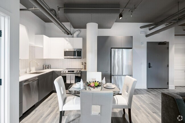
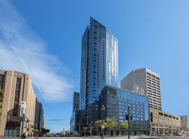
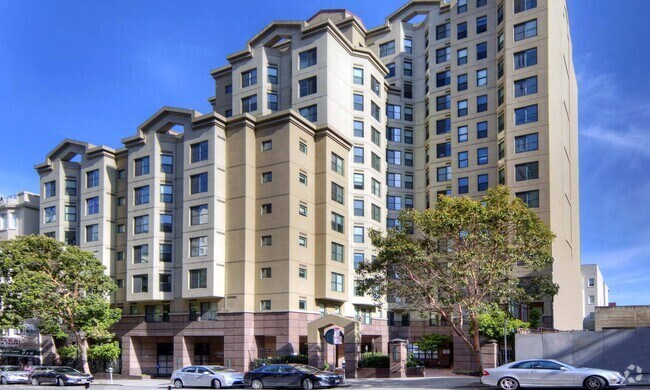
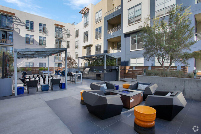
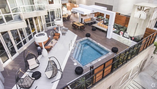
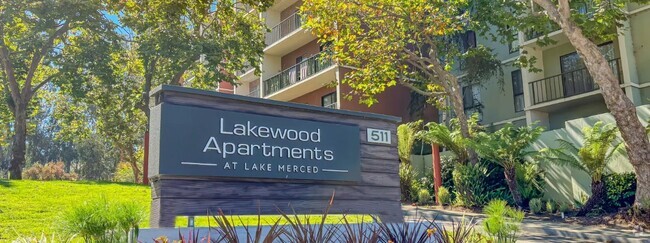
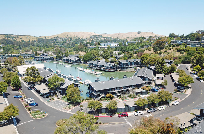
You May Also Like
Similar Rentals Nearby


What Are Walk Score®, Transit Score®, and Bike Score® Ratings?
Walk Score® measures the walkability of any address. Transit Score® measures access to public transit. Bike Score® measures the bikeability of any address.
What is a Sound Score Rating?
A Sound Score Rating aggregates noise caused by vehicle traffic, airplane traffic and local sources

1538 Baker St
San Francisco, CA 94115