15 Weston Ct Unit 9
15 Weston Ct Unit 9
Braintree, MA 02184
2 Weeks Ago
Favorites
15 Weston Ct Unit 9

Favorites
Check Back Soon for Upcoming Availability
| Beds | Baths | Average SF |
|---|---|---|
| 2 Bedrooms 2 Bedrooms 2 Br | 1 Bath 1 Bath 1 Ba | 775 SF |
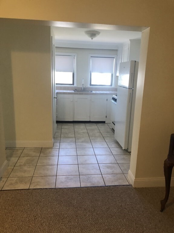
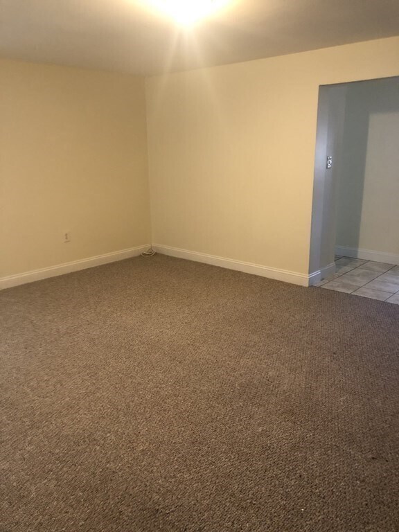
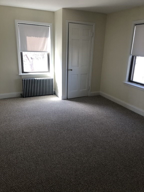
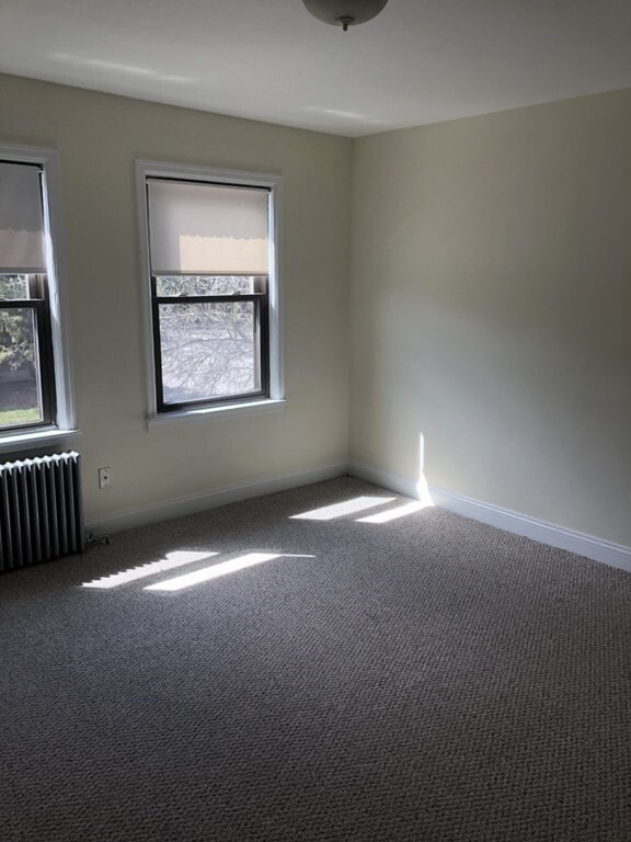
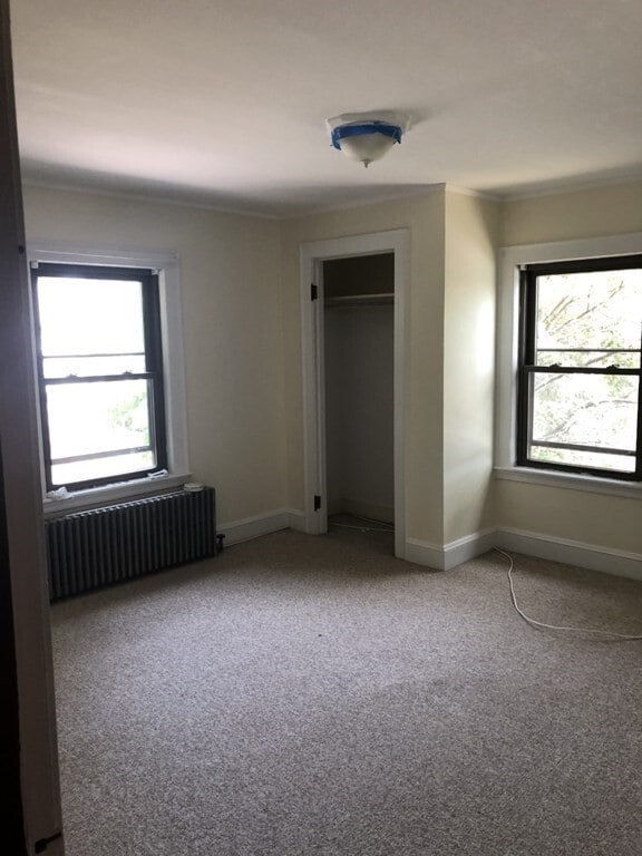
About This Property
Bright and sunny two bedroom with great extra storage in the basement. Walk to Braintree T,restaurants and shops. Easy access to Route 93,Laundry on site. Two parking spots in the lot as well as on street parking. Strong credit along with good references. Broker fee is one month split between both offices.
15 Weston Ct is an apartment community located in Norfolk County and the 02184 ZIP Code.
Location
Get Directions
Situated about 12 miles south of Boston, Braintree offers the perfect balance of historic charm, modern business complexes, and a small-town atmosphere. North Braintree stands out as the more metropolitan side of the city with ample amenities, public transportation options, and access to major highways.
Residents choose apartments in North Braintree to enjoy a green community teeming with local parks and tree-lined city streets alongside a vibrant shopping scene. Have a day of shopping at the South Shore Plaza, one of the Northeast's largest shopping centers, or enjoy easy access to other major attractions like the Blue Hills Reservation and Downtown Boston.
Learn more about living in North BraintreeBelow are rent ranges for similar nearby apartments
Education
| Colleges & Universities | Distance | ||
|---|---|---|---|
| Colleges & Universities | Distance | ||
| Drive: | 14 min | 6.2 mi | |
| Drive: | 16 min | 9.2 mi | |
| Drive: | 20 min | 9.8 mi | |
| Drive: | 21 min | 10.3 mi |
15 Weston Ct Unit 9 is within 14 minutes or 6.2 miles from Massasoit C.C., Canton Campus. It is also near Curry College and UMass Boston.
Transportation options available in Braintree include Braintree Station, located 0.7 mile from 15 Weston Ct Unit 9. 15 Weston Ct Unit 9 is near General Edward Lawrence Logan International, located 14.6 miles or 24 minutes away.
| Transit / Subway | Distance | ||
|---|---|---|---|
| Transit / Subway | Distance | ||
|
|
Walk: | 14 min | 0.7 mi |
|
|
Drive: | 5 min | 2.0 mi |
|
|
Drive: | 9 min | 4.3 mi |
|
|
Drive: | 11 min | 5.3 mi |
|
|
Drive: | 13 min | 6.7 mi |
| Commuter Rail | Distance | ||
|---|---|---|---|
| Commuter Rail | Distance | ||
|
|
Walk: | 14 min | 0.7 mi |
| Drive: | 5 min | 2.7 mi | |
|
|
Drive: | 7 min | 3.2 mi |
|
|
Drive: | 9 min | 4.6 mi |
|
|
Drive: | 11 min | 5.5 mi |
| Airports | Distance | ||
|---|---|---|---|
| Airports | Distance | ||
|
General Edward Lawrence Logan International
|
Drive: | 24 min | 14.6 mi |
Time and distance from 15 Weston Ct Unit 9.
| Shopping Centers | Distance | ||
|---|---|---|---|
| Shopping Centers | Distance | ||
| Walk: | 17 min | 0.9 mi | |
| Walk: | 21 min | 1.1 mi | |
| Drive: | 4 min | 1.5 mi |
15 Weston Ct Unit 9 has 3 shopping centers within 1.5 miles, which is about a 4-minute walk. The miles and minutes will be for the farthest away property.
| Parks and Recreation | Distance | ||
|---|---|---|---|
| Parks and Recreation | Distance | ||
|
Adams National Historical Park
|
Drive: | 7 min | 3.6 mi |
|
Houghton's Pond Recreation Area
|
Drive: | 13 min | 7.0 mi |
|
Blue Hills Reservation
|
Drive: | 13 min | 7.0 mi |
|
Webb Memorial State Park
|
Drive: | 15 min | 7.0 mi |
|
Mass Audubon's Blue Hills Trailside Museum
|
Drive: | 14 min | 8.0 mi |
15 Weston Ct Unit 9 has 5 parks within 8.0 miles, including Adams National Historical Park, Houghton's Pond Recreation Area, and Blue Hills Reservation.
| Hospitals | Distance | ||
|---|---|---|---|
| Hospitals | Distance | ||
| Drive: | 7 min | 4.6 mi | |
| Drive: | 13 min | 6.7 mi | |
| Drive: | 12 min | 6.8 mi |
15 Weston Ct Unit 9 has 3 hospitals within 6.8 miles, the nearest is South Shore Hospital which is 4.6 miles away and a 7 minute drive.
You May Also Like
-
Idyl
60 Kilmarnock St
Boston, MA 02215
$5,910 - $9,340 Total Monthly Price
2-3 Br 12 Month Lease 10.2 mi
-
Ten Essex
2-12 Essex St
Cambridge, MA 02139
$4,100 - $6,300 Plus Fees
2-3 Br 12 Month Lease 11.7 mi
-
605 Concord at Fresh Pond
605 Concord Ave
Cambridge, MA 02138
$4,300 - $5,700 Plus Fees
2-3 Br 14.1 mi
Similar Rentals Nearby
-
-
-
-
-
$5,859 - $6,862
Total Monthly Price2-3 Beds
SpecialsPets Allowed Fitness Center Pool Dishwasher Refrigerator Kitchen
-
-
-
-
-


What Are Walk Score®, Transit Score®, and Bike Score® Ratings?
Walk Score® measures the walkability of any address. Transit Score® measures access to public transit. Bike Score® measures the bikeability of any address.
What is a Sound Score Rating?
A Sound Score Rating aggregates noise caused by vehicle traffic, airplane traffic and local sources

15 Weston Ct
Braintree, MA 02184