

$1,050 / Month
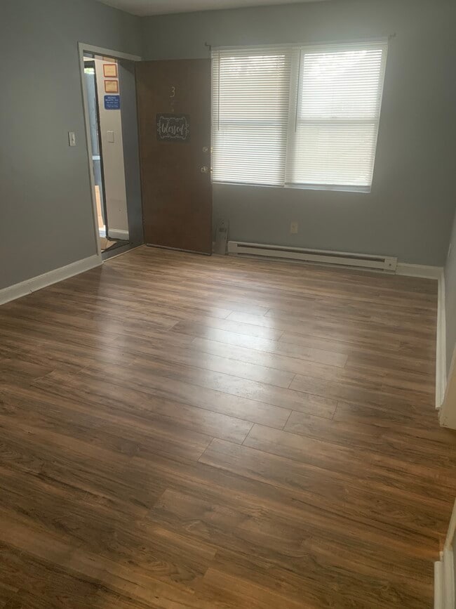
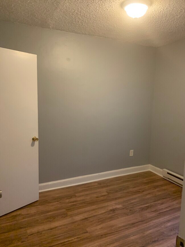
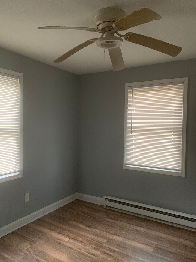
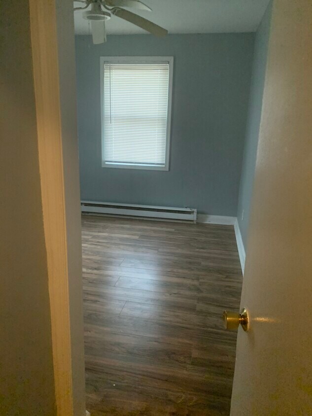
15 46th Pl NE Unit 3
Washington, DC 20019
2 Weeks Ago
Favorites
15 46th Pl NE Unit 3

Favorites
Check Back Soon for Upcoming Availability
| Beds | Baths | Average SF |
|---|---|---|
| 2 Bedrooms 2 Bedrooms 2 Br | 1 Bath 1 Bath 1 Ba | 550 SF |
Fees and Policies
The fees below are based on community-supplied data and may exclude additional fees and utilities.
- Parking
-
Street--
Details
Utilities Included
-
Water
-
Trash Removal
Property Information
-
10 units
About This Property
Apartment is one block away from Benning Road metro
15 46th Pl NE is an apartment community located in District of Columbia County and the 20019 ZIP Code.
Apartment Features
- Smoke Free
- Laundry Facilities
Location
Get Directions
The Minnesota Avenue neighborhood follows Minnesota Avenue from Capitol Street northward to Nannie Helen Burroughs Avenue. It extends east from the Anacostia River to the Capitol View neighborhood. It includes the Minnesota Avenue Metro Station, located on the Orange line. Fort Mahan Park, located on a hill in the middle of the neighborhood, features hiking trails, a lake, and remnants of a Civil War fort. The Minnesota Avenue neighborhood is located about four miles southeast of Downtown DC.
Learn more about living in Minnesota AveBelow are rent ranges for similar nearby apartments
| Beds | Average Size | Lowest | Typical | Premium |
|---|---|---|---|---|
| Studio Studio Studio | 548-549 Sq Ft | $1,210 | $1,746 | $1,875 |
| 1 Bed 1 Bed 1 Bed | 679-682 Sq Ft | $850 | $1,861 | $2,500 |
| 2 Beds 2 Beds 2 Beds | 949-952 Sq Ft | $1,235 | $2,423 | $3,025 |
| 3 Beds 3 Beds 3 Beds | 976-1057 Sq Ft | $2,130 | $2,441 | $2,800 |
| 4 Beds 4 Beds 4 Beds | 887 Sq Ft | $810 | $2,299 | $4,650 |
Amenities
- Smoke Free
- Laundry Facilities
Expenses
Utilities Included
Water, Trash Removal
Included
Education
| Colleges & Universities | Distance | ||
|---|---|---|---|
| Colleges & Universities | Distance | ||
| Drive: | 7 min | 3.8 mi | |
| Drive: | 8 min | 4.7 mi | |
| Drive: | 8 min | 4.7 mi | |
| Drive: | 10 min | 5.8 mi |
15 46th Pl NE Unit 3 is within 7 minutes or 3.8 miles from Gallaudet University. It is also near Georgetown and Georgetown Law.
Transportation options available in Washington include Benning Road, located 0.2 mile from 15 46th Pl NE Unit 3. 15 46th Pl NE Unit 3 is near Ronald Reagan Washington Ntl, located 10.2 miles or 18 minutes away, and Baltimore/Washington International Thurgood Marshall, located 28.7 miles or 42 minutes away.
| Transit / Subway | Distance | ||
|---|---|---|---|
| Transit / Subway | Distance | ||
|
|
Walk: | 3 min | 0.2 mi |
|
|
Drive: | 3 min | 1.5 mi |
|
Capitol Heights, Blue/Silver Line Center Platform
|
Drive: | 4 min | 1.5 mi |
|
|
Drive: | 4 min | 1.7 mi |
| Drive: | 3 min | 2.0 mi |
| Commuter Rail | Distance | ||
|---|---|---|---|
| Commuter Rail | Distance | ||
|
|
Drive: | 6 min | 4.0 mi |
|
|
Drive: | 8 min | 4.2 mi |
|
|
Drive: | 10 min | 5.5 mi |
|
|
Drive: | 10 min | 5.5 mi |
|
|
Drive: | 13 min | 6.5 mi |
| Airports | Distance | ||
|---|---|---|---|
| Airports | Distance | ||
|
Ronald Reagan Washington Ntl
|
Drive: | 18 min | 10.2 mi |
|
Baltimore/Washington International Thurgood Marshall
|
Drive: | 42 min | 28.7 mi |
Time and distance from 15 46th Pl NE Unit 3.
| Shopping Centers | Distance | ||
|---|---|---|---|
| Shopping Centers | Distance | ||
| Walk: | 4 min | 0.2 mi | |
| Walk: | 12 min | 0.7 mi | |
| Walk: | 15 min | 0.8 mi |
15 46th Pl NE Unit 3 has 3 shopping centers within 0.8 mile, which is about a 15-minute walk. The miles and minutes will be for the farthest away property.
| Parks and Recreation | Distance | ||
|---|---|---|---|
| Parks and Recreation | Distance | ||
|
Fort Dupont Park
|
Drive: | 4 min | 1.4 mi |
|
Kingman and Heritage Island Park
|
Drive: | 3 min | 2.0 mi |
|
Washington Youth Garden
|
Drive: | 5 min | 3.5 mi |
|
Frederick Douglass National Historic Site
|
Drive: | 10 min | 3.8 mi |
|
National Arboretum
|
Drive: | 10 min | 4.2 mi |
15 46th Pl NE Unit 3 has 5 parks within 4.2 miles, including Fort Dupont Park, Kingman and Heritage Island Park, and Washington Youth Garden.
| Hospitals | Distance | ||
|---|---|---|---|
| Hospitals | Distance | ||
| Drive: | 7 min | 3.9 mi | |
| Drive: | 13 min | 5.1 mi | |
| Drive: | 14 min | 5.6 mi |
15 46th Pl NE Unit 3 has 3 hospitals within 5.6 miles, the nearest is University of Maryland Prince George's Hospital Center which is 3.9 miles away and a 7 minute drive.
| Military Bases | Distance | ||
|---|---|---|---|
| Military Bases | Distance | ||
| Drive: | 9 min | 5.0 mi | |
| Drive: | 12 min | 6.5 mi |
15 46th Pl NE Unit 3 is 5.0 miles from Washington Navy Yard, and is convenient to other military bases, including Anacostia Naval Station.
You May Also Like
-
Lynbrook at Mark Center Apartment Homes
5510 Ascot Ct
Alexandria, VA 22311
2-3 Br $1,810-$3,744 11.2 mi
-
The Point at Falls Church
2121 N Westmoreland St
Arlington, VA 22213
2 Br $3,037-$5,025 12.1 mi
-
Ravel & Royale on Strathmore Square
10511 Strathmore Hall St
North Bethesda, MD 20852
2-3 Br $3,939-$11,745 13.1 mi
Similar Rentals Nearby
-
-
-
1 / 33

-
-
-
-
-
-
-


What Are Walk Score®, Transit Score®, and Bike Score® Ratings?
Walk Score® measures the walkability of any address. Transit Score® measures access to public transit. Bike Score® measures the bikeability of any address.
What is a Sound Score Rating?
A Sound Score Rating aggregates noise caused by vehicle traffic, airplane traffic and local sources
15 46th Pl NE
Washington, DC 20019