
$2,250 / Month
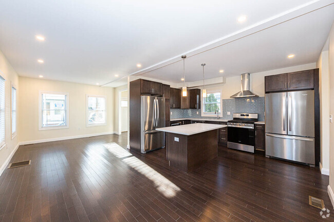
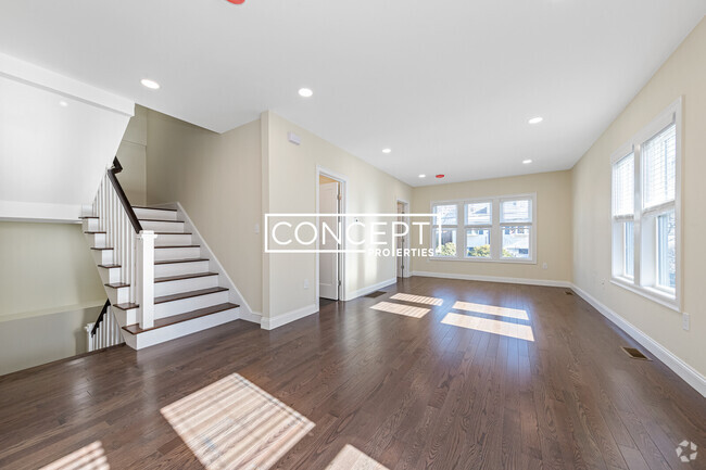
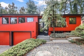
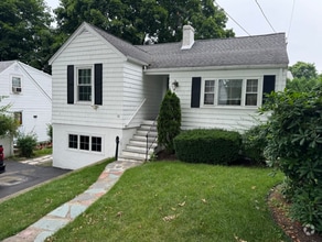
11 Larose Pl
Boston, MA 02135
2 Weeks Ago
Favorites
11 Larose Pl

Favorites
Check Back Soon for Upcoming Availability
| Beds | Baths | Average SF |
|---|---|---|
| 2 Bedrooms 2 Bedrooms 2 Br | 1 Bath 1 Bath 1 Ba | 1,050 SF |
Fees and Policies
The fees below are based on community-supplied data and may exclude additional fees and utilities.
- Dogs Allowed
-
Fees not specified
-
Restrictions:0
- Cats Allowed
-
Fees not specified
-
Restrictions:0
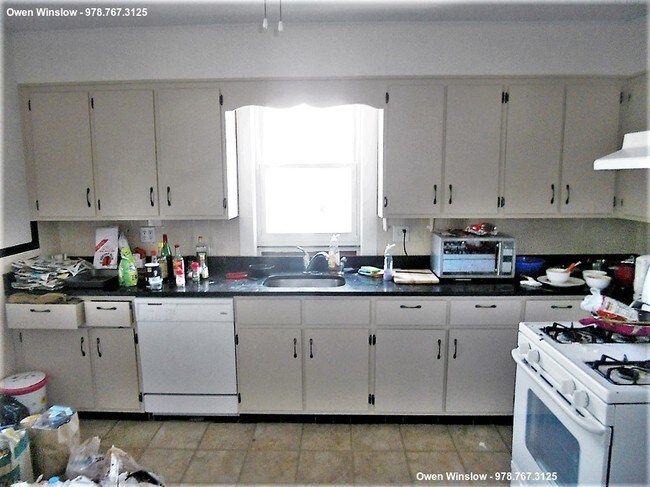
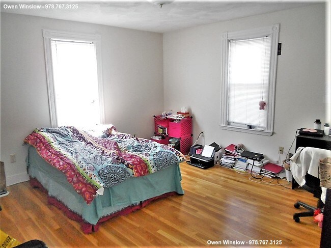
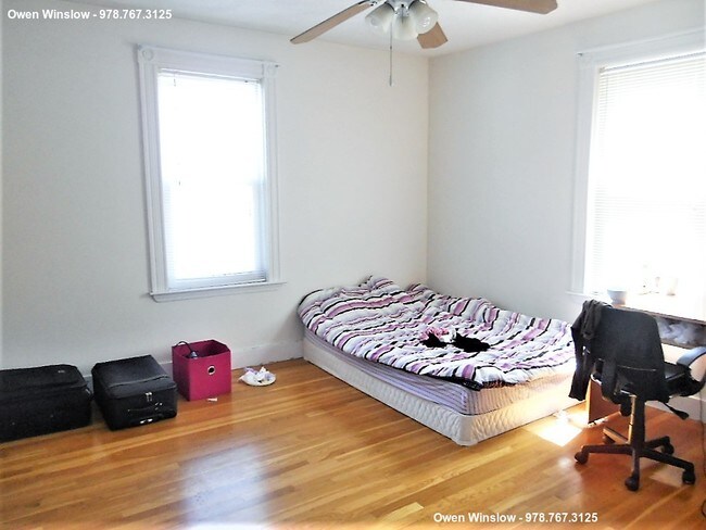
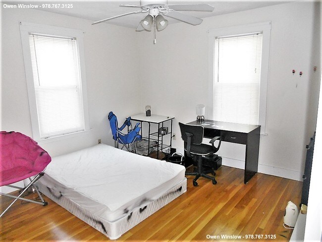
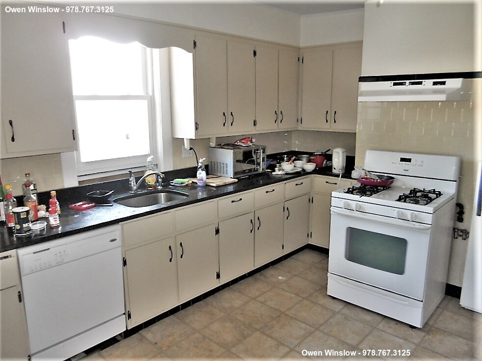
About This Property
Call or text Owen at 978-767-3125 or email owen1@eastcoastrealty.com for more information and to schedule a showing! Public Transportation: Green B-Line - Chiswick Road (0.3 mi) EXPRESS Bus 501, Winship St @ Union St (0.1 mi) EXPRESS Bus 503, Winship St (0.1 mi) Bus: 65, Washington St @ Shepard St (0.2 mi) Bus: 86, Chestnut Hill Ave @ Union St (0.2 mi) Bus: 64, Faneuil St @ Oakland St (0.64 mi) Bus: 57, Cambridge St @ Washington St (0.2 mi)
11 Larose Pl is a house located in Suffolk County and the 02135 ZIP Code. This area is served by the Boston Public Schools attendance zone.
Location
Get Directions
Saint Elizabeth’s is a Brighton neighborhood situated about 10 miles away from Boston. Thanks to Saint Elizabeth’s top border sitting on Highway 20, commuting in and out of Brighton is easy. Some residents travel by car, but buses and railways make commuting via public transportation a breeze.
The neighborhood’s best amenities are two world-renowned hospitals, Saint Elizabeth’s Medical Center and Franciscan Children’s, that sit on the edge of town. Other great amenities of Saint Elizabeth’s include many local parks like Ringer Playground and Chestnut Hill Reservoir, which has great trails and greenspace. This neighborhood is also equipped with cozy coffee shops, restaurants serving international and American classics, and shopping plazas with grocers and convenience stores.
Saint Elizabeth’s has several rental options ranging from apartments to single-family homes.
Learn more about living in St Elizabeth'sBelow are rent ranges for similar nearby apartments
| Beds | Average Size | Lowest | Typical | Premium |
|---|---|---|---|---|
| Studio Studio Studio | 4510-4511 Sq Ft | $1,725 | $2,235 | $5,650 |
| 1 Bed 1 Bed 1 Bed | 3487 Sq Ft | $1,333 | $2,593 | $10,000 |
| 2 Beds 2 Beds 2 Beds | 3439-3440 Sq Ft | $1,200 | $3,311 | $6,800 |
| 3 Beds 3 Beds 3 Beds | 5488 Sq Ft | $1,325 | $3,865 | $7,043 |
| 4 Beds 4 Beds 4 Beds | 5614 Sq Ft | $900 | $5,500 | $23,500 |
Education
| Colleges & Universities | Distance | ||
|---|---|---|---|
| Colleges & Universities | Distance | ||
| Drive: | 5 min | 1.2 mi | |
| Drive: | 4 min | 1.8 mi | |
| Drive: | 5 min | 2.4 mi | |
| Drive: | 8 min | 3.6 mi |
11 Larose Pl is within 5 minutes or 1.2 miles from Boston College, Brighton. It is also near Boston College and Boston University.
Schools


Public Elementary & Middle School
Grades K-8
456 Students
Nearby
Public Elementary School
Grades PK-6
338 Students
Nearby
Charter Middle & High School
Grades 6-12
476 Students
Nearby
Public Middle & High School
Grades 7-12
532 Students
Nearby
Private Elementary School
Grades PK-6
103 Students
Nearby
Private Middle & High School
Grades 7-12
9 Students
Nearby
School data provided by
 The GreatSchools Rating helps parents compare schools within a state based on a variety of school quality indicators and provides a helpful picture of how effectively each school serves all of its students. Ratings are on a scale of 1 (below average) to 10 (above average) and can include test scores, college readiness, academic progress, advanced courses, equity, discipline and attendance data. We also advise parents to visit schools, consider other information on school performance and programs, and consider family needs as part of the school selection process.
View GreatSchools Rating Methodology
View GreatSchools Rating Methodology
Transportation options available in Boston include Washington Street, located 0.4 mile from 11 Larose Pl. 11 Larose Pl is near General Edward Lawrence Logan International, located 9.5 miles or 17 minutes away.
| Transit / Subway | Distance | ||
|---|---|---|---|
| Transit / Subway | Distance | ||
|
|
Walk: | 6 min | 0.4 mi |
|
|
Walk: | 7 min | 0.4 mi |
|
|
Walk: | 10 min | 0.5 mi |
|
|
Walk: | 12 min | 0.7 mi |
|
|
Walk: | 16 min | 0.8 mi |
| Commuter Rail | Distance | ||
|---|---|---|---|
| Commuter Rail | Distance | ||
|
|
Drive: | 8 min | 3.5 mi |
|
|
Drive: | 7 min | 3.6 mi |
|
|
Drive: | 8 min | 3.8 mi |
| Drive: | 9 min | 4.3 mi | |
|
|
Drive: | 10 min | 4.6 mi |
| Airports | Distance | ||
|---|---|---|---|
| Airports | Distance | ||
|
General Edward Lawrence Logan International
|
Drive: | 17 min | 9.5 mi |
Time and distance from 11 Larose Pl.
| Shopping Centers | Distance | ||
|---|---|---|---|
| Shopping Centers | Distance | ||
| Walk: | 9 min | 0.5 mi | |
| Walk: | 16 min | 0.8 mi | |
| Drive: | 4 min | 1.3 mi |
11 Larose Pl has 3 shopping centers within 1.3 miles, which is about a 4-minute walk. The miles and minutes will be for the farthest away property.
| Parks and Recreation | Distance | ||
|---|---|---|---|
| Parks and Recreation | Distance | ||
|
Chestnut Hill Reservation
|
Walk: | 16 min | 0.9 mi |
|
John Fitzgerald Kennedy National Historic Site
|
Drive: | 4 min | 1.8 mi |
|
Frederick Law Olmsted National Historic Site
|
Drive: | 5 min | 2.1 mi |
|
Hammond Pond Reservation
|
Drive: | 6 min | 2.8 mi |
|
Coit Observatory
|
Drive: | 6 min | 2.9 mi |
11 Larose Pl has 5 parks within 2.9 miles, including Chestnut Hill Reservation, John Fitzgerald Kennedy National Historic Site, and Frederick Law Olmsted National Historic Site.
| Hospitals | Distance | ||
|---|---|---|---|
| Hospitals | Distance | ||
| Walk: | 10 min | 0.5 mi | |
| Walk: | 10 min | 0.6 mi | |
| Drive: | 3 min | 1.8 mi |
11 Larose Pl has 3 hospitals within 1.8 miles, the nearest is St. Elizabeth's Medical Center which is 0.5 mile away and a 10 minute walk.
| Military Bases | Distance | ||
|---|---|---|---|
| Military Bases | Distance | ||
| Drive: | 27 min | 12.6 mi | |
| Drive: | 23 min | 13.6 mi |
11 Larose Pl is 12.6 miles from Hanscom Air Force Base, and is convenient to other military bases, including US Military Reservation.
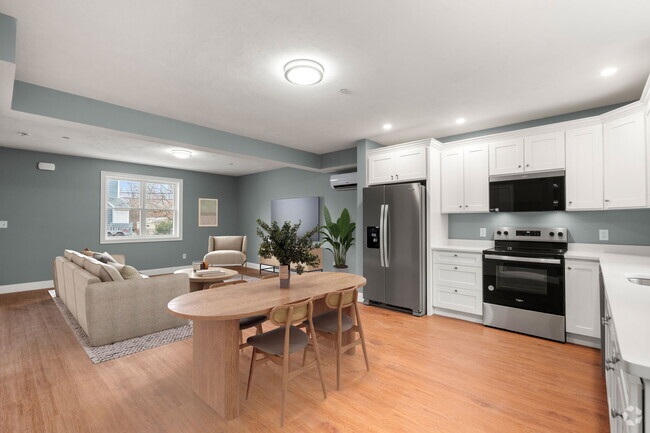
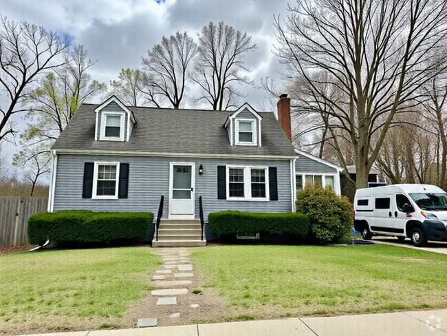
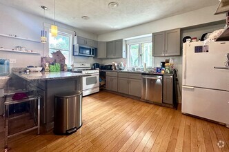
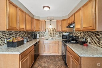
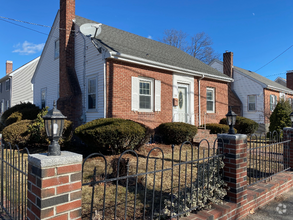
You May Also Like
Similar Rentals Nearby
What Are Walk Score®, Transit Score®, and Bike Score® Ratings?
Walk Score® measures the walkability of any address. Transit Score® measures access to public transit. Bike Score® measures the bikeability of any address.
What is a Sound Score Rating?
A Sound Score Rating aggregates noise caused by vehicle traffic, airplane traffic and local sources
11 Larose Pl
Boston, MA 02135