
Urbn Edge
3510 Union St,
Flushing, NY 11354
$3,050 - $12,000
Studio - 2 Beds

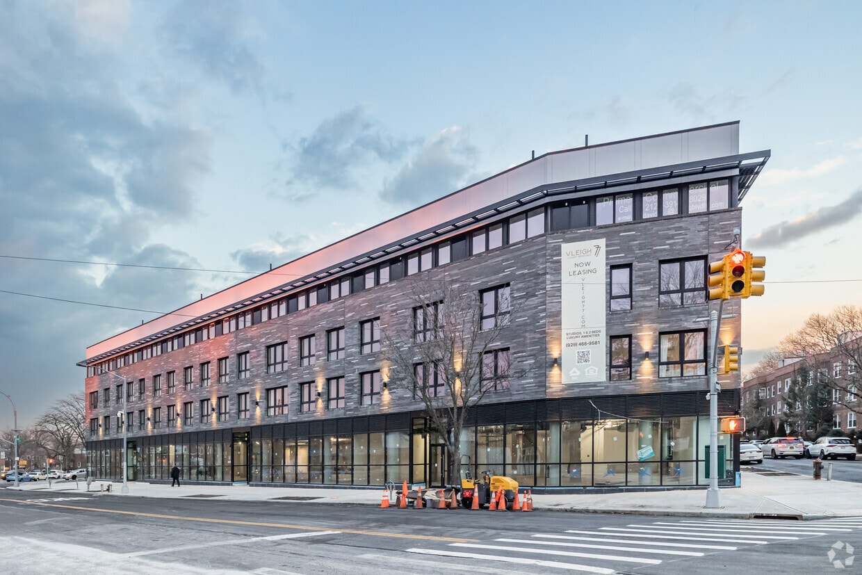
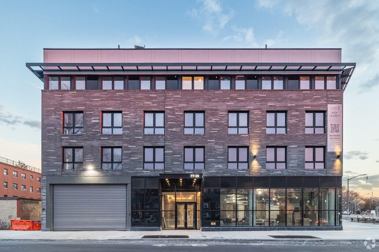
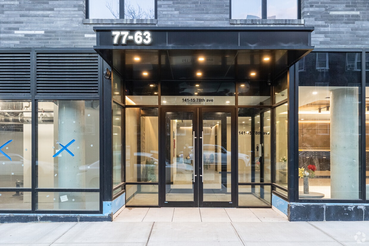
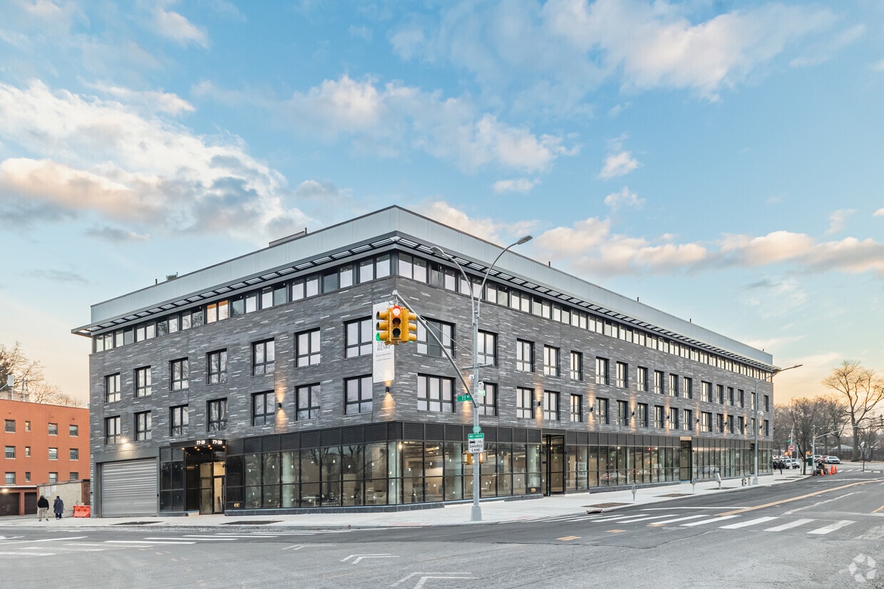
Come enjoy Flushing living at 77-63 Vleigh Pl. This community is located in the 11367 area of Flushing. The professional leasing team is available to help you find your ideal place. Your new home awaits you at 77-63 Vleigh Pl. Contact us or stop by the leasing office to learn more about our community.
Vleigh 77 is an apartment community located in Queens County and the 11367 ZIP Code. This area is served by the New York City Geographic District #25 attendance zone.
Elevator
Concierge
Roof Terrace
Controlled Access
Air Conditioning
Dishwasher
Microwave
Refrigerator
Located in Queens, Kew Garden Hills is a densely populated area that’s home to more than 38,000 residents and is the location of Queens College. With easy access to New York's comprehensive public transportation that includes the subway system, Kew Garden Hills is a very popular neighborhood. It is close to major highways, and its quiet residential streets wrap around a much busier Main Street. Kew Garden Hills is located in the southwest corner of Flushing, a village that contains one of New York's largest central business districts.
You'll find a variety of apartments in Kew Gardens Hills, most being three- to six-story garden apartments. Single-family homes and row houses are also popular. The area offers a variety of nearby parks as well as festivals and other cultural events and activities. With a variety of stores and restaurants available, this is a pedestrian-friendly neighborhood where walking to the corner market or the local coffee shop is an everyday occurrence.
Learn more about living in Kew Garden Hills| Colleges & Universities | Distance | ||
|---|---|---|---|
| Colleges & Universities | Distance | ||
| Drive: | 5 min | 1.9 mi | |
| Drive: | 5 min | 2.0 mi | |
| Drive: | 6 min | 3.3 mi | |
| Drive: | 10 min | 5.4 mi |


Transportation options available in Flushing include Briarwood-Van Wyck Boulevard, located 1.0 mile from Vleigh 77. Vleigh 77 is near LaGuardia, located 6.1 miles or 11 minutes away, and John F Kennedy International, located 7.1 miles or 10 minutes away.
| Transit / Subway | Distance | ||
|---|---|---|---|
| Transit / Subway | Distance | ||
|
|
Walk: | 18 min | 1.0 mi |
|
|
Drive: | 3 min | 1.5 mi |
|
|
Drive: | 4 min | 1.5 mi |
|
|
Drive: | 4 min | 1.7 mi |
|
|
Drive: | 5 min | 2.3 mi |
| Commuter Rail | Distance | ||
|---|---|---|---|
| Commuter Rail | Distance | ||
|
|
Drive: | 4 min | 1.5 mi |
|
|
Drive: | 5 min | 1.7 mi |
|
|
Drive: | 4 min | 2.0 mi |
|
|
Drive: | 8 min | 3.4 mi |
|
|
Drive: | 8 min | 4.2 mi |
| Airports | Distance | ||
|---|---|---|---|
| Airports | Distance | ||
|
LaGuardia
|
Drive: | 11 min | 6.1 mi |
|
John F Kennedy International
|
Drive: | 10 min | 7.1 mi |
Time and distance from Vleigh 77.
| Shopping Centers | Distance | ||
|---|---|---|---|
| Shopping Centers | Distance | ||
| Drive: | 5 min | 1.5 mi | |
| Drive: | 4 min | 1.7 mi | |
| Drive: | 4 min | 1.8 mi |
| Parks and Recreation | Distance | ||
|---|---|---|---|
| Parks and Recreation | Distance | ||
|
Rufus King Park
|
Drive: | 6 min | 2.2 mi |
|
Kissena Park
|
Drive: | 6 min | 2.5 mi |
|
Queens Botanical Garden
|
Drive: | 6 min | 2.7 mi |
|
Forest Park - Brooklyn-Queens
|
Drive: | 6 min | 3.1 mi |
|
Flushing Meadows Corona Park
|
Drive: | 7 min | 4.0 mi |
| Hospitals | Distance | ||
|---|---|---|---|
| Hospitals | Distance | ||
| Drive: | 3 min | 1.4 mi | |
| Drive: | 3 min | 1.5 mi | |
| Drive: | 7 min | 3.0 mi |
| Military Bases | Distance | ||
|---|---|---|---|
| Military Bases | Distance | ||
| Drive: | 14 min | 8.3 mi | |
| Drive: | 32 min | 15.9 mi |
What Are Walk Score®, Transit Score®, and Bike Score® Ratings?
Walk Score® measures the walkability of any address. Transit Score® measures access to public transit. Bike Score® measures the bikeability of any address.
What is a Sound Score Rating?
A Sound Score Rating aggregates noise caused by vehicle traffic, airplane traffic and local sources
77-63 Vleigh Pl
Flushing, NY 11367


