
The Drexel at Oakley
3827 Paxton Ave,
Cincinnati, OH 45209
$1,595 - $2,595
1-3 Beds
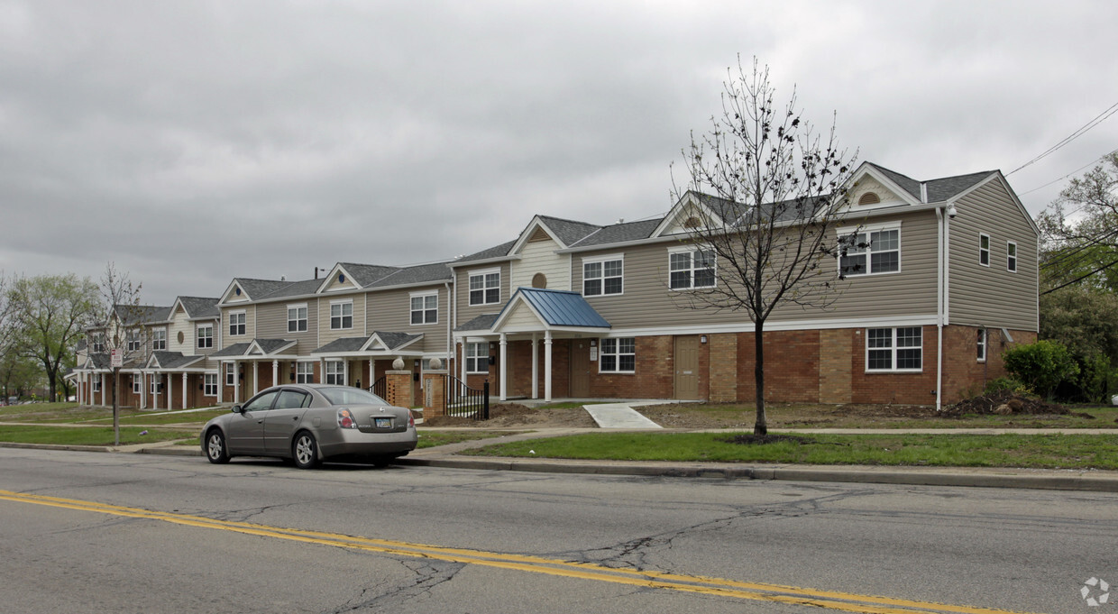
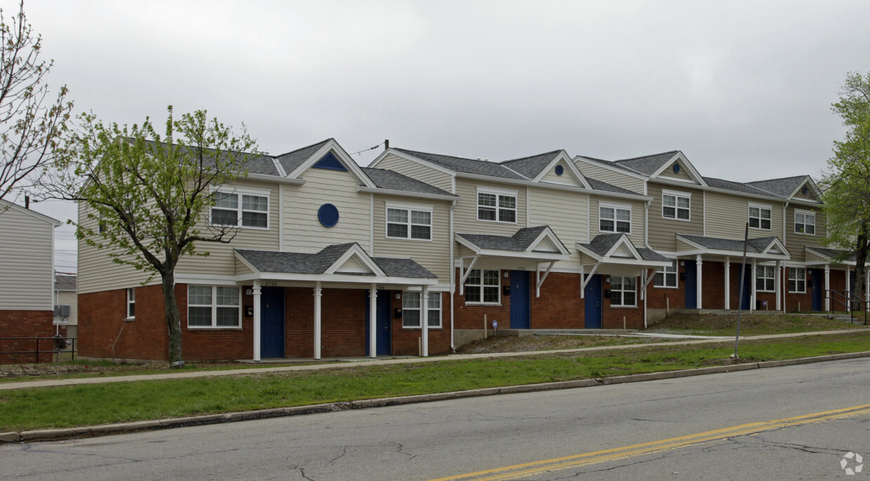
Come home to Villages at Roll Hill in Cincinnati, OH. You'll find this community in the 45225 area of Cincinnati. The leasing team is ready to help you find your new home. Make your move to Villages at Roll Hill. Contact us or stop by the leasing office to discuss your new apartment.
Villages at Roll Hill is an apartment community located in Hamilton County and the 45225 ZIP Code. This area is served by the Cincinnati Public Schools attendance zone.
Laundry Facilities
Clubhouse
Day Care
24 Hour Access
Air Conditioning
High Speed Internet Access
Security System
Smoke Free
East Westwood is a small but popular neighborhood roughly six miles northwest of Downtown Cincinnati. It is close to everything you love about the city – the Cincinnati Zoo and Botanical Garden, the University of Cincinnati, and the Duke Energy Convention Center – while still providing a somewhat quieter place to call home. East Westwood is directly south of Interstate 74, making this area popular with commuters. The vast Mt. Airy Forest borders East Westwood on its north end, providing a fantastic back yard filled with hiking trails, a disc golf course, a dog park, the Maple Ridge Lodge, and the Unnewehr House. Single-family homes make up the bulk of the rental scene here, but there’s charm to be found in every listing in East Westwood.
Learn more about living in East Westwood| Colleges & Universities | Distance | ||
|---|---|---|---|
| Colleges & Universities | Distance | ||
| Drive: | 11 min | 3.0 mi | |
| Drive: | 10 min | 4.1 mi | |
| Drive: | 12 min | 4.6 mi | |
| Drive: | 17 min | 7.6 mi |


Transportation options available in Cincinnati include Brewery District Station, Elm & Henry, located 4.9 miles from Villages at Roll Hill. Villages at Roll Hill is near Cincinnati/Northern Kentucky International, located 18.9 miles or 35 minutes away.
| Transit / Subway | Distance | ||
|---|---|---|---|
| Transit / Subway | Distance | ||
| Drive: | 11 min | 4.9 mi | |
| Drive: | 12 min | 5.0 mi | |
| Drive: | 12 min | 5.1 mi | |
| Drive: | 12 min | 5.1 mi | |
| Drive: | 12 min | 5.2 mi |
| Commuter Rail | Distance | ||
|---|---|---|---|
| Commuter Rail | Distance | ||
|
|
Drive: | 11 min | 4.8 mi |
| Airports | Distance | ||
|---|---|---|---|
| Airports | Distance | ||
|
Cincinnati/Northern Kentucky International
|
Drive: | 35 min | 18.9 mi |
Time and distance from Villages at Roll Hill.
| Shopping Centers | Distance | ||
|---|---|---|---|
| Shopping Centers | Distance | ||
| Drive: | 7 min | 2.5 mi | |
| Drive: | 8 min | 3.1 mi | |
| Drive: | 11 min | 4.2 mi |
| Parks and Recreation | Distance | ||
|---|---|---|---|
| Parks and Recreation | Distance | ||
|
Mt. Airy Forest
|
Drive: | 6 min | 2.3 mi |
|
Buttercup Valley
|
Drive: | 9 min | 3.2 mi |
|
Burnet Woods
|
Drive: | 10 min | 3.9 mi |
|
Trailside Nature Center
|
Drive: | 10 min | 4.1 mi |
|
LaBoiteaux Woods
|
Drive: | 11 min | 4.4 mi |
| Hospitals | Distance | ||
|---|---|---|---|
| Hospitals | Distance | ||
| Drive: | 8 min | 3.4 mi | |
| Drive: | 12 min | 4.6 mi | |
| Drive: | 13 min | 4.7 mi |
| Military Bases | Distance | ||
|---|---|---|---|
| Military Bases | Distance | ||
| Drive: | 72 min | 54.0 mi | |
| Drive: | 78 min | 59.0 mi | |
| Drive: | 80 min | 62.3 mi |
What Are Walk Score®, Transit Score®, and Bike Score® Ratings?
Walk Score® measures the walkability of any address. Transit Score® measures access to public transit. Bike Score® measures the bikeability of any address.
What is a Sound Score Rating?
A Sound Score Rating aggregates noise caused by vehicle traffic, airplane traffic and local sources

3710 President Dr
Cincinnati, OH 45225


