
MAA Addison Circle
5009 Addison Cir,
Addison, TX 75001
$1,025 - $4,910
Studio - 3 Beds
You Owe it to Yourself to Expect More - at Villa Creek! Here, you're close to everything North Dallas has to offer - from awesome shopping, to some of the best dining in North Texas. Additionally, Villa Creek is close to major employment centers, as well as thoroughfares that will take you there quickly! Offering spacious 1,2 and 3 bedroom apartment homes conveniently located close to everything that North Dallas has to offer. Enjoy a carefree lifestyle at Villa Creek. If you enjoy shopping, dining and entertainment, you're in the right place. Villa Creek is close to it all! Villa Creek is conveniently located just North of I-635 and West of Josey Lane, in beautiful Farmers Branch, Texas. Here, you're close to the Galleria, major thoroughfares including the North Dallas Tollway, I-35 and much more. Come check out Villa Creek today - you'll be glad you did!
Villa Creek is an apartment community located in Dallas County and the 75234 ZIP Code. This area is served by the Dallas Independent School District attendance zone.
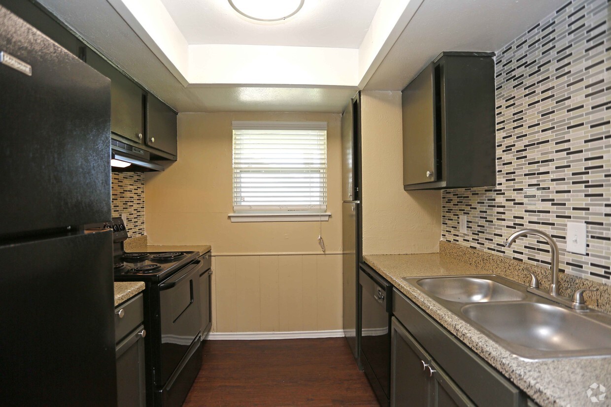
Unique Features
Laundry Facilities
24 Hour Access
Property Manager on Site
Maintenance on site
Air Conditioning
Dishwasher
High Speed Internet Access
Hardwood Floors
Walk-In Closets
Refrigerator
Tub/Shower
Disposal
Located in the Dallas-Fort Worth metroplex, Farmers Branch combines residential comfort with easy access to city amenities. The city's extensive parks and green spaces have earned it the nickname "The City in a Park." With approximately 36,000 residents, Farmers Branch offers various rental options, from studios averaging $1,359 monthly to three-bedroom homes at $2,434. The DART light rail station area and the historic district near the original settlement feature established residential communities, while providing convenient access to downtown Dallas.
Farmers Branch traces its roots to the 1850s, when settlers Thomas Keenan, Isaac B. Webb, and William Cochran established the community. Originally called Mustang Branch, the name later changed to reflect the area's farming heritage. Today, the city serves as headquarters for more than 3,500 businesses, including Celanese Corporation and OxyChem.
Learn more about living in Farmers Branch| Colleges & Universities | Distance | ||
|---|---|---|---|
| Colleges & Universities | Distance | ||
| Drive: | 6 min | 2.9 mi | |
| Drive: | 6 min | 3.3 mi | |
| Drive: | 9 min | 6.6 mi | |
| Drive: | 11 min | 6.6 mi |


Transportation options available in Farmers Branch include Farmers Branch Station, located 1.6 miles from Villa Creek. Villa Creek is near Dallas Love Field, located 10.1 miles or 17 minutes away, and Dallas-Fort Worth International, located 14.3 miles or 19 minutes away.
| Transit / Subway | Distance | ||
|---|---|---|---|
| Transit / Subway | Distance | ||
|
|
Drive: | 4 min | 1.6 mi |
|
|
Drive: | 4 min | 1.6 mi |
|
|
Drive: | 6 min | 3.1 mi |
|
|
Drive: | 6 min | 4.2 mi |
|
|
Drive: | 11 min | 6.5 mi |
| Commuter Rail | Distance | ||
|---|---|---|---|
| Commuter Rail | Distance | ||
|
|
Drive: | 9 min | 6.5 mi |
| Drive: | 14 min | 9.5 mi | |
|
|
Drive: | 14 min | 9.6 mi |
|
|
Drive: | 14 min | 10.1 mi |
|
|
Drive: | 17 min | 12.5 mi |
| Airports | Distance | ||
|---|---|---|---|
| Airports | Distance | ||
|
Dallas Love Field
|
Drive: | 17 min | 10.1 mi |
|
Dallas-Fort Worth International
|
Drive: | 19 min | 14.3 mi |
Time and distance from Villa Creek.
| Shopping Centers | Distance | ||
|---|---|---|---|
| Shopping Centers | Distance | ||
| Walk: | 7 min | 0.4 mi | |
| Walk: | 14 min | 0.8 mi | |
| Drive: | 3 min | 1.1 mi |
| Parks and Recreation | Distance | ||
|---|---|---|---|
| Parks and Recreation | Distance | ||
|
Elm Fork Preserve
|
Drive: | 10 min | 5.5 mi |
|
Beckert Park
|
Drive: | 11 min | 7.3 mi |
|
Grapevine Springs Preserve
|
Drive: | 14 min | 9.3 mi |
|
Cottonwood Park
|
Drive: | 14 min | 9.3 mi |
|
Coppell Community Garden
|
Drive: | 17 min | 10.7 mi |
| Hospitals | Distance | ||
|---|---|---|---|
| Hospitals | Distance | ||
| Walk: | 13 min | 0.7 mi | |
| Drive: | 7 min | 4.3 mi | |
| Drive: | 9 min | 5.2 mi |
| Military Bases | Distance | ||
|---|---|---|---|
| Military Bases | Distance | ||
| Drive: | 23 min | 15.7 mi | |
| Drive: | 52 min | 38.4 mi |
What Are Walk Score®, Transit Score®, and Bike Score® Ratings?
Walk Score® measures the walkability of any address. Transit Score® measures access to public transit. Bike Score® measures the bikeability of any address.
What is a Sound Score Rating?
A Sound Score Rating aggregates noise caused by vehicle traffic, airplane traffic and local sources.

2835-2875 Villa Creek Dr
Farmers Branch, TX 75234


