
The Landings at Riverwalk
300 Riverfront Blvd,
Elmwood Park, NJ 07407
$2,550 - $4,667
1-2 Beds


The Smith Building is an apartment community located in Passaic County and the 07505 ZIP Code. This area is served by the Paterson Public attendance zone.
Refrigerator
Tub/Shower
Freezer
Heating
Nestled along the Passaic River, Downtown Paterson is the heart of Paterson and the city’s oldest district. Downtown Paterson is filled with government offices, restaurants, thrift shops, specialty stores, and more. This commercial hub also hosts several events throughout the year like sidewalk sales and holiday celebrations. Living in Downtown Paterson will also place you near several waterfront parks like the Paterson Great Falls National Historic Park, which boasts a 77-foot waterfall. Downtown Paterson offers a variety of rental options including studios and traditional apartments and triple-decker houses.
Learn more about living in Downtown Paterson| Colleges & Universities | Distance | ||
|---|---|---|---|
| Colleges & Universities | Distance | ||
| Walk: | 5 min | 0.3 mi | |
| Drive: | 5 min | 2.0 mi | |
| Drive: | 7 min | 3.2 mi | |
| Drive: | 8 min | 4.6 mi |


Transportation options available in Paterson include Grove Street, located 10.5 miles from The Smith Building. The Smith Building is near Newark Liberty International, located 21.1 miles or 25 minutes away, and LaGuardia, located 24.9 miles or 37 minutes away.
| Transit / Subway | Distance | ||
|---|---|---|---|
| Transit / Subway | Distance | ||
|
|
Drive: | 15 min | 10.5 mi |
|
|
Drive: | 16 min | 10.8 mi |
|
|
Drive: | 16 min | 10.9 mi |
|
|
Drive: | 17 min | 11.3 mi |
| Commuter Rail | Distance | ||
|---|---|---|---|
| Commuter Rail | Distance | ||
|
|
Walk: | 4 min | 0.2 mi |
|
|
Drive: | 5 min | 2.7 mi |
|
|
Drive: | 6 min | 3.5 mi |
|
|
Drive: | 8 min | 4.3 mi |
|
|
Drive: | 7 min | 4.7 mi |
| Airports | Distance | ||
|---|---|---|---|
| Airports | Distance | ||
|
Newark Liberty International
|
Drive: | 25 min | 21.1 mi |
|
LaGuardia
|
Drive: | 37 min | 24.9 mi |
Time and distance from The Smith Building.
| Shopping Centers | Distance | ||
|---|---|---|---|
| Shopping Centers | Distance | ||
| Walk: | 12 min | 0.6 mi | |
| Drive: | 4 min | 2.2 mi | |
| Drive: | 4 min | 2.3 mi |
| Parks and Recreation | Distance | ||
|---|---|---|---|
| Parks and Recreation | Distance | ||
|
Rifle Camp Park Observatory
|
Drive: | 5 min | 3.2 mi |
|
Presby Memorial Iris Gardens
|
Drive: | 9 min | 5.7 mi |
|
NJ Audubon Lorrimer Sanctuary
|
Drive: | 10 min | 5.9 mi |
|
McFaul Environmental Center
|
Drive: | 19 min | 8.5 mi |
|
Saddle River County Park
|
Drive: | 17 min | 8.8 mi |
| Hospitals | Distance | ||
|---|---|---|---|
| Hospitals | Distance | ||
| Drive: | 2 min | 1.2 mi | |
| Drive: | 9 min | 5.4 mi | |
| Drive: | 9 min | 6.0 mi |
| Military Bases | Distance | ||
|---|---|---|---|
| Military Bases | Distance | ||
| Drive: | 34 min | 23.4 mi | |
| Drive: | 33 min | 24.4 mi |
What Are Walk Score®, Transit Score®, and Bike Score® Ratings?
Walk Score® measures the walkability of any address. Transit Score® measures access to public transit. Bike Score® measures the bikeability of any address.
What is a Sound Score Rating?
A Sound Score Rating aggregates noise caused by vehicle traffic, airplane traffic and local sources
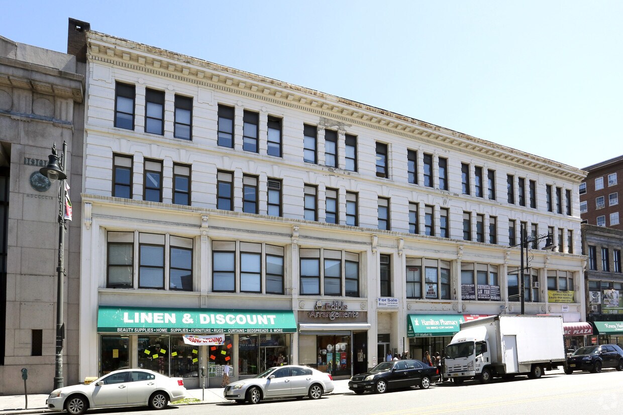
171-181 Market St
Paterson, NJ 07505


