
Urban Village Midtown
3009 Harney St,
Omaha, NE 68131
$850 - $2,595
1-3 Beds
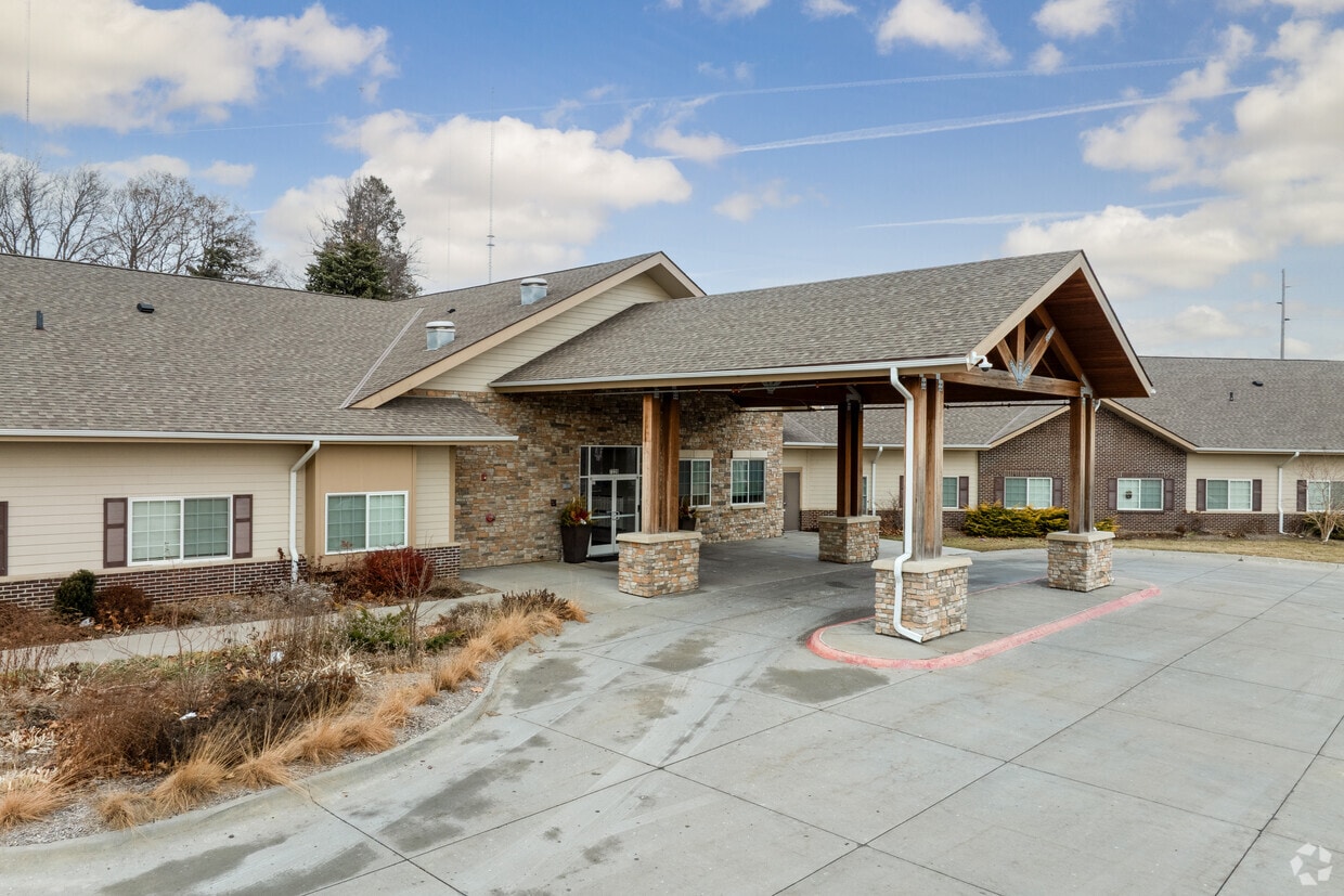
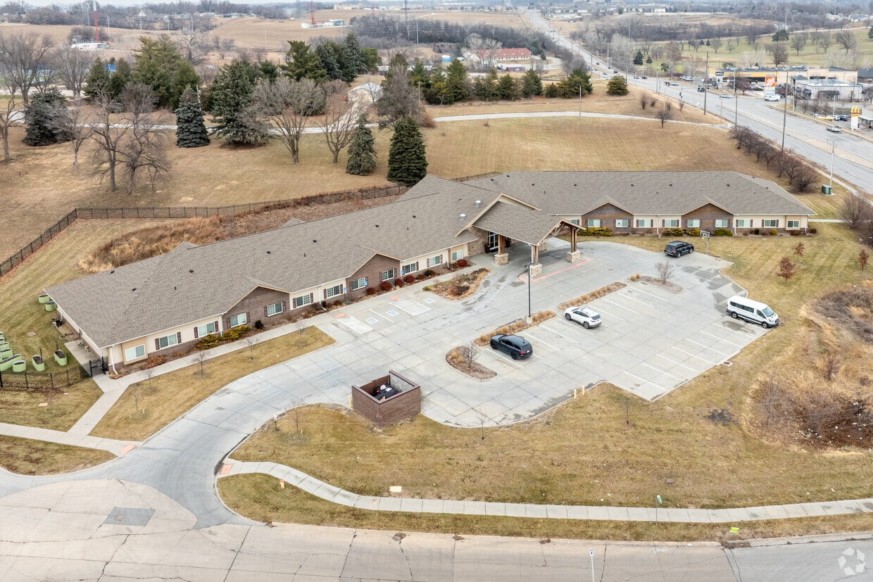
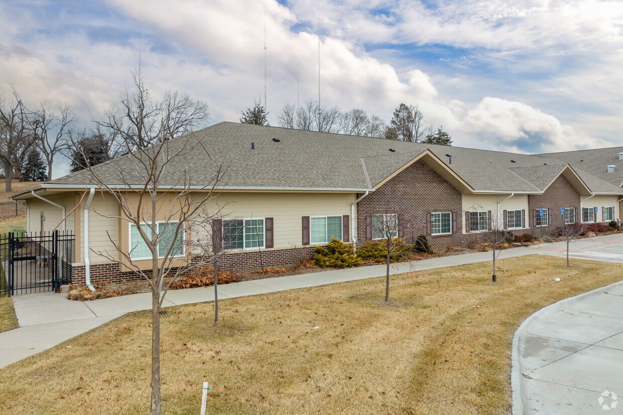
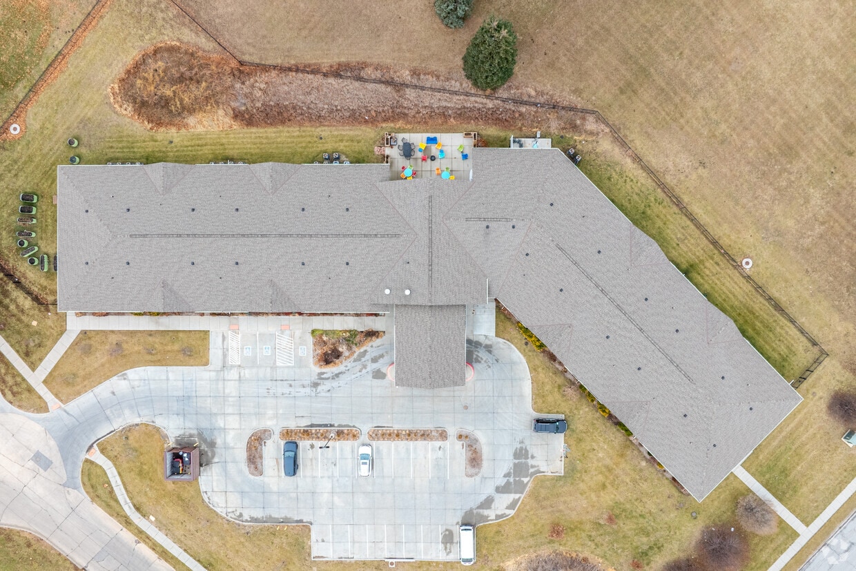
Discover your new home at The Sheltering Tree in Omaha, NE. You'll find this community in the Wynnewood Brookfield area of Omaha. The professional leasing staff is eager for you to come see our property. It's time to find your new home. Contact or stop by The Sheltering Tree to schedule a tour!
The Sheltering Tree is an apartment community located in Douglas County and the 68134 ZIP Code. This area is served by the Omaha Public Schools attendance zone.
Dishwasher
Microwave
Refrigerator
Oven
Omaha has been a Midwest leader since 1854, and the city still carries that same forward-moving energy. Since early American expeditions, Omaha, with its position along the Missouri River, has provided the country with continental railroads and shipping hubs. While times have changed since the 1850s, Omaha still brings this innovative thinking into everyday life.
The Old Market neighborhood draws crowds with its converted warehouse shops, galleries, and restaurants tucked along cobblestone streets, while the Blackstone District has grown into a spot for inventive dining and nightlife. Midtown Crossing surrounds Turner Park, and Aksarben Village connects residents to Stinson Park's trail networks and live concerts. The University of Nebraska at Omaha anchors the Aksarben area, and every summer the city welcomes the College World Series, a tradition that fills Charles Schwab Field with energy.
Learn more about living in Omaha| Colleges & Universities | Distance | ||
|---|---|---|---|
| Colleges & Universities | Distance | ||
| Drive: | 8 min | 4.3 mi | |
| Drive: | 12 min | 4.4 mi | |
| Drive: | 8 min | 4.5 mi | |
| Drive: | 10 min | 4.9 mi |


Scores provided by
Traffic
-Airport
-Businesses
-Scores provided by
HowLoud What is a Sound Score Rating? A Sound Score Rating aggregates noise caused by vehicle traffic, airplane traffic and local sources. How It WorksWhat Are Walk Score®, Transit Score®, and Bike Score® Ratings?
Walk Score® measures the walkability of any address. Transit Score® measures access to public transit. Bike Score® measures the bikeability of any address.
What is a Sound Score Rating?
A Sound Score Rating aggregates noise caused by vehicle traffic, airplane traffic and local sources.

7220 Ames Cir
Omaha, NE 68134


