
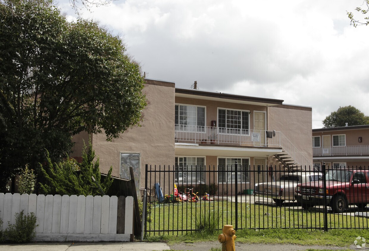
Summerwood
21701 Foothill Blvd,
Hayward, CA 94541
$2,195 - $2,795
1-3 Beds

Find your new apartment at The Pines. In the 94544 area of Hayward on 27673-27677 Leidig Ct., renters have easy connection to a number of points of interest within a few miles. Make sure you to check out the current floorplan options. From amenities to floorplan options, the team of leasing professionals is ready to match you with the perfect place. Stop by to find out the current floorplan availability.
The Pines is an apartment community located in Alameda County and the 94544 ZIP Code. This area is served by the Hayward Unified attendance zone.
Harder-Tennyson is a quaint, Bay Area neighborhood in the city of Hayward. The neighborhood is conveniently located along Interstate 880 and is about 10 minutes from the parks and beaches along the San Francisco Bay, such as the Eden Landing Ecological Reserve. Hayward Executive Airport is just a short drive away, as is Southland Mall and sprawling golf courses. Inside the neighborhood, ranch-style houses and green spaces like Weekes Community Center Park make up the area. While residents can easily travel to world-class restaurants in the Bay Area, the neighborhood has a variety of restaurants situated along Tennyson Road. Harder-Tennyson’s rental market is made up of a variety of low-rise apartments as well as a few condos situated along the eastern side of town.
Learn more about living in Harder-Tennyson| Colleges & Universities | Distance | ||
|---|---|---|---|
| Colleges & Universities | Distance | ||
| Drive: | 7 min | 3.1 mi | |
| Drive: | 9 min | 3.4 mi | |
| Drive: | 16 min | 11.2 mi | |
| Drive: | 24 min | 12.2 mi |


Transportation options available in Hayward include South Hayward Station, located 0.9 mile from The Pines. The Pines is near Metro Oakland International, located 13.0 miles or 19 minutes away, and San Francisco International, located 23.6 miles or 31 minutes away.
| Transit / Subway | Distance | ||
|---|---|---|---|
| Transit / Subway | Distance | ||
|
|
Walk: | 16 min | 0.9 mi |
|
|
Drive: | 8 min | 3.6 mi |
|
|
Drive: | 11 min | 5.0 mi |
|
|
Drive: | 12 min | 6.0 mi |
|
|
Drive: | 12 min | 7.0 mi |
| Commuter Rail | Distance | ||
|---|---|---|---|
| Commuter Rail | Distance | ||
| Drive: | 9 min | 3.6 mi | |
|
|
Drive: | 9 min | 3.6 mi |
| Drive: | 14 min | 8.5 mi | |
| Drive: | 15 min | 8.7 mi | |
| Drive: | 28 min | 18.3 mi |
| Airports | Distance | ||
|---|---|---|---|
| Airports | Distance | ||
|
Metro Oakland International
|
Drive: | 19 min | 13.0 mi |
|
San Francisco International
|
Drive: | 31 min | 23.6 mi |
Time and distance from The Pines.
| Shopping Centers | Distance | ||
|---|---|---|---|
| Shopping Centers | Distance | ||
| Walk: | 6 min | 0.4 mi | |
| Walk: | 7 min | 0.4 mi | |
| Walk: | 8 min | 0.5 mi |
| Parks and Recreation | Distance | ||
|---|---|---|---|
| Parks and Recreation | Distance | ||
|
Garin/Dry Creek Pioneer Parks
|
Drive: | 9 min | 3.9 mi |
|
Sulphur Creek Nature Center
|
Drive: | 12 min | 4.7 mi |
|
Don Castro Regional Recreation Area
|
Drive: | 12 min | 5.6 mi |
|
Hayward Shoreline Interpretive Center
|
Drive: | 11 min | 5.7 mi |
|
Hayward Regional Shoreline
|
Drive: | 17 min | 8.7 mi |
| Hospitals | Distance | ||
|---|---|---|---|
| Hospitals | Distance | ||
| Drive: | 5 min | 1.9 mi | |
| Drive: | 12 min | 7.9 mi | |
| Drive: | 13 min | 9.4 mi |
| Military Bases | Distance | ||
|---|---|---|---|
| Military Bases | Distance | ||
| Drive: | 30 min | 20.5 mi | |
| Drive: | 36 min | 24.7 mi |
What Are Walk Score®, Transit Score®, and Bike Score® Ratings?
Walk Score® measures the walkability of any address. Transit Score® measures access to public transit. Bike Score® measures the bikeability of any address.
What is a Sound Score Rating?
A Sound Score Rating aggregates noise caused by vehicle traffic, airplane traffic and local sources
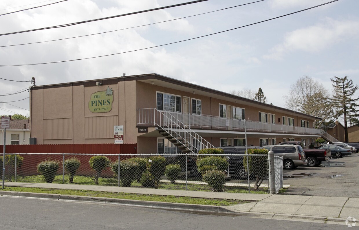
27673-27677 Leidig Ct
Hayward, CA 94544


