
The Yards at Old State
1830 Blue Course Dr,
State College, PA 16801
$904 - $1,655 Total Monthly Price
2-5 Beds 11 Month Lease

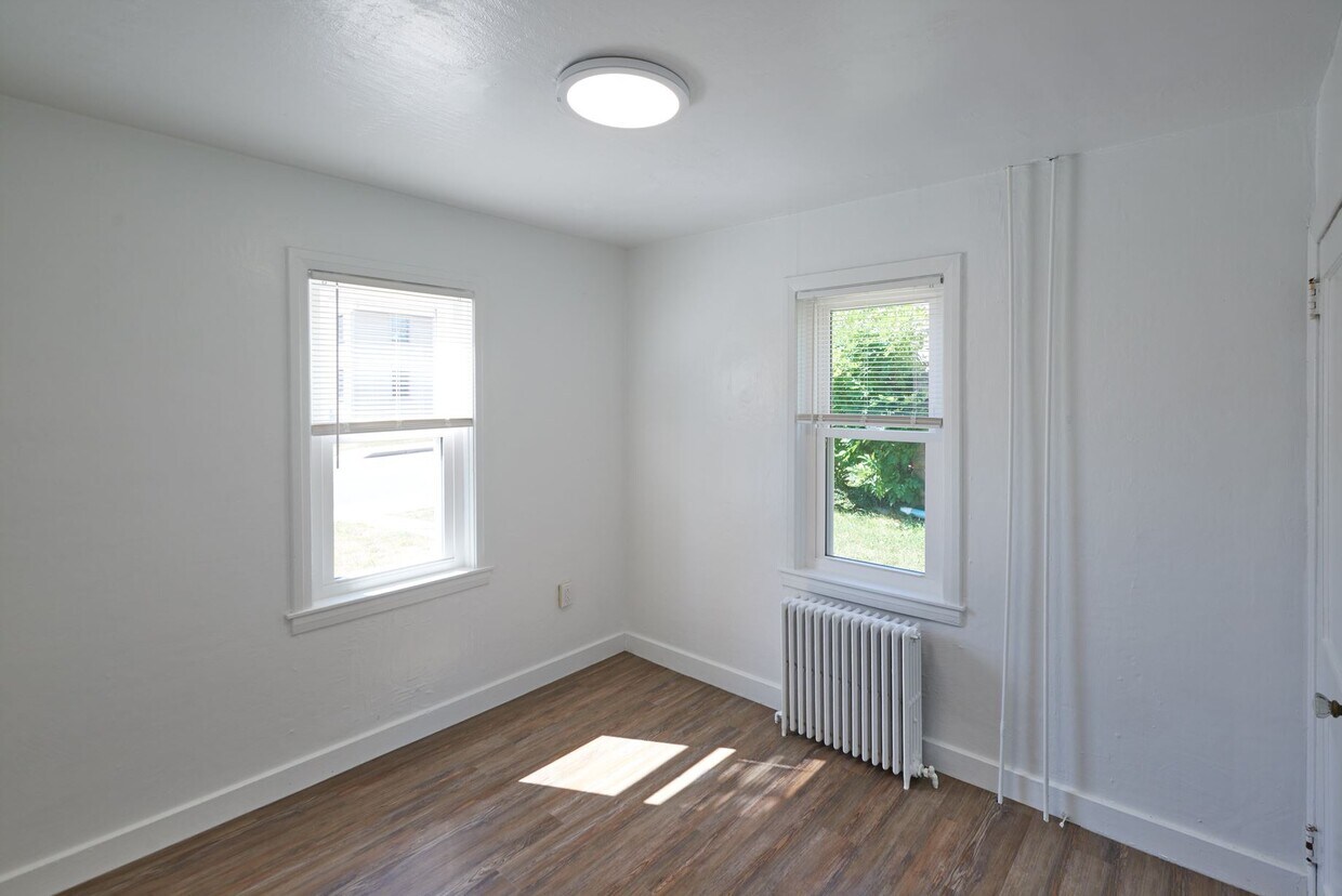
High Street Apartments offer spacious, private, newly renovated, and affordable one and two bedroom apartments located just one block from PSU campus. The kitchens have new cabinetry, countertops, and appliances. These apartments feature beautiful vinyl plank flooring throughout, and a large patio or deck. Each unit features a large living room, heat, water/sewer and 300 MB broadband are all included. Enjoy the convenience of location and State College charm in these newly renovated apartments.
The Pad is an apartment community located in Centre County and the 16801 ZIP Code. This area is served by the State College Area School District attendance zone.
Unique Features
Laundry Facilities
24 Hour Access
Renters Insurance Program
Hearing Impaired Accessible
Air Conditioning
Dishwasher
High Speed Internet Access
Yard
Microwave
Refrigerator
Wi-Fi
Disposal
Welcome to State College, Pennsylvania, affectionately known as "Happy Valley" and home to Pennsylvania State University. This college town combines academic spirit with small-town charm. The downtown area bustles with activity, featuring independent shops and diverse dining options along College and Beaver Avenues. Housing options include apartment communities in the downtown district and rental homes in established neighborhoods like College Heights and Holmes-Foster, where tree-lined streets showcase the area's architectural heritage. Current rental trends show steady growth, with average one-bedroom apartments commanding $1,315 per month, reflecting a 5.5% increase over the past year.
State College offers abundant recreational opportunities and cultural attractions. The Central Pennsylvania Festival of the Arts transforms downtown each July, welcoming more than 125,000 visitors. Outdoor enthusiasts can explore Rothrock State Forest's extensive trail system.
Learn more about living in State CollegeCompare neighborhood and city base rent averages by bedroom.
| Downtown State College | State College, PA | |
|---|---|---|
| Studio | - | $1,239 |
| 1 Bedroom | $1,397 | $1,421 |
| 2 Bedrooms | $2,275 | $1,625 |
| 3 Bedrooms | $3,291 | $1,751 |
| Colleges & Universities | Distance | ||
|---|---|---|---|
| Colleges & Universities | Distance | ||
| Drive: | 4 min | 1.2 mi | |
| Drive: | 52 min | 30.8 mi | |
| Drive: | 50 min | 36.8 mi | |
| Drive: | 58 min | 45.4 mi |


Scores provided by
Traffic
ActiveAirport
CalmBusinesses
CalmScores provided by
HowLoud What is a Sound Score Rating? A Sound Score Rating aggregates noise caused by vehicle traffic, airplane traffic and local sources. How It Works
Pets Allowed Fitness Center Pool Clubhouse Stainless Steel Appliances Business Center Furnished

Pets Allowed In Unit Washer & Dryer Maintenance on site Disposal Walk-Up

Pets Allowed Dishwasher Refrigerator In Unit Washer & Dryer Walk-In Closets Range
What Are Walk Score®, Transit Score®, and Bike Score® Ratings?
Walk Score® measures the walkability of any address. Transit Score® measures access to public transit. Bike Score® measures the bikeability of any address.
What is a Sound Score Rating?
A Sound Score Rating aggregates noise caused by vehicle traffic, airplane traffic and local sources.
132-136 High St
State College, PA 16801


