
Hampton Astoria
22901 Chenal Valley Dr,
Little Rock, AR 72223
1-2 Beds $1,025 - $1,660


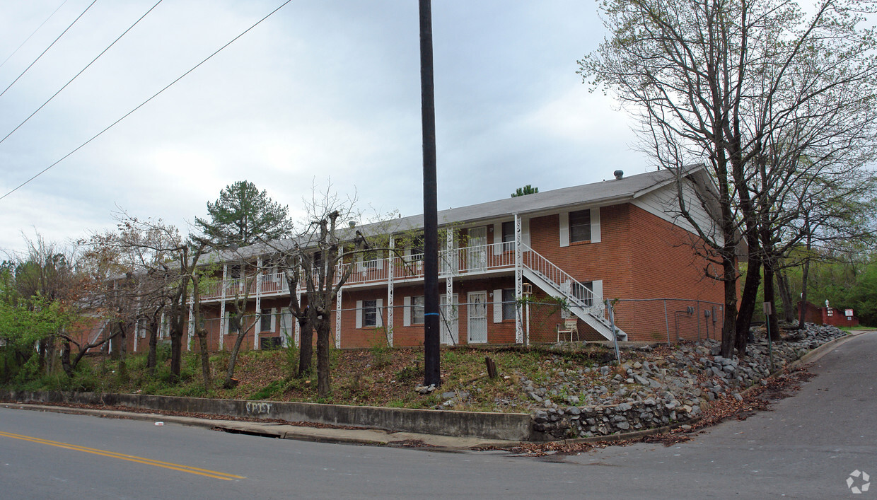
Enjoy Little Rock living at The Aubrey. Located at 3510 S Bryant St in Little Rock, this community has much to offer its residents. The leasing staff is available to help you find your ideal place. Give us a call now to schedule your tour.
The Aubrey is an apartment community located in Pulaski County and the 72204 ZIP Code. This area is served by the Little Rock attendance zone.
Air Conditioning
Washer/Dryer Hookup
High Speed Internet Access
Tub/Shower
Boyle Park is a small affordable neighborhood with a park-like feel. Featuring highly affordable apartments, quaint houses, and student housing options, Boyle Park borders the University of Arkansas at Little Rock. Since Boyle Park is so close to campus and several other hotspots in Little Rock, the neighborhood is a popular choice for students, faculty, staff, and families. Residents enjoy spending time at the neighborhood's amazing namesake park and access to a variety of restaurants and stores found along Colonel Glenn Road and South University Avenue. For even more options, Boyle Park is only five minutes from Park Plaza Mall. The neighborhood is also convenient to the Little Rock Zoo, War Memorial Stadium, and Downtown Little Rock, which are all less than 10 minutes away from Boyle Park.
Learn more about living in Boyle Park| Colleges & Universities | Distance | ||
|---|---|---|---|
| Colleges & Universities | Distance | ||
| Drive: | 4 min | 1.7 mi | |
| Drive: | 9 min | 4.4 mi | |
| Drive: | 9 min | 4.7 mi | |
| Drive: | 20 min | 9.8 mi |

Transportation options available in Little Rock include 2Nd St & Center St, located 5.8 miles from The Aubrey. The Aubrey is near Bill and Hillary Clinton Ntl/Adams Field, located 8.1 miles or 15 minutes away.
| Transit / Subway | Distance | ||
|---|---|---|---|
| Transit / Subway | Distance | ||
| Drive: | 11 min | 5.8 mi | |
| Drive: | 11 min | 5.8 mi | |
| Drive: | 11 min | 6.0 mi | |
| Drive: | 12 min | 6.1 mi | |
| Drive: | 12 min | 6.2 mi |
| Commuter Rail | Distance | ||
|---|---|---|---|
| Commuter Rail | Distance | ||
|
|
Drive: | 11 min | 6.2 mi |
| Airports | Distance | ||
|---|---|---|---|
| Airports | Distance | ||
|
Bill and Hillary Clinton Ntl/Adams Field
|
Drive: | 15 min | 8.1 mi |
Time and distance from The Aubrey.
| Shopping Centers | Distance | ||
|---|---|---|---|
| Shopping Centers | Distance | ||
| Walk: | 10 min | 0.6 mi | |
| Walk: | 11 min | 0.6 mi | |
| Walk: | 13 min | 0.7 mi |
| Parks and Recreation | Distance | ||
|---|---|---|---|
| Parks and Recreation | Distance | ||
|
Little Rock Zoo
|
Drive: | 7 min | 3.4 mi |
|
Central High School National Historic Site
|
Drive: | 8 min | 3.8 mi |
|
Museum of Discovery
|
Drive: | 12 min | 6.2 mi |
|
Central Arkansas Nature Center
|
Drive: | 12 min | 6.3 mi |
|
Little Rock Audubon Center
|
Drive: | 12 min | 6.8 mi |
| Hospitals | Distance | ||
|---|---|---|---|
| Hospitals | Distance | ||
| Drive: | 7 min | 4.0 mi | |
| Drive: | 7 min | 4.2 mi | |
| Drive: | 8 min | 4.6 mi |
| Military Bases | Distance | ||
|---|---|---|---|
| Military Bases | Distance | ||
| Drive: | 38 min | 22.5 mi | |
| Drive: | 38 min | 24.4 mi | |
| Drive: | 43 min | 30.1 mi |
What Are Walk Score®, Transit Score®, and Bike Score® Ratings?
Walk Score® measures the walkability of any address. Transit Score® measures access to public transit. Bike Score® measures the bikeability of any address.
What is a Sound Score Rating?
A Sound Score Rating aggregates noise caused by vehicle traffic, airplane traffic and local sources
3510 S Bryant St
Little Rock, AR 72204


