
Loyola Junction Phase I
6525 Ed Bluestein Blvd,
Austin, TX 78724
$1,305 - $2,097
1-2 Beds
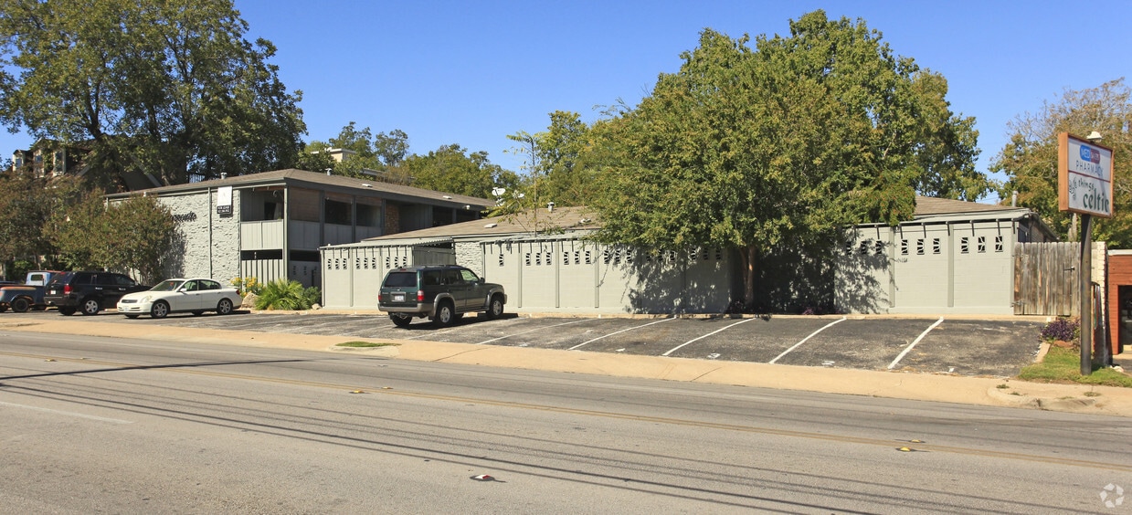
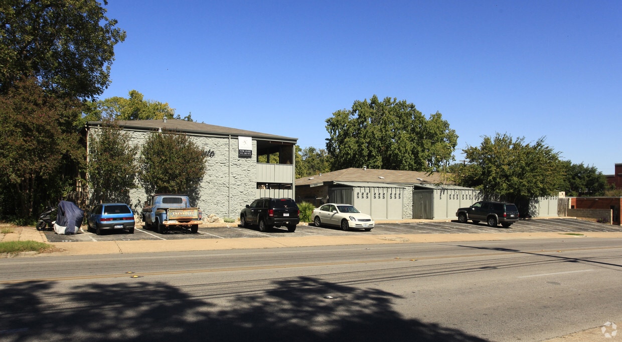
Sorrento Apartments is ready to be your home. The 78703 location in Austin has so much to offer its residents. From pricing to features, the professional leasing team is ready and waiting to help you find your perfect new home. Schedule a time to check out the current floorplan options. It's time to get moving on finding your next place. Contact or stop by Sorrento Apartments to find out current pricing!
Sorrento Apartments is an apartment community located in Travis County and the 78703 ZIP Code. This area is served by the Austin Independent attendance zone.
Air Conditioning
Refrigerator
Disposal
Heating
Situated in the northwestern portion of Central Austin, Rosedale is one of the city’s most desirable neighborhoods. Between the charming bungalows surrounded by mature trees and the exceptionally convenient locale, Rosedale maintains a distinctive allure.
Ramsey Park sits at the center of the neighborhood, offering ample opportunities for outdoor activities with tennis courts, picnic areas, playgrounds, and a swimming pool. While Rosedale is largely residential, it is proximate to a host of eateries, cafes, and shops strewn along Burnet Road as well as the expansive Central Market.
Most Rosedale residents enjoy an easy commute, with convenience to multiple medical centers, the Capitol, the University of Texas at Austin, and Downtown Austin. Quick access to the MoPac Expressway makes getting around from Rosedale simple.
Learn more about living in RosedaleCompare neighborhood and city base rent averages by bedroom.
| Rosedale | Austin, TX | |
|---|---|---|
| Studio | $1,331 | $1,202 |
| 1 Bedroom | $1,659 | $1,378 |
| 2 Bedrooms | $2,133 | $1,794 |
| 3 Bedrooms | $3,131 | $2,389 |
| Colleges & Universities | Distance | ||
|---|---|---|---|
| Colleges & Universities | Distance | ||
| Drive: | 7 min | 2.9 mi | |
| Drive: | 6 min | 3.7 mi | |
| Drive: | 12 min | 5.3 mi | |
| Drive: | 14 min | 8.0 mi |


Transportation options available in Austin include Highland Station, located 3.4 miles from Sorrento Apartments. Sorrento Apartments is near Austin-Bergstrom International, located 14.0 miles or 28 minutes away.
| Transit / Subway | Distance | ||
|---|---|---|---|
| Transit / Subway | Distance | ||
| Drive: | 8 min | 3.4 mi | |
| Drive: | 9 min | 3.7 mi | |
| Drive: | 10 min | 4.2 mi | |
| Drive: | 9 min | 5.1 mi | |
| Drive: | 10 min | 5.1 mi |
| Commuter Rail | Distance | ||
|---|---|---|---|
| Commuter Rail | Distance | ||
|
|
Drive: | 7 min | 4.2 mi |
|
|
Drive: | 42 min | 34.9 mi |
|
|
Drive: | 44 min | 35.3 mi |
| Airports | Distance | ||
|---|---|---|---|
| Airports | Distance | ||
|
Austin-Bergstrom International
|
Drive: | 28 min | 14.0 mi |
Time and distance from Sorrento Apartments.
| Shopping Centers | Distance | ||
|---|---|---|---|
| Shopping Centers | Distance | ||
| Walk: | 5 min | 0.3 mi | |
| Walk: | 5 min | 0.3 mi | |
| Walk: | 7 min | 0.4 mi |
| Parks and Recreation | Distance | ||
|---|---|---|---|
| Parks and Recreation | Distance | ||
|
Mayfield Park and Preserve
|
Drive: | 3 min | 1.3 mi |
|
Shoal Creek Greenbelt Park
|
Drive: | 4 min | 1.7 mi |
|
Elisabet Ney Museum
|
Drive: | 5 min | 2.3 mi |
|
Texas Memorial Museum
|
Drive: | 7 min | 2.8 mi |
|
Red Bud Isle
|
Drive: | 9 min | 4.6 mi |
| Hospitals | Distance | ||
|---|---|---|---|
| Hospitals | Distance | ||
| Walk: | 6 min | 0.3 mi | |
| Walk: | 10 min | 0.6 mi | |
| Drive: | 3 min | 1.5 mi |
| Military Bases | Distance | ||
|---|---|---|---|
| Military Bases | Distance | ||
| Drive: | 87 min | 69.9 mi | |
| Drive: | 90 min | 72.6 mi |
What Are Walk Score®, Transit Score®, and Bike Score® Ratings?
Walk Score® measures the walkability of any address. Transit Score® measures access to public transit. Bike Score® measures the bikeability of any address.
What is a Sound Score Rating?
A Sound Score Rating aggregates noise caused by vehicle traffic, airplane traffic and local sources

1808 W 35th St
Austin, TX 78703


