
Current At The Banks
121 E Freedom Way,
Cincinnati, OH 45202
$1,118 - $3,699
Studio - 2 Beds
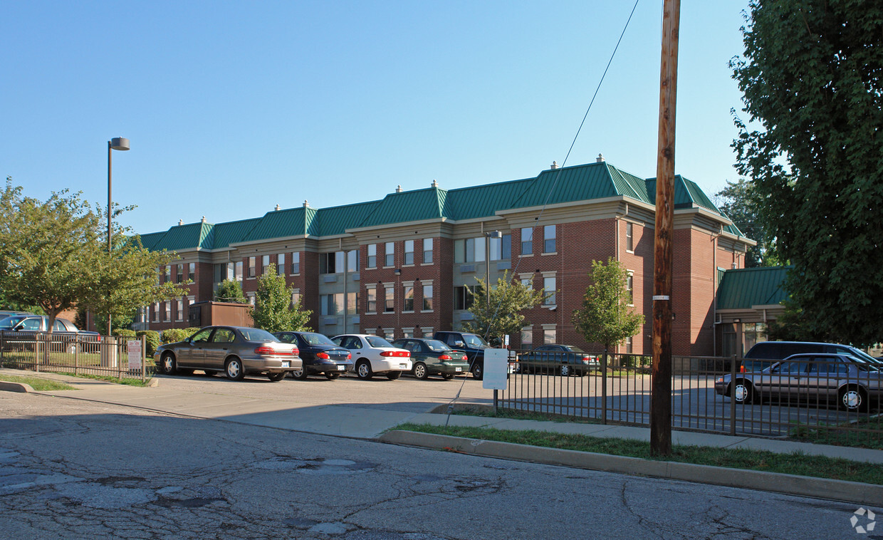

At Saratoga Place Apartments in Newport, find your new home. The location of this community is in the 41071 area of Newport. Make a visit to see the available floorplan options. From pricing to features, the professional leasing team is excited to help you find your perfect floorplan option. Welcome to your new home at Saratoga Place Apartments. Contact or drop by to schedule your tour.
Saratoga Place Apartments is an apartment community located in Campbell County and the 41071 ZIP Code. This area is served by the Newport Independent School District attendance zone.
Laundry Facilities
24 Hour Access
Maintenance on site
Planned Social Activities
Air Conditioning
High Speed Internet Access
Smoke Free
Heating
Sitting at the spot where the Ohio and Licking rivers meet, Newport, Kentucky puts you right across the water from Downtown Cincinnati without the big-city price tag. That riverfront position shapes just about everything here, from sweeping skyline views to a lively entertainment scene anchored by the Newport Aquarium and the Newport on the Levee complex. The city is part of the greater Cincinnati metropolitan area, which means residents have access to a major economic and cultural hub while still enjoying the distinct character of a smaller Kentucky community.
Newport's East Row Historic District is one of the area's most recognizable pockets, featuring beautifully preserved 19th-century architecture and a walkable stretch of local shops and eateries. The city carries deep historical roots as well: it was named not for its riverside location, but for Christopher Newport, captain of the first ship to reach Jamestown, Virginia, in 1607.
Learn more about living in Newport| Colleges & Universities | Distance | ||
|---|---|---|---|
| Colleges & Universities | Distance | ||
| Drive: | 10 min | 4.7 mi | |
| Drive: | 11 min | 4.8 mi | |
| Drive: | 11 min | 6.3 mi | |
| Drive: | 13 min | 6.3 mi |


Transportation options available in Newport include 247 Telemarketing Station - 4Th & Main, located 1.6 miles from Saratoga Place Apartments. Saratoga Place Apartments is near Cincinnati/Northern Kentucky International, located 14.1 miles or 30 minutes away.
| Transit / Subway | Distance | ||
|---|---|---|---|
| Transit / Subway | Distance | ||
| Drive: | 4 min | 1.6 mi | |
| Drive: | 5 min | 1.7 mi | |
| Drive: | 5 min | 1.8 mi | |
| Drive: | 5 min | 1.9 mi | |
| Drive: | 6 min | 1.9 mi |
| Commuter Rail | Distance | ||
|---|---|---|---|
| Commuter Rail | Distance | ||
|
|
Drive: | 10 min | 3.5 mi |
| Airports | Distance | ||
|---|---|---|---|
| Airports | Distance | ||
|
Cincinnati/Northern Kentucky International
|
Drive: | 30 min | 14.1 mi |
Scores provided by
Traffic
-Airport
-Businesses
-Scores provided by
HowLoud What is a Sound Score Rating? A Sound Score Rating aggregates noise caused by vehicle traffic, airplane traffic and local sources. How It WorksTime and distance from Saratoga Place Apartments.
| Shopping Centers | Distance | ||
|---|---|---|---|
| Shopping Centers | Distance | ||
| Walk: | 10 min | 0.5 mi | |
| Walk: | 13 min | 0.7 mi | |
| Walk: | 18 min | 0.9 mi |
| Parks and Recreation | Distance | ||
|---|---|---|---|
| Parks and Recreation | Distance | ||
|
Newport Aquarium
|
Walk: | 11 min | 0.6 mi |
|
John G. & Phyllis W. Smale Riverfront Park
|
Drive: | 5 min | 2.0 mi |
|
Theodore M. Berry Friendship Park
|
Drive: | 5 min | 2.0 mi |
|
Krohn Conservatory
|
Drive: | 7 min | 2.9 mi |
|
Eden Park
|
Drive: | 7 min | 3.1 mi |
| Hospitals | Distance | ||
|---|---|---|---|
| Hospitals | Distance | ||
| Drive: | 5 min | 2.0 mi | |
| Drive: | 8 min | 3.9 mi | |
| Drive: | 9 min | 4.5 mi |
| Military Bases | Distance | ||
|---|---|---|---|
| Military Bases | Distance | ||
| Drive: | 77 min | 55.4 mi | |
| Drive: | 83 min | 60.5 mi | |
| Drive: | 86 min | 63.8 mi |
What Are Walk Score®, Transit Score®, and Bike Score® Ratings?
Walk Score® measures the walkability of any address. Transit Score® measures access to public transit. Bike Score® measures the bikeability of any address.
What is a Sound Score Rating?
A Sound Score Rating aggregates noise caused by vehicle traffic, airplane traffic and local sources.

798 Saratoga St
Newport, KY 41071


