
Metro Rahway
1420 Campbell St,
Rahway, NJ 07065
Studio - 2 Beds $2,440 - $3,400
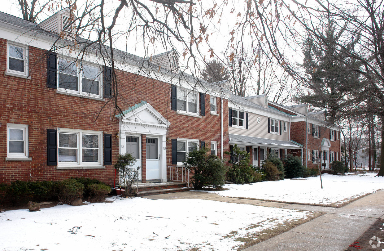
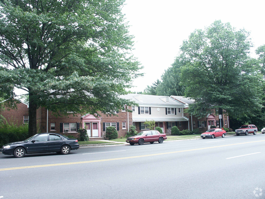
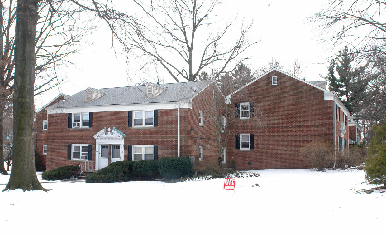

Find your new apartment at Sandee Apartments. The 713-731 Saint Georges Ave location in the 7065 neighborhood of Rahway is convenient to everything. The professional leasing team is ready to help you find your dream apartment. Contact us or stop by today.
Sandee Apartments is an apartment community located in Union County and the 07065 ZIP Code. This area is served by the Rahway Public attendance zone.
| Colleges & Universities | Distance | ||
|---|---|---|---|
| Colleges & Universities | Distance | ||
| Drive: | 16 min | 6.7 mi | |
| Drive: | 15 min | 7.2 mi | |
| Drive: | 18 min | 8.7 mi | |
| Drive: | 17 min | 10.1 mi |


Transportation options available in Rahway include 8Th Street Light Rail Station, located 12.5 miles from Sandee Apartments. Sandee Apartments is near Newark Liberty International, located 15.6 miles or 22 minutes away, and LaGuardia, located 33.9 miles or 55 minutes away.
| Transit / Subway | Distance | ||
|---|---|---|---|
| Transit / Subway | Distance | ||
| Drive: | 22 min | 12.5 mi | |
|
|
Drive: | 24 min | 13.7 mi |
| Commuter Rail | Distance | ||
|---|---|---|---|
| Commuter Rail | Distance | ||
|
|
Walk: | 16 min | 0.9 mi |
|
|
Drive: | 6 min | 2.4 mi |
|
|
Drive: | 8 min | 3.3 mi |
|
|
Drive: | 6 min | 3.5 mi |
|
|
Drive: | 8 min | 3.9 mi |
| Airports | Distance | ||
|---|---|---|---|
| Airports | Distance | ||
|
Newark Liberty International
|
Drive: | 22 min | 15.6 mi |
|
LaGuardia
|
Drive: | 55 min | 33.9 mi |
Time and distance from Sandee Apartments.
| Shopping Centers | Distance | ||
|---|---|---|---|
| Shopping Centers | Distance | ||
| Walk: | 9 min | 0.5 mi | |
| Walk: | 15 min | 0.8 mi | |
| Walk: | 18 min | 1.0 mi |
| Parks and Recreation | Distance | ||
|---|---|---|---|
| Parks and Recreation | Distance | ||
|
Merrill Park
|
Drive: | 6 min | 2.4 mi |
|
Hawk Rise Sanctuary
|
Drive: | 8 min | 3.0 mi |
|
Liberty State Park
|
Drive: | 9 min | 3.7 mi |
|
Edison Park
|
Drive: | 8 min | 4.2 mi |
|
William Warren Park
|
Drive: | 10 min | 5.1 mi |
| Hospitals | Distance | ||
|---|---|---|---|
| Hospitals | Distance | ||
| Walk: | 16 min | 0.9 mi | |
| Drive: | 9 min | 4.9 mi | |
| Drive: | 14 min | 6.9 mi |
| Military Bases | Distance | ||
|---|---|---|---|
| Military Bases | Distance | ||
| Drive: | 9 min | 3.6 mi | |
| Drive: | 13 min | 5.0 mi | |
| Drive: | 29 min | 15.5 mi |
What Are Walk Score®, Transit Score®, and Bike Score® Ratings?
Walk Score® measures the walkability of any address. Transit Score® measures access to public transit. Bike Score® measures the bikeability of any address.
What is a Sound Score Rating?
A Sound Score Rating aggregates noise caused by vehicle traffic, airplane traffic and local sources


