
The District
433 N Main St,
West Bend, WI 53090
$1,305 - $2,895
1-3 Beds
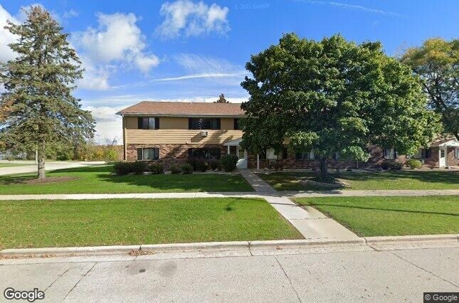
Meet a new place to live at Rivercrest in West Bend, WI. The address for this community is on S. River Rd. in West Bend. Be sure to come for a visit to see the current floorplan options. The professional community team is waiting to show you all that this community has to offer. It's time to love where you live. Stop by for a visit today.
Rivercrest is an apartment community located in Washington County and the 53095 ZIP Code. This area is served by the West Bend School District attendance zone.
Refrigerator
Tub/Shower
Heating
Oven
Located about 30 miles northwest of Milwaukee, West Bend combines big-city amenities with small-town charm in one of Wisconsin’s most scenic environments, the Kettle Moraine. Known as the Geocaching Capital of the Midwest, West Bend is a favorite destination for treasure hunters with more than 450 caches within a seven-mile radius.
Access to over 1200 acres of parks, the Milwaukee River, and numerous nearby lakes makes West Bend a haven for outdoor recreation. West Bend’s historic downtown area stretches along Main Street with an abundance of locally owned shops, restaurants, offices, and venues in charming, old-fashioned buildings. Regular events in Downtown West Bend bring the community together, including the famous weekly farmers market, Music on Main, Fall Fest, and the West Bend Bike Race.
Learn more about living in West Bend| Colleges & Universities | Distance | ||
|---|---|---|---|
| Colleges & Universities | Distance | ||
| Drive: | 31 min | 18.8 mi | |
| Drive: | 34 min | 22.1 mi | |
| Drive: | 43 min | 29.7 mi | |
| Drive: | 49 min | 30.9 mi |


Scores provided by
Traffic
-Airport
-Businesses
-Scores provided by
HowLoud What is a Sound Score Rating? A Sound Score Rating aggregates noise caused by vehicle traffic, airplane traffic and local sources. How It WorksWhat Are Walk Score®, Transit Score®, and Bike Score® Ratings?
Walk Score® measures the walkability of any address. Transit Score® measures access to public transit. Bike Score® measures the bikeability of any address.
What is a Sound Score Rating?
A Sound Score Rating aggregates noise caused by vehicle traffic, airplane traffic and local sources.

625 S River Rd
West Bend, WI 53095


