
Addison Row
4800 Addison Rd,
Capitol Heights, MD 20743
$1,849 - $5,747 Total Monthly Price
1-3 Beds
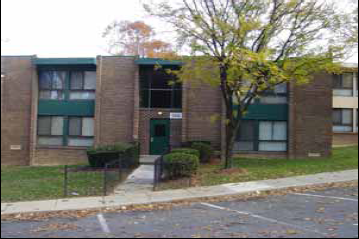
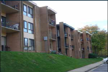
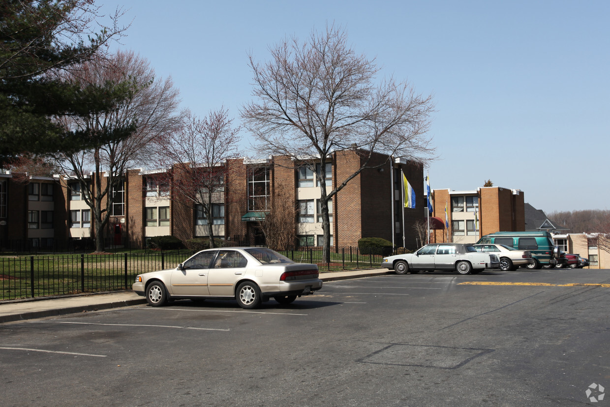
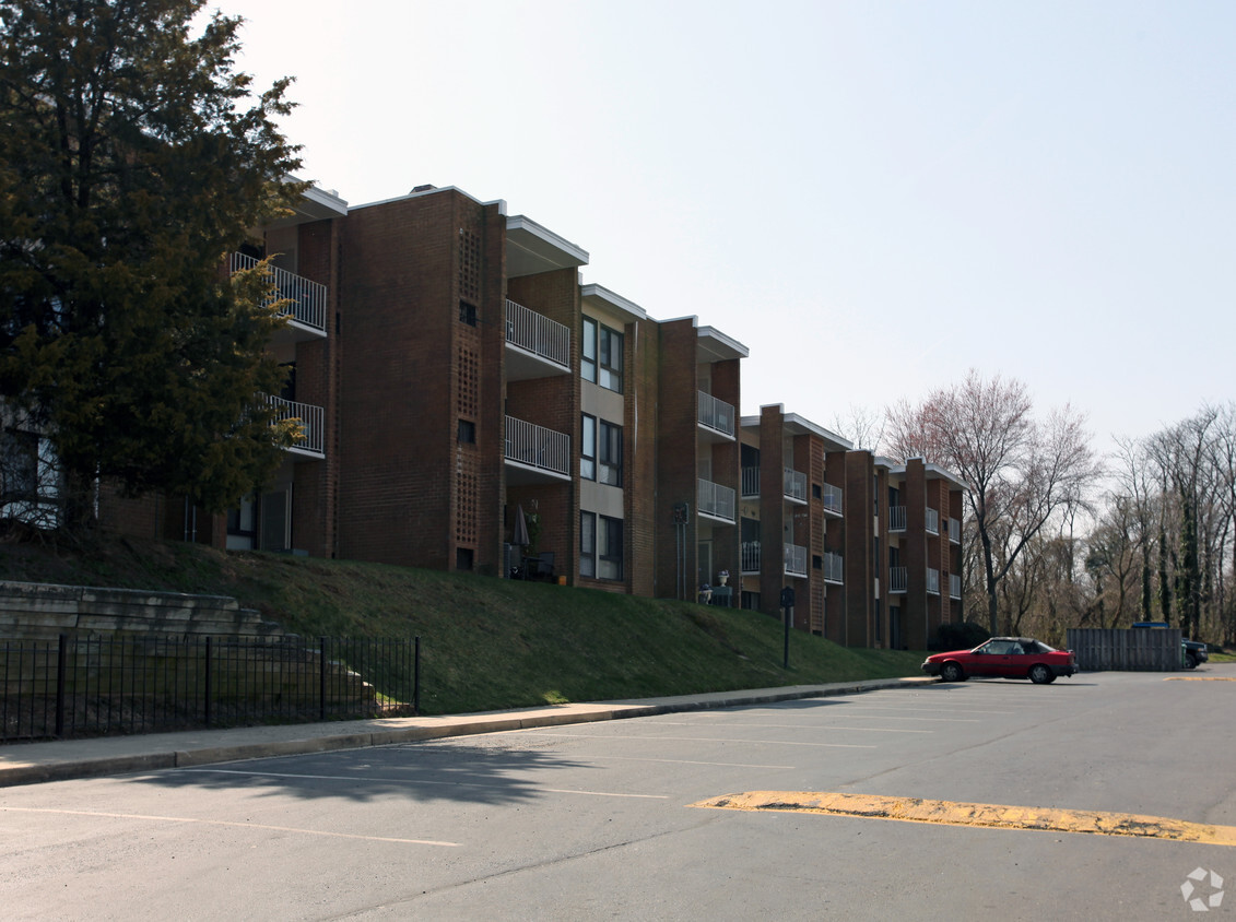
Find a new place to live at Regency Lane in Capitol Heights, MD. The location of this community is at 6806-6868 Walker Mill Rd. in the 20743 area of Capitol Heights. You'll experience a great selection of amenities at this community including convenient on-site parking options, smoke free options, and high-speed internet access. The community staff is ready and waiting to show you our community. It's time to love where you live. Stop by for a visit today.
Regency Lane is an apartment community located in Prince George's County and the 20743 ZIP Code. This area is served by the Prince George's County Public Schools attendance zone.
Dishwasher
High Speed Internet Access
Refrigerator
Smoke Free
Walker Mill, a suburban neighborhood located in Capitol Hills, Maryland, is a culturally diverse area. As you walk down its streets, the charming row houses on both sides of its wide streets stand out. There are more affordable low-lying apartments for rent as well. Bordered by Coral Hills to the west, District Heights to the south, Pepper Mill Village to the north, and Largo to the east, Walker Mills proximity to Downtown DC makes it a convenient neighborhood to raise a family. The area itself is less dense than the communities to the northwest, making it perfect for renters who want a little more peace and quiet while still being close to Capitol Hill.
Learn more about living in Walker MillCompare neighborhood and city base rent averages by bedroom.
| Walker Mill | Capitol Heights, MD | |
|---|---|---|
| Studio | $1,061 | $1,288 |
| 1 Bedroom | $1,394 | $1,539 |
| 2 Bedrooms | $2,327 | $1,692 |
| 3 Bedrooms | $2,082 | $2,008 |
| Colleges & Universities | Distance | ||
|---|---|---|---|
| Colleges & Universities | Distance | ||
| Drive: | 11 min | 5.3 mi | |
| Drive: | 12 min | 6.0 mi | |
| Drive: | 15 min | 7.6 mi | |
| Drive: | 16 min | 8.5 mi |


Transportation options available in Capitol Heights include Addison Road-Seat Pleasant, located 1.8 miles from Regency Lane. Regency Lane is near Ronald Reagan Washington Ntl, located 12.7 miles or 24 minutes away, and Baltimore/Washington International Thurgood Marshall, located 30.9 miles or 46 minutes away.
| Transit / Subway | Distance | ||
|---|---|---|---|
| Transit / Subway | Distance | ||
|
|
Drive: | 3 min | 1.8 mi |
|
Capitol Heights, Blue/Silver Line Center Platform
|
Drive: | 5 min | 2.5 mi |
|
|
Drive: | 8 min | 3.3 mi |
|
|
Drive: | 9 min | 3.4 mi |
|
|
Drive: | 8 min | 4.0 mi |
| Commuter Rail | Distance | ||
|---|---|---|---|
| Commuter Rail | Distance | ||
|
|
Drive: | 14 min | 7.8 mi |
|
|
Drive: | 15 min | 8.0 mi |
| Drive: | 17 min | 8.6 mi | |
| Drive: | 17 min | 10.0 mi | |
|
|
Drive: | 17 min | 10.0 mi |
| Airports | Distance | ||
|---|---|---|---|
| Airports | Distance | ||
|
Ronald Reagan Washington Ntl
|
Drive: | 24 min | 12.7 mi |
|
Baltimore/Washington International Thurgood Marshall
|
Drive: | 46 min | 30.9 mi |
Scores provided by
Traffic
ActiveAirport
ActiveBusinesses
ActiveScores provided by
HowLoud What is a Sound Score Rating? A Sound Score Rating aggregates noise caused by vehicle traffic, airplane traffic and local sources. How It WorksTime and distance from Regency Lane.
| Shopping Centers | Distance | ||
|---|---|---|---|
| Shopping Centers | Distance | ||
| Walk: | 5 min | 0.3 mi | |
| Walk: | 14 min | 0.7 mi | |
| Drive: | 3 min | 1.5 mi |
| Parks and Recreation | Distance | ||
|---|---|---|---|
| Parks and Recreation | Distance | ||
|
Walker Mill Regional Park
|
Drive: | 2 min | 1.3 mi |
|
Suitland Bog
|
Drive: | 8 min | 3.7 mi |
|
Fort Dupont Park
|
Drive: | 10 min | 4.8 mi |
|
Kingman and Heritage Island Park
|
Drive: | 11 min | 5.8 mi |
|
Oxon Cove Park
|
Drive: | 12 min | 5.8 mi |
| Hospitals | Distance | ||
|---|---|---|---|
| Hospitals | Distance | ||
| Drive: | 12 min | 6.0 mi | |
| Drive: | 14 min | 6.7 mi | |
| Drive: | 15 min | 7.4 mi |
| Military Bases | Distance | ||
|---|---|---|---|
| Military Bases | Distance | ||
| Drive: | 12 min | 5.7 mi | |
| Drive: | 15 min | 7.5 mi |
Pets Allowed Fitness Center Pool Dishwasher Refrigerator Kitchen

Pets Allowed Fitness Center In Unit Washer & Dryer Balcony Courtyard Concierge EV Charging
What Are Walk Score®, Transit Score®, and Bike Score® Ratings?
Walk Score® measures the walkability of any address. Transit Score® measures access to public transit. Bike Score® measures the bikeability of any address.
What is a Sound Score Rating?
A Sound Score Rating aggregates noise caused by vehicle traffic, airplane traffic and local sources.

6806-6868 Walker Mill Rd
Capitol Heights, MD 20743


