
255 North
255 N Granada Ave,
Tucson, AZ 85701
$1,399 - $3,040
1-3 Beds

ALL UTILITIES INCLUDED REMODELED STUDIO, CLOSE TO THE VA HOSPITAL, SHOPPING AND BUS ROUTES, TILE FLOORING THROUGHOUT HOME, LAUNDRY ON SITE, OFF STREET PARKING STUDIO 1 BATHROOM $350.00 DEPOSIT $750.00 RENT AVAILABLE FOR MOVE IN IMMEDIATELY PETS OK UPON APPROVAL PLEASE CALL: VERONICA , MARNI , JAMES WEBSITE :
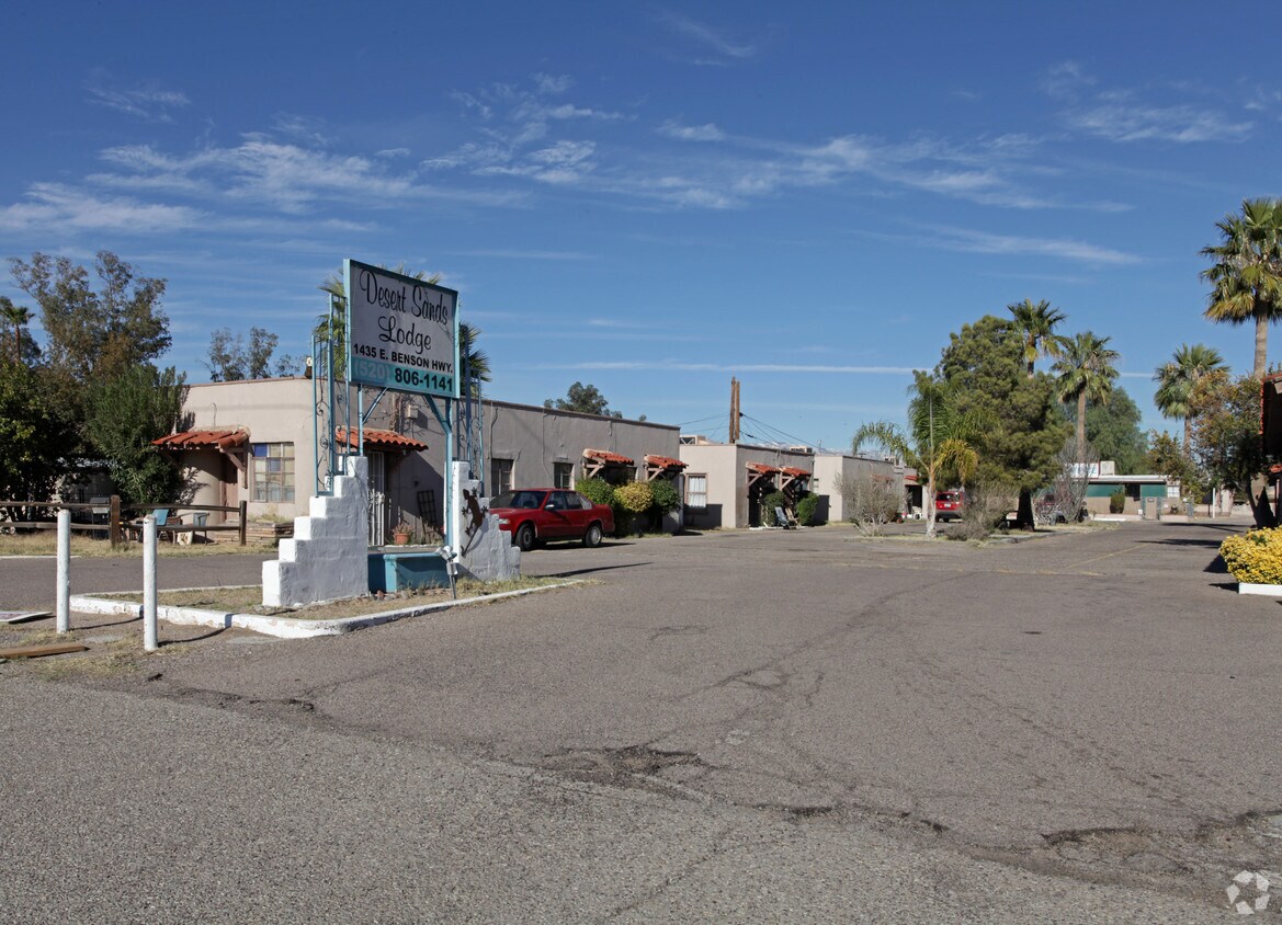
PM354 - 1435 East Benson Highway is an apartment community located in Pima County and the 85714 ZIP Code. This area is served by the Tucson Unified District attendance zone.
Ward 5 is a sprawling community spanning south of Downtown Tucson around the Interstate 19 and 10 intersection. Thanks to the interstates and the Tucson International Airport, which is located just south of Ward 5, travel near and far is accessible. Ward 5 holds some of Tucson’s best amenities, like the Tucson VA Medical Center and the Banner-University Medical Center South. The community is also known for its shopping destinations, such as the Marketplace at the Bridges, as well as community parks like the Kino Sports Complex and Santa Cruz River Park. The rest of Ward 5 remains residential with affordable, low-rise apartments for rent.
Learn more about living in Ward 5| Colleges & Universities | Distance | ||
|---|---|---|---|
| Colleges & Universities | Distance | ||
| Drive: | 11 min | 4.9 mi | |
| Drive: | 12 min | 5.1 mi | |
| Drive: | 9 min | 5.2 mi | |
| Drive: | 10 min | 6.1 mi |


Transportation options available in Tucson include Sl/Cushing/Frontage Rd, located 4.8 miles from PM354 - 1435 East Benson Highway. PM354 - 1435 East Benson Highway is near Tucson International, located 4.6 miles or 10 minutes away.
| Transit / Subway | Distance | ||
|---|---|---|---|
| Transit / Subway | Distance | ||
| Drive: | 7 min | 4.8 mi | |
| Drive: | 7 min | 4.9 mi | |
| Drive: | 7 min | 4.9 mi | |
| Drive: | 8 min | 5.1 mi | |
| Drive: | 8 min | 5.3 mi |
| Commuter Rail | Distance | ||
|---|---|---|---|
| Commuter Rail | Distance | ||
|
|
Drive: | 8 min | 5.4 mi |
| Airports | Distance | ||
|---|---|---|---|
| Airports | Distance | ||
|
Tucson International
|
Drive: | 10 min | 4.6 mi |
Time and distance from PM354 - 1435 East Benson Highway.
| Shopping Centers | Distance | ||
|---|---|---|---|
| Shopping Centers | Distance | ||
| Walk: | 6 min | 0.3 mi | |
| Walk: | 18 min | 1.0 mi | |
| Drive: | 3 min | 1.2 mi |
| Parks and Recreation | Distance | ||
|---|---|---|---|
| Parks and Recreation | Distance | ||
|
Sunnyside Park
|
Drive: | 5 min | 2.5 mi |
|
Santa Rita Park
|
Drive: | 6 min | 2.9 mi |
|
Mission Manor Park
|
Drive: | 8 min | 4.1 mi |
|
Augie Acuna Los Ninos Park
|
Drive: | 10 min | 4.4 mi |
|
Reid Park Zoo
|
Drive: | 10 min | 4.9 mi |
| Hospitals | Distance | ||
|---|---|---|---|
| Hospitals | Distance | ||
| Drive: | 3 min | 1.5 mi | |
| Drive: | 11 min | 5.3 mi | |
| Drive: | 10 min | 6.1 mi |
| Military Bases | Distance | ||
|---|---|---|---|
| Military Bases | Distance | ||
| Drive: | 10 min | 4.0 mi | |
| Drive: | 16 min | 11.4 mi | |
| Drive: | 82 min | 71.1 mi |
What Are Walk Score®, Transit Score®, and Bike Score® Ratings?
Walk Score® measures the walkability of any address. Transit Score® measures access to public transit. Bike Score® measures the bikeability of any address.
What is a Sound Score Rating?
A Sound Score Rating aggregates noise caused by vehicle traffic, airplane traffic and local sources
1435 E Benson Hwy
Tucson, AZ 85714


