Peartree

120 Peartree Ln, Crittenden, KY 41030

2 Weeks Ago
Share Listing
Favorites
Peartree
Share Listing
Favorites

About Peartree

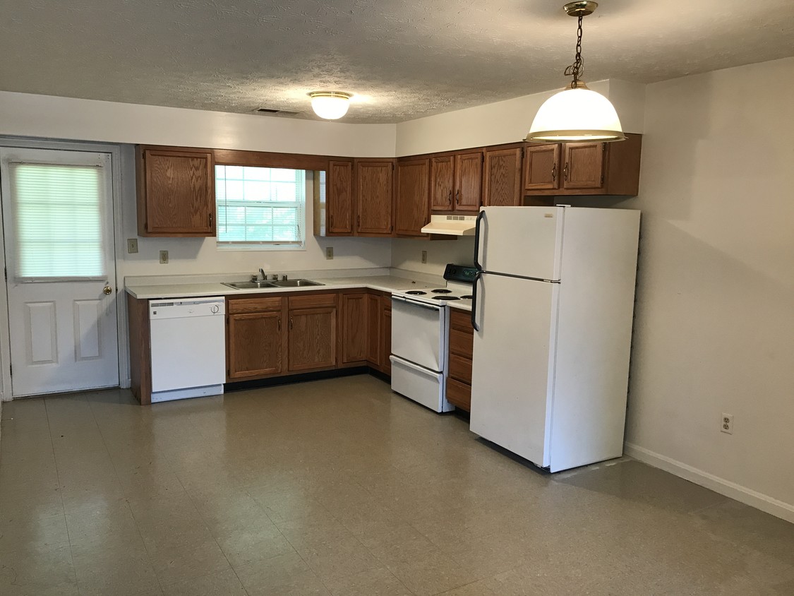
Peartree offers a combination of comfort, quality and design. The location of this community is on Peartree Ln. in the 41030 area of Crittenden. Come for a visit to check out the apartment floorplan options. From location to floorplan options, the professional leasing staff is available to assist you in finding your new home. Make your move to Peartree. Stop by the leasing office to check the current floorplan availability.

Peartree is an apartment community located in Grant County and the 41030 ZIP Code. This area is served by the Grant County attendance zone.

Community Amenities

  • Walk-Up
Location
120 Peartree Ln, Crittenden,
KY 41030
Get Directions
Education
Colleges & Universities Distance
Drive: 27 min 21.7 mi
Drive: 36 min 28.5 mi
Drive: 40 min 31.3 mi
Drive: 48 min 34.4 mi
Peartree is within 27 minutes or 21.7 miles from Thomas More College. It is also near College of Mount St. Joseph and Northern Kentucky University.
Schools
Public Elementary School
Grades K-5
536 Students
Nearby
Public Elementary School
Grades PK-5
433 Students
Attendance Zone
Public Middle School
Grades 6-8
684 Students
Attendance Zone
Public High School
Grades 9-12
970 Students
Attendance Zone
Private Elementary, Middle & High School
Grades K-12
243 Students
Nearby
Private Elementary & Middle School
Grades PK-8
158 Students
Nearby
Transportation

Peartree is near Cincinnati/Northern Kentucky International, located 20.9 miles or 32 minutes away.

Commuter Rail Distance
Drive: 37 min 28.3 mi
Airports Distance
Airports Distance
Cincinnati/Northern Kentucky International
Drive: 32 min 20.9 mi

Walkability Near Peartree

Getting Around
Somewhat Walkable
Walkability
30 / 100
Exceptionally Drivable
Drivability
100 / 100
Somewhat Bikeable
Bikeability
20 / 100

Scores provided by

What do Walkability, Transit, Drivability, and Bikeability mean? Walkability measures the walking distance to day-to-day needs. Transit measures access to public transportation. Drivability measures congestion, parking availability, and access to major roads. Bikeability measures the suitability for cycling. How It Works
-
Soundscore
- / 100

Traffic

-

Airport

-

Businesses

-

Scores provided by

HowLoud What is a Sound Score Rating? A Sound Score Rating aggregates noise caused by vehicle traffic, airplane traffic and local sources. How It Works
Points of Interest

Time and distance from Peartree.

Shopping Centers Distance
Walk: 15 min 0.8 mi
Drive: 9 min 6.5 mi
Drive: 11 min 8.4 mi
Peartree has 3 shopping centers within 8.4 miles, which is about a 11-minute drive. The miles and minutes will be for the farthest away property.
Hospitals Distance
Hospitals Distance
Drive: 14 min 11.4 mi
Peartree is 11.4 miles and a 14 minute drive from St. Elizabeth Grant Hospital.
Military Bases Distance
Drive: 103 min 81.8 mi
Drive: 109 min 86.8 mi
Peartree is 81.8 miles from Gentile Air Force Station, and is convenient to other military bases, including Wright-Patterson Air Force Base.

Explore Similar Rentals Nearby