
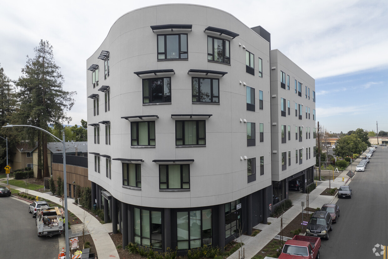
Duo Apartments
6670 Emergent Way,
San Jose, CA 95119
$3,213 - $5,905
Studio - 3 Beds

Units are reserved for Transitional Age Youth (TAY), Preference to Seniors 62+ or Families that include at least one household member age 62+. Street parking only.
Mesa Terrace is an apartment community located in Santa Clara County and the 95101 ZIP Code. This area is served by the San Jose Unified School District attendance zone.
Laundry Facilities
Elevator
Clubhouse
Grill
Air Conditioning
Dishwasher
High Speed Internet Access
Refrigerator
Rent your apartment in Cambrian and enjoy the sophisticated yet laid-back feel of this San Jose neighborhood. Use surface streets to reach bordering Los Gatos or San Jose's vibrant downtown, a mere 10 miles away. An additional two miles brings you to the Mineta San Jose International Airport. An hour's drive north leads you to San Francisco.
Join your neighbors on hikes or bike rides at the Sierra Azul Preserve or at Almaden Quicksilver County Park. Another popular hot spot, Vasona Lake County Park in Los Gatos, gives you the chance to get out on the water in a paddle boat or canoe. During the Christmas season, the Fantasy of Lights turns Vasona into a drive-through holiday display.
Dining options abound in the San Jose area, not only in the downtown core but along the various roadways. The popular Malibu Grill & BBQ, a sports bar opened in 1989, creates a lively setting for watching your favorite team. Nearby shopping malls include the Pruneyard and Westfield Oakridge.
Learn more about living in CambrianCompare neighborhood and city base rent averages by bedroom.
| Cambrian | San Jose, CA | |
|---|---|---|
| Studio | $1,848 | $2,379 |
| 1 Bedroom | $2,755 | $2,750 |
| 2 Bedrooms | $3,183 | $3,459 |
| 3 Bedrooms | $2,112 | $4,221 |
| Colleges & Universities | Distance | ||
|---|---|---|---|
| Colleges & Universities | Distance | ||
| Drive: | 14 min | 7.8 mi | |
| Drive: | 15 min | 8.5 mi | |
| Drive: | 16 min | 10.3 mi | |
| Drive: | 20 min | 10.5 mi |


Transportation options available in San Jose include Ohlone-Chynoweth Station, located 1.8 miles from Mesa Terrace. Mesa Terrace is near Norman Y Mineta San Jose International, located 9.9 miles or 17 minutes away.
| Transit / Subway | Distance | ||
|---|---|---|---|
| Transit / Subway | Distance | ||
| Drive: | 5 min | 1.8 mi | |
| Drive: | 4 min | 2.4 mi | |
| Drive: | 6 min | 3.0 mi | |
|
|
Drive: | 6 min | 3.4 mi |
| Drive: | 8 min | 5.1 mi |
| Commuter Rail | Distance | ||
|---|---|---|---|
| Commuter Rail | Distance | ||
| Drive: | 10 min | 5.2 mi | |
| Drive: | 9 min | 5.3 mi | |
| Drive: | 10 min | 5.4 mi | |
| Drive: | 12 min | 7.0 mi | |
| Drive: | 12 min | 7.1 mi |
| Airports | Distance | ||
|---|---|---|---|
| Airports | Distance | ||
|
Norman Y Mineta San Jose International
|
Drive: | 17 min | 9.9 mi |
Scores provided by
Traffic
-Airport
-Businesses
-Scores provided by
HowLoud What is a Sound Score Rating? A Sound Score Rating aggregates noise caused by vehicle traffic, airplane traffic and local sources. How It WorksTime and distance from Mesa Terrace.
| Shopping Centers | Distance | ||
|---|---|---|---|
| Shopping Centers | Distance | ||
| Walk: | 2 min | 0.1 mi | |
| Walk: | 9 min | 0.5 mi | |
| Walk: | 9 min | 0.5 mi |
| Parks and Recreation | Distance | ||
|---|---|---|---|
| Parks and Recreation | Distance | ||
|
Almaden Lake Park
|
Drive: | 3 min | 1.1 mi |
|
Almaden Quicksilver County Park
|
Drive: | 9 min | 3.4 mi |
|
Edith Morley Park
|
Drive: | 11 min | 6.0 mi |
|
Hellyer County Park
|
Drive: | 13 min | 6.2 mi |
|
Los Gatos Creek Trail
|
Drive: | 10 min | 6.8 mi |
| Hospitals | Distance | ||
|---|---|---|---|
| Hospitals | Distance | ||
| Drive: | 8 min | 5.1 mi | |
| Drive: | 8 min | 5.2 mi | |
| Drive: | 10 min | 7.3 mi |
| Military Bases | Distance | ||
|---|---|---|---|
| Military Bases | Distance | ||
| Drive: | 27 min | 19.1 mi | |
| Drive: | 67 min | 50.0 mi | |
| Drive: | 89 min | 70.7 mi |
What Are Walk Score®, Transit Score®, and Bike Score® Ratings?
Walk Score® measures the walkability of any address. Transit Score® measures access to public transit. Bike Score® measures the bikeability of any address.
What is a Sound Score Rating?
A Sound Score Rating aggregates noise caused by vehicle traffic, airplane traffic and local sources.
1171 Mesa Dr
San Jose, CA 95101


