Median Age
41 Years
Largest Age Group
50-59 Years
Approximately 14% of Residents
Under 20
23%
Over 65
17%

Avg Rent
$1,730
Population
34,169
Renter Mix
53% Rent
Woodhaven earns its name — this Queens neighborhood has one of the greatest tree populations in the entire borough, with Forest Park's hiking trails at its northern edge. Jamaica Avenue, the main commercial strip, traces back to an ancient Native American trail called the Old Rockaway Trail, giving this corner of southwestern Queens deep historical roots. The neighborhood blends low-density residential blocks with steady commercial activity, while Richmond Hill, Ozone Park, and Kew Gardens sit within easy reach.
Daily life leans toward the walkable and low-key. Tree-lined streets connect local shops, cafes, and transit stops, while Forest Park offers hundreds of acres just steps away. The J and Z subway lines along Jamaica Avenue keep Manhattan commutes manageable without the density or noise of more central neighborhoods.
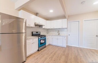
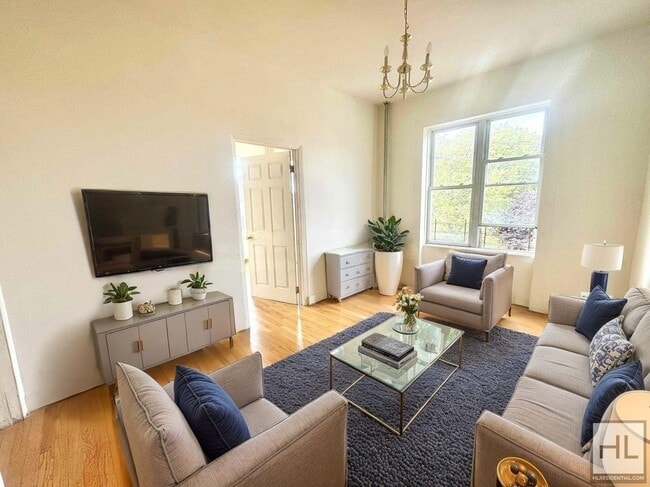
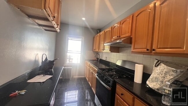
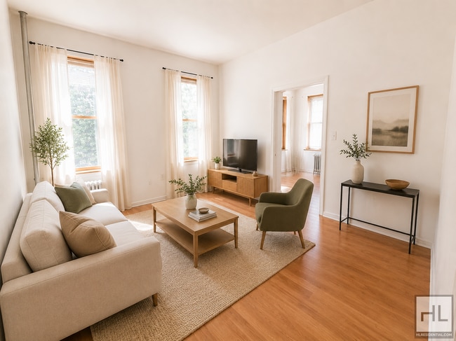
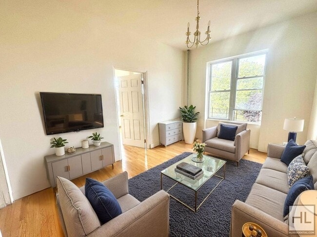
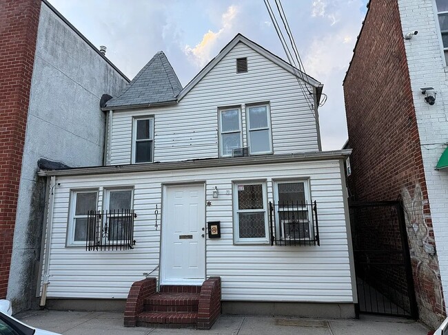
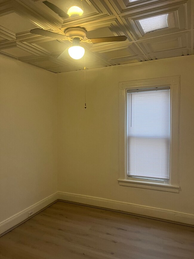
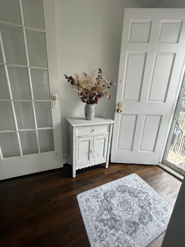
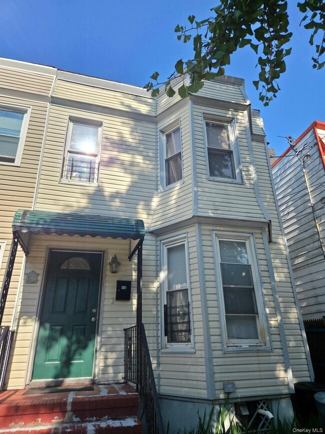
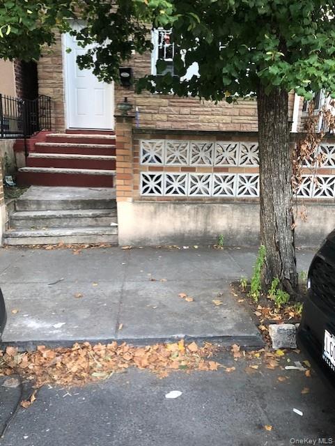
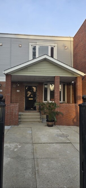
Rentals tend toward two- and three-family homes, garden-level apartments, and modest apartment communities offering more square footage than you'd find closer to Midtown. The older housing stock has real character, making Woodhaven a solid option for authentic Queens living at a measured pace.
Median Household Income
$77,677
Average: $103,956
Education
8,588
Residents Have a Degree
Job Market
16,566
Workers Employed
Median Age
41 Years
Largest Age Group
50-59 Years
Approximately 14% of Residents
Under 20
23%
Over 65
17%
Housing Distribution
Woodhaven has more renters than homeowners.

Education Distribution
Review this city's overall education levels.

As of August 2026, the average apartment rent in Woodhaven, NY is $1,637 for a studio, $1,732 for one bedroom, $2,116 for two bedrooms, and $2,573 for three bedrooms. Apartment rent in Woodhaven has increased by 1.2% in the past year.
Explore how walkable, bikeable, drivable, and transit-friendly Woodhaven, NY is for everyday living.
Exceptionally Walkable
Walkability
Exceptional Public Transit
Transit
Somewhat Drivable
Drivability
Very Bikeable
Bikeability

† Our analysis of utilities, groceries, transportation, healthcare, home prices, and other goods and services is sourced from the Cost of Living Index, a respected benchmark published by the Council for Community and Economic Research (C2ER) that provides a thorough overview of living expenses across different regions.
Rent data is provided by CoStar Group’s Market Trend reports. As the industry leader in commercial real estate information, analytics, and news, CoStar conducts extensive research to produce and maintain a comprehensive database of commercial real estate information. We combine this data with public record to provide the most up-to-date rental information available.
Consumer goods, services, and home prices are sourced from the Cost of Living Index published by the Council for Community and Economic Research (C2ER). The data on this page is updated quarterly. It was last published in June 2026.
Demographic information comes from Neustar and combines detailed address data with U.S. Census and American Community Survey statistics to produce reliable local estimates.