
Alexan Waltham
79 Pond St,
Waltham, MA 02451
$2,790 - $5,580 Total Monthly Price
Studio - 3 Beds | 13 Month Lease
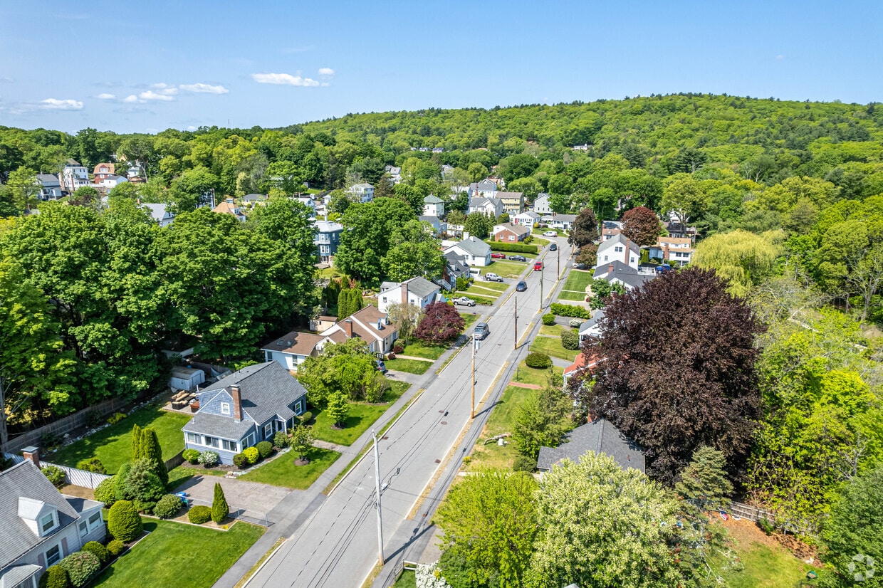

Located 11 miles west of Boston along the Charles River, Waltham combines metropolitan accessibility with tree-lined neighborhoods. The city earned its "Watch City" nickname through its historic watchmaking industry and now houses both Brandeis and Bentley Universities. The rental market remains competitive, with average rents ranging from $2,002 for studios to $3,843 for three-bedroom units. Housing options span from riverside apartment communities to historic homes in established neighborhoods like Piety Corner and the Highlands.
Moody Street, known locally as "Restaurant Row," serves as the city's downtown hub, featuring an international array of restaurants and independent shops. The Charles River Museum of Industry & Innovation chronicles the area's manufacturing legacy, while the riverside paths offer miles of walking and cycling routes. Residents enjoy access to several parks and green spaces, including the preserved Gore Place estate and the scenic Prospect Hill Park. The Rose Art Museum at Brandeis University and the annual Watch City Steampunk Festival add to the area's cultural calendar. The city's strong Ugandan community has influenced local culture, earning the area the informal nickname "Little Kampala."
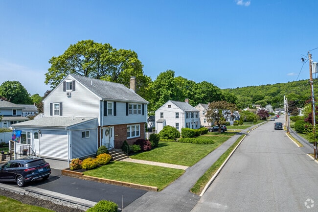
Colonial homes on Kennedy Park in The Lanes.
The Lanes is a great place to live with friendly neighbors.
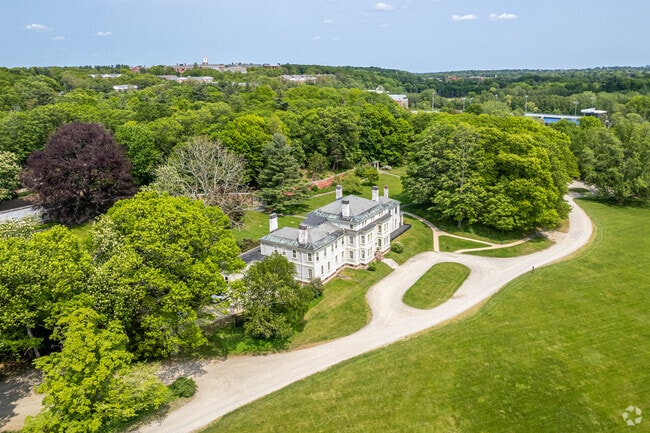
Lyman Estate Greenhouses in The Lanes, Waltham.
Kendal Green Station in Bear Hill offers easy access to nearby towns including Boston.
Walk the trails of Prospect Hill Park in The Lanes.
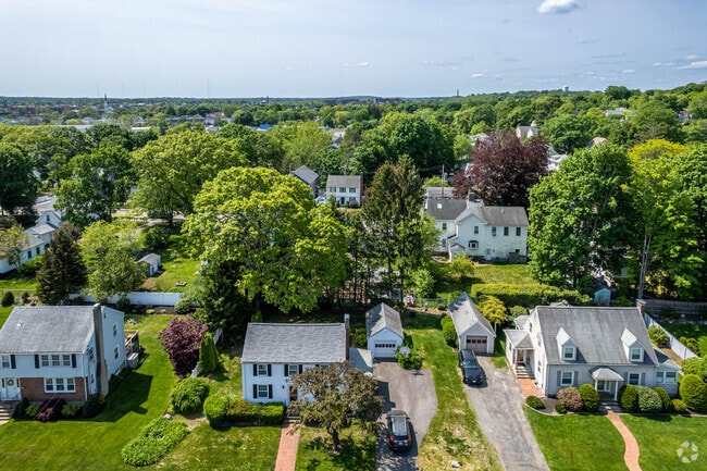
The Lanes is the perfect place to call home in Waltham.
As of March 2026, the average apartment rent in Waltham, MA is $2,059 for a studio, $2,684 for one bedroom, $3,240 for two bedrooms, and $3,794 for three bedrooms. Apartment rent in Waltham has decreased by -0.4% in the past year.
Explore how walkable, bikeable, drivable, and transit-friendly Waltham, MA is for everyday living.
Very Walkable
If you enjoy walking, you’ll enjoy renting in this area! It’s a very walkable neighborhood.
Some Transit
You'll likely want a car when living in this area since it has few transit options.
Bikeable
While there’s some bike infrastructure in this area, you’ll still need a car for many errands.
Douglas Macarthur Elementary School
Public
Grades K-5

William F. Stanley Elementary School
Public
Grades PK-5

Henry Whittemore Elementary School
Public
Grades K-5
James Fitzgerald Elementary School
Public
Grades K-5
Public
Grades PK-5

Public
Grades 6-8
John W. McDevitt Middle School
Public
Grades 6-8

Public
Grades 9-12

Public
Grades 9-12


196
Communities
70,873
Units
136
Cities

390
Communities
119,597
Units
158
Cities

3,489
Communities
959,639
Units
894
Cities

715
Communities
198,674
Units
340
Cities

159
Communities
26,767
Units
111
Cities

173
Communities
54,639
Units
102
Cities
† Our analysis of utilities, groceries, transportation, healthcare, home prices, and other goods and services is sourced from the Cost of Living Index, a respected benchmark published by the Council for Community and Economic Research (C2ER) that provides a thorough overview of living expenses across different regions.
Rent data is provided by CoStar Group’s Market Trend reports. As the industry leader in commercial real estate information, analytics, and news, CoStar conducts extensive research to produce and maintain a comprehensive database of commercial real estate information. We combine this data with public record to provide the most up-to-date rental information available.
Consumer goods, services, and home prices are sourced from the Cost of Living Index published by the Council for Community and Economic Research (C2ER). The data on this page is updated quarterly. It was last published in February 2026.


