Median Age
29 Years
Largest Age Group
25-34 Years
Approximately 46% of Residents
Under 20
17%
Over 65
4%

Stanford is a census-designated place in the northwestern corner of Santa Clara County, where an 8,180-acre university campus essentially defines the entire community. Daily life here revolves around the rhythms of academic culture, from outdoor lectures on landscaped lawns to dining along California Avenue and University Avenue, both of which connect directly to campus. Neighbors include Palo Alto, Menlo Park, and West Menlo Park, each offering their own mix of cafes, shops, and greenways within a short drive.
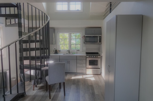
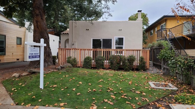
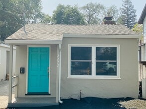
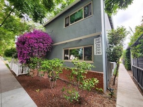
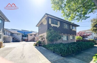
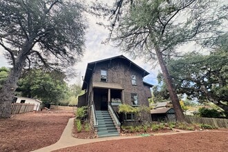
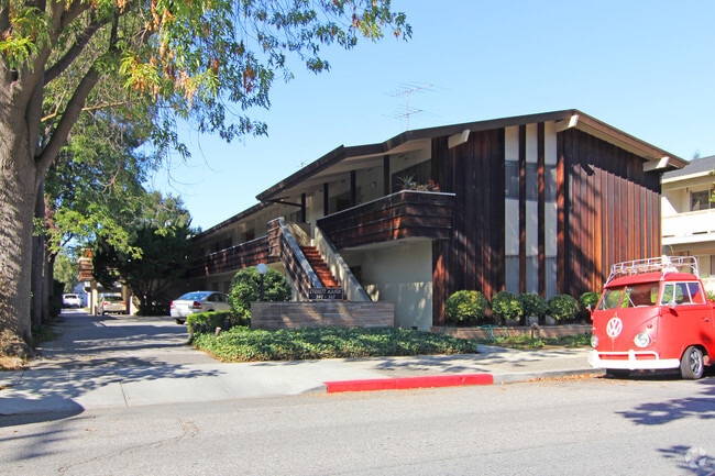
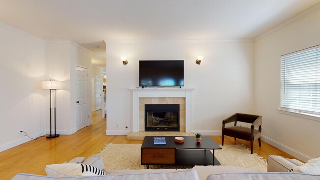
Housing options reflect the campus-driven character of the area. On-campus rentals include studio, low-rise, mid-rise, and high-rise apartment communities.Adjacent neighborhoods offers Craftsman, Mediterranean, and Spanish-style single-family rental homes on gridded streets, many dating to the late 19th century.
Stanford University, a private research institution, anchors nearly all aspects of this community. Its alumni roster spans hundreds of tech founders, political leaders, and Olympic athletes. The university owns Stanford Shopping Center, the Stanford Golf Course, and more.
Median Household Income
$62,230
Average: $110,591
Education
14,249
Residents Have a Degree
Job Market
8,429
Workers Employed
Median Age
29 Years
Largest Age Group
25-34 Years
Approximately 46% of Residents
Under 20
17%
Over 65
4%
Housing Distribution
Stanford has more renters than homeowners.

Education Distribution
Review this city's overall education levels.

Explore how walkable, bikeable, drivable, and transit-friendly Stanford, CA is for everyday living.
Moderately Walkable
Walkability
Some Public Transit
Transit
Moderately Drivable
Drivability
Exceptionally Bikeable
Bikeability

Public
Grades K-5
432 Students

Public
Grades K-5
432 Students
Public
Grades K-5
350 Students
Lucille M. Nixon Elementary School
Public
Grades K-5
350 Students
 The GreatSchools Rating helps parents compare schools within a state based on a variety of school quality indicators and provides a helpful picture of how effectively each school serves all of its students. Ratings are on a scale of 1 (below average) to 10 (above average) and can include test scores, college readiness, academic progress, advanced courses, equity, discipline and attendance data. We also advise parents to visit schools, consider other information on school performance and programs, and consider family needs as part of the school selection process.
View GreatSchools Rating Methodology
Data provided by
GreatSchools.org
© 2026. All rights reserved.
The GreatSchools Rating helps parents compare schools within a state based on a variety of school quality indicators and provides a helpful picture of how effectively each school serves all of its students. Ratings are on a scale of 1 (below average) to 10 (above average) and can include test scores, college readiness, academic progress, advanced courses, equity, discipline and attendance data. We also advise parents to visit schools, consider other information on school performance and programs, and consider family needs as part of the school selection process.
View GreatSchools Rating Methodology
Data provided by
GreatSchools.org
© 2026. All rights reserved.
† Our analysis of utilities, groceries, transportation, healthcare, home prices, and other goods and services is sourced from the Cost of Living Index, a respected benchmark published by the Council for Community and Economic Research (C2ER) that provides a thorough overview of living expenses across different regions.
Rent data is provided by CoStar Group’s Market Trend reports. As the industry leader in commercial real estate information, analytics, and news, CoStar conducts extensive research to produce and maintain a comprehensive database of commercial real estate information. We combine this data with public record to provide the most up-to-date rental information available.
Consumer goods, services, and home prices are sourced from the Cost of Living Index published by the Council for Community and Economic Research (C2ER). The data on this page is updated quarterly. It was last published in September 2026.
Demographic information comes from Neustar and combines detailed address data with U.S. Census and American Community Survey statistics to produce reliable local estimates.