Median Age
49 Years
Largest Age Group
55-64 Years
Approximately 15% of Residents
Under 20
20%
Over 65
26%
Avg Rent
$1,684
Population
10,790
Renter Mix
39% Rent
Tucked into the San Gabriel Valley foothills, Sierra Madre sits right where the suburbs give way to the Angeles National Forest, giving the city an identity that feels more like a mountain town than a typical Los Angeles County enclave. Known as the "Village of the Foothills," this compact three-square-mile city carries a small-town atmosphere that stands apart from the sprawl just beyond its borders. Nearby Pasadena and Arcadia offer commuter rail access and additional employment hubs, while the city itself draws residents who want proximity to greater Los Angeles without sacrificing a quieter pace of daily life.
The housing stock here leans heavily toward single-family homes and smaller apartment communities tucked into tree-lined streets, with craftsman bungalows and Spanish-style architecture adding lasting character to the neighborhoods. Renters will find a mix of low-rise buildings and garden-style apartment communities that blend comfortably into the residential surroundings.
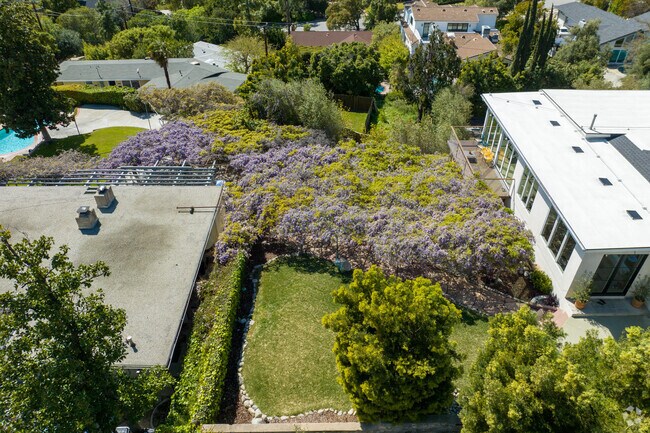
Sierra Madre hosts the annual Wisteria Festival, celebrating the world's largest blooming wisteria plant, a historic vine that has been growing in the city since 1894 and draws visitors from across the region each spring. The wisteria plant, which weighs over 250 tons and spans over an acre, is open to the public during the Wistaria Festival every year.
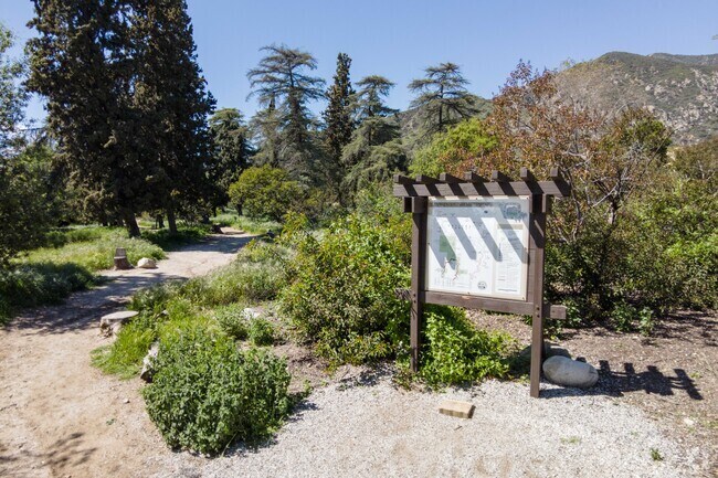
Bailey Canyon Wilderness Park gives residents access to beautiful trails.
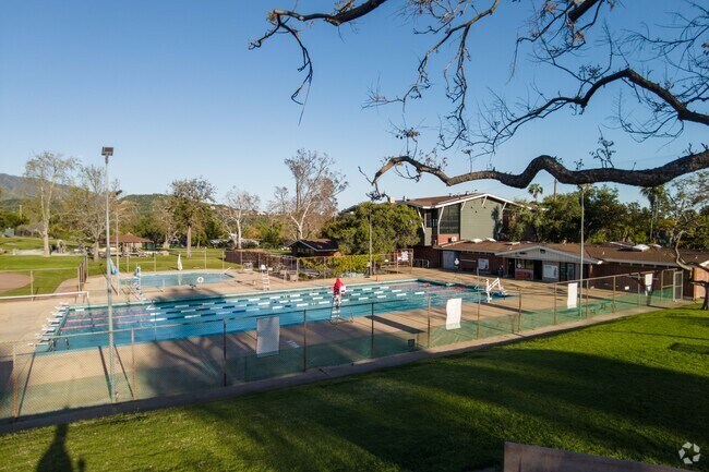
Sierra Vista Park contains a pool and multiple sports fields for visitors.
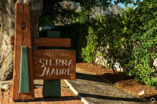
Sierra Madre sign welcomes those who enter the town on S Street.
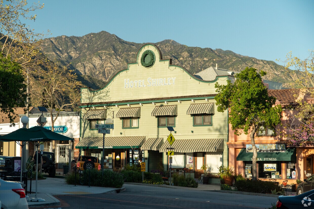
Downtown Sierra Madre features shops, restaurants, and classic American western architecture.
A community garden at Memorial Park in Sierra Madre.
Many gardens in Sierra Madre feature succulents and other desert flora.
Median Household Income
$122,579
Average: $154,553
Education
5,670
Residents Have a Degree
Job Market
5,930
Workers Employed
Median Age
49 Years
Largest Age Group
55-64 Years
Approximately 15% of Residents
Under 20
20%
Over 65
26%
Housing Distribution
Sierra Madre has more homeowners than renters.

Education Distribution
Review this city's overall education levels.

As of August 2026, the average apartment rent in Sierra Madre, CA is $791 for a studio, $1,684 for one bedroom, $2,227 for two bedrooms, and $2,545 for three bedrooms. Apartment rent in Sierra Madre has increased by 1.2% in the past year.
Explore how walkable, bikeable, drivable, and transit-friendly Sierra Madre, CA is for everyday living.
Fairly Walkable
Walkability
Limited Public Transit
Transit
Exceptionally Drivable
Drivability
Fairly Bikeable
Bikeability
Sierra Madre Elementary School
Public
Grades K-5
652 Students

Public
Grades K-5
652 Students

Public
Grades 6-8
597 Students
† Our analysis of utilities, groceries, transportation, healthcare, home prices, and other goods and services is sourced from the Cost of Living Index, a respected benchmark published by the Council for Community and Economic Research (C2ER) that provides a thorough overview of living expenses across different regions.
Rent data is provided by CoStar Group’s Market Trend reports. As the industry leader in commercial real estate information, analytics, and news, CoStar conducts extensive research to produce and maintain a comprehensive database of commercial real estate information. We combine this data with public record to provide the most up-to-date rental information available.
Consumer goods, services, and home prices are sourced from the Cost of Living Index published by the Council for Community and Economic Research (C2ER). The data on this page is updated quarterly. It was last published in June 2026.
Demographic information comes from Neustar and combines detailed address data with U.S. Census and American Community Survey statistics to produce reliable local estimates.


