Median Age
36 Years
Largest Age Group
10-19 Years
Approximately 15% of Residents
Under 20
27%
Over 65
15%
Avg Rent
$1,509
Population
30,792
Renter Mix
48% Rent
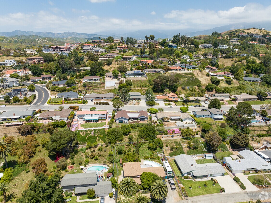
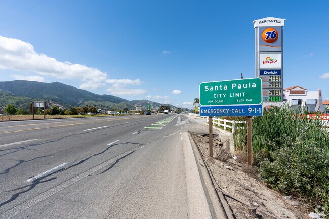
Tucked into the Santa Clara River Valley between citrus groves and the rolling hills of Ventura County, Santa Paula, California carries the title "Citrus Capital of the World" with genuine pride. The city's agricultural roots run deep, and that history shapes its character in ways you can still feel walking through the walkable downtown core, where a mix of locally owned shops and long-standing eateries line the streets near the historic California Oil Museum. Neighborhoods range from quiet residential streets close to downtown to hillside pockets with wide-open views toward the surrounding mountains and orchards.
Santa Paula's economy leans on agriculture, light manufacturing, and its proximity to larger employment centers in Ventura and Oxnard, both reachable within a short drive. The city also draws on a tight-knit civic identity that keeps community events and local institutions at the center of everyday life. Thomas Aquinas College, a small liberal arts school on the city's edge, adds an intellectual anchor to the area.
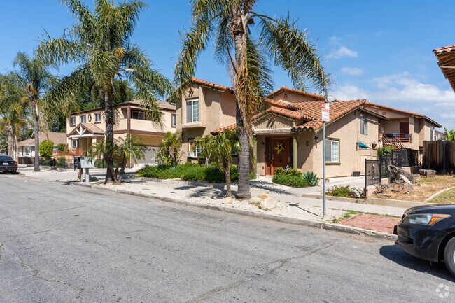
The rental market here tends toward single-family homes, duplexes, and smaller apartment communities rather than large high-rise developments. Craftsman bungalows and Spanish Colonial Revival architecture give many neighborhoods a distinct, rooted aesthetic that feels genuinely California without the urban density of coastal cities nearby.
Residential options include apartment complexes like this one across from Grace Thille Elementary in Santa Paula.
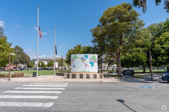
Veterans Memorial Park in Santa Paula offers a tribute to the sons and daughters who risked their lives to serve their country.
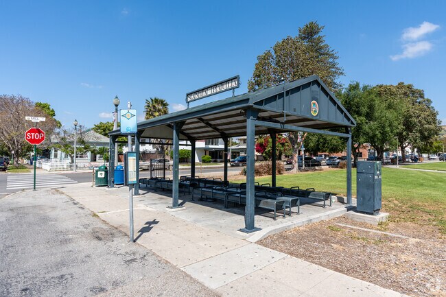
A bus stop with shade and benches in Santa Paula.
Residents can play on the playground, play shoot some hoops, or sit and enjoy the shade under the large trees at Obregon Park in Santa Paula.
One of the streets in Santa Paula, show the lush greenery and beautiful landscaping.
Las Piedras Park in Santa Paula is another option for residents to enjoy.
Median Household Income
$71,422
Average: $85,610
Education
3,650
Residents Have a Degree
Job Market
14,198
Workers Employed
Median Age
36 Years
Largest Age Group
10-19 Years
Approximately 15% of Residents
Under 20
27%
Over 65
15%
Housing Distribution
Santa Paula has more homeowners than renters.

Education Distribution
Review this city's overall education levels.

As of July 2026, the average apartment rent in Santa Paula, CA is $1,092 for a studio, $1,509 for one bedroom, $1,625 for two bedrooms, and $2,145 for three bedrooms. Apartment rent in Santa Paula has increased by 1.8% in the past year.
Explore how walkable, bikeable, drivable, and transit-friendly Santa Paula, CA is for everyday living.
Fairly Walkable
Walkability
Limited Public Transit
Transit
Exceptionally Drivable
Drivability
Moderately Bikeable
Bikeability
Public
Grades K-5
53 Students

Public
Grades K-5
236 Students

Public
Grades K-5
236 Students
Public
Grades K-5
300 Students

Public
Grades K-8
175 Students
Public
Grades K-8
175 Students
Public
Grades K-8
175 Students

Public
Grades 6-8
634 Students

Public
Grades K-8
221 Students
Public
Grades K-8
221 Students

Public
Grades 9-12
1,494 Students
Public
Grades 9-12
113 Students

† Our analysis of utilities, groceries, transportation, healthcare, home prices, and other goods and services is sourced from the Cost of Living Index, a respected benchmark published by the Council for Community and Economic Research (C2ER) that provides a thorough overview of living expenses across different regions.
Rent data is provided by CoStar Group’s Market Trend reports. As the industry leader in commercial real estate information, analytics, and news, CoStar conducts extensive research to produce and maintain a comprehensive database of commercial real estate information. We combine this data with public record to provide the most up-to-date rental information available.
Consumer goods, services, and home prices are sourced from the Cost of Living Index published by the Council for Community and Economic Research (C2ER). The data on this page is updated quarterly. It was last published in June 2026.
Demographic information comes from Neustar and combines detailed address data with U.S. Census and American Community Survey statistics to produce reliable local estimates.


