Median Age
36 Years
Largest Age Group
10-19 Years
Approximately 15% of Residents
Under 20
28%
Over 65
14%
Avg Rent
$1,653
Population
16,962
Renter Mix
34% Rent
Few California cities still look and feel like the railroad town they were founded as -- Fillmore is one of them. Established in 1887, it retains a vintage Main Street framed by citrus orchards and the Topa Topa Mountains, sitting in the Santa Clara River Valley about 60 miles from downtown Los Angeles. This small Ventura County community moves at a pace that stands in sharp contrast to nearby urban centers. The historic downtown core, where Main Street meets Central Avenue, draws residents for walkable dining and shopping, while Central Park anchors the civic heart of the neighborhood.
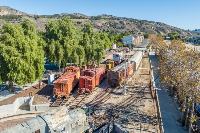
The city is named for J.A. Fillmore, general superintendent of Southern Pacific's Pacific rail system, and that railroad legacy remains visible and celebrated today. Orchards surrounding the city and an annual Fall Harvest Festival on Sespe Avenue offer plenty to do within Fillmore.
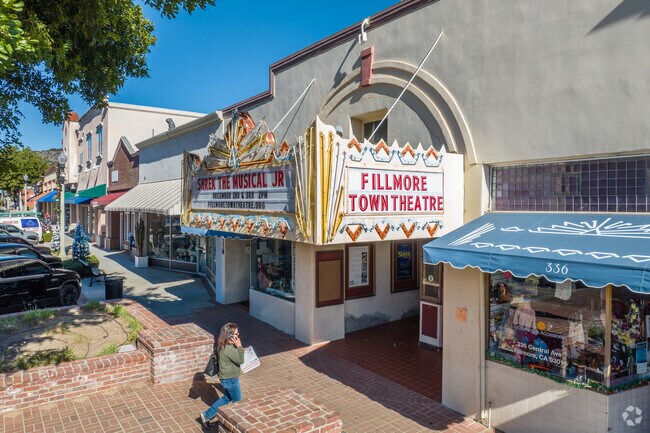
Historic downtown Fillmore has a variety of shops and dining options within the old buildings.
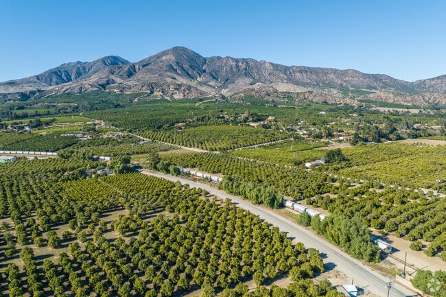
Fillmore's fertile land allows for large-scale agriculture.
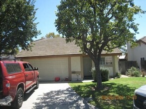
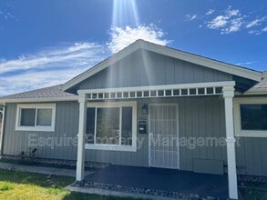
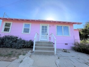
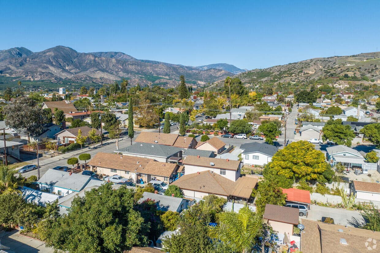
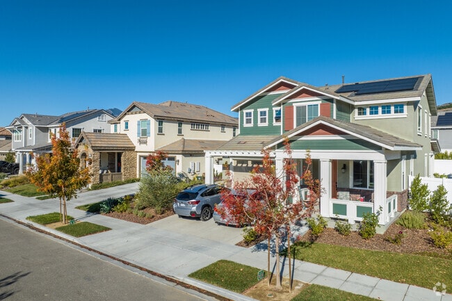
Craftsman homes are one of several styles that you can find in Fillmore.
Residents can take a pleasant stroll along the sidewalks of Fillmore.
Walk along the sidewalks of Downtown Fillmore to discover the various shops and businesses.
Locals can enjoy the Fillmore skate park at Two Rivers Park.
Median Household Income
$80,827
Average: $101,641
Education
2,534
Residents Have a Degree
Job Market
8,537
Workers Employed
Median Age
36 Years
Largest Age Group
10-19 Years
Approximately 15% of Residents
Under 20
28%
Over 65
14%
Housing Distribution
Fillmore has more homeowners than renters.

Education Distribution
Review this city's overall education levels.

As of September 2026, the average apartment rent in Fillmore, CA is $883 for a studio, $1,653 for one bedroom, $1,943 for two bedrooms, and $1,911 for three bedrooms. Apartment rent in Fillmore has increased by 2.4% in the past year.
Explore how walkable, bikeable, drivable, and transit-friendly Fillmore, CA is for everyday living.
Fairly Walkable
Walkability
Limited Public Transit
Transit
Exceptionally Drivable
Drivability
Fairly Bikeable
Bikeability

Public
Grades K-5
430 Students

Public
Grades K-5
553 Students

Heritage Valley Independent Study
Public
Grades K-12
32 Students

San Cayetano Elementary School
Public
Grades K-5
514 Students

Heritage Valley Independent Study
Public
Grades K-12
32 Students
Public
Grades 6-8
813 Students

Public
Grades 9-12
1,007 Students
Public
Grades 9-12
1,007 Students
Heritage Valley Independent Study
Public
Grades K-12
32 Students
Public
Grades 9-12
64 Students
 The GreatSchools Rating helps parents compare schools within a state based on a variety of school quality indicators and provides a helpful picture of how effectively each school serves all of its students. Ratings are on a scale of 1 (below average) to 10 (above average) and can include test scores, college readiness, academic progress, advanced courses, equity, discipline and attendance data. We also advise parents to visit schools, consider other information on school performance and programs, and consider family needs as part of the school selection process.
View GreatSchools Rating Methodology
Data provided by
GreatSchools.org
© 2026. All rights reserved.
The GreatSchools Rating helps parents compare schools within a state based on a variety of school quality indicators and provides a helpful picture of how effectively each school serves all of its students. Ratings are on a scale of 1 (below average) to 10 (above average) and can include test scores, college readiness, academic progress, advanced courses, equity, discipline and attendance data. We also advise parents to visit schools, consider other information on school performance and programs, and consider family needs as part of the school selection process.
View GreatSchools Rating Methodology
Data provided by
GreatSchools.org
© 2026. All rights reserved.
† Our analysis of utilities, groceries, transportation, healthcare, home prices, and other goods and services is sourced from the Cost of Living Index, a respected benchmark published by the Council for Community and Economic Research (C2ER) that provides a thorough overview of living expenses across different regions.
Rent data is provided by CoStar Group’s Market Trend reports. As the industry leader in commercial real estate information, analytics, and news, CoStar conducts extensive research to produce and maintain a comprehensive database of commercial real estate information. We combine this data with public record to provide the most up-to-date rental information available.
Consumer goods, services, and home prices are sourced from the Cost of Living Index published by the Council for Community and Economic Research (C2ER). The data on this page is updated quarterly. It was last published in September 2026.
Demographic information comes from Neustar and combines detailed address data with U.S. Census and American Community Survey statistics to produce reliable local estimates.