Median Age
41 Years
Largest Age Group
10-19 Years
Approximately 14% of Residents
Under 20
26%
Over 65
19%

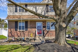
Oreland is a small but spirited census-designated place in Montgomery County, just a short drive from the Philadelphia city border, with the kind of close-knit atmosphere that makes neighbors feel like old friends. Spread across roughly two square miles of tree-lined streets in Springfield and Upper Dublin townships, the community draws people who want suburban breathing room without losing easy access to a major city. SEPTA Regional Rail service on the Lansdale/Doylestown Line connects residents to Center City Philadelphia, making the daily commute straightforward for those working in the region's commercial and healthcare corridors.
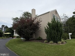
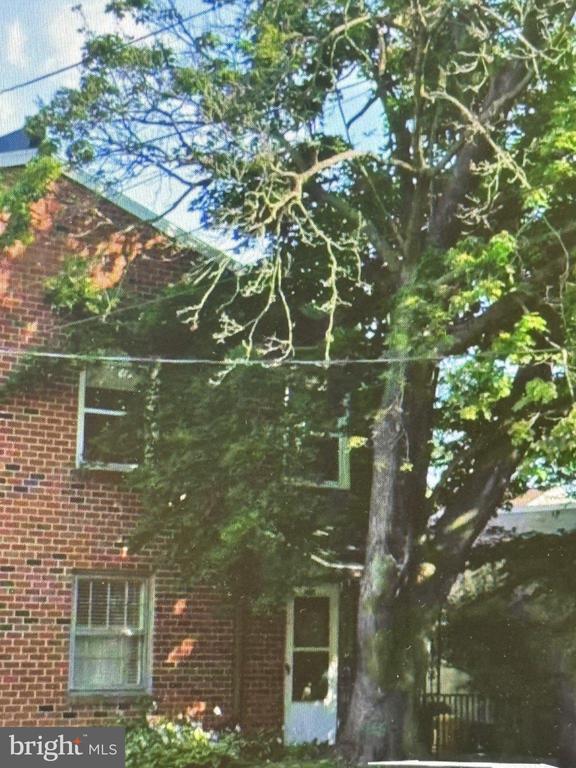
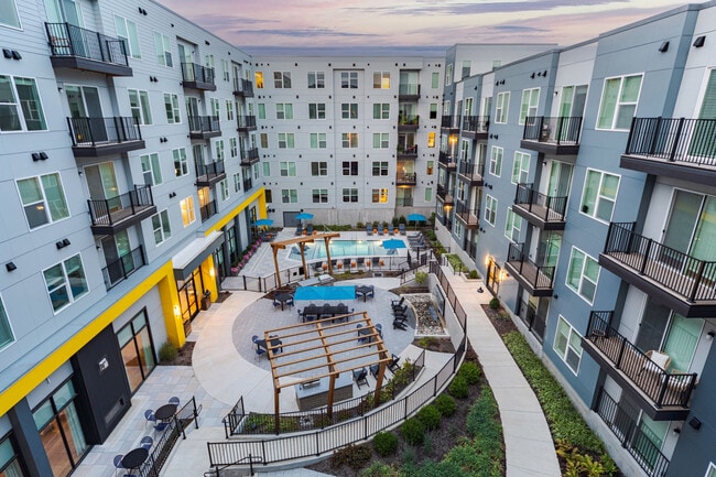
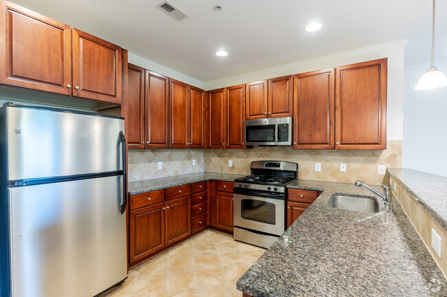
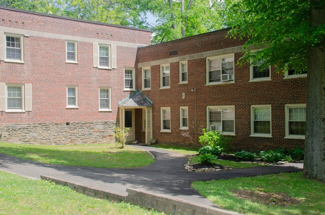
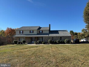
Housing in Oreland spans a range of eras and styles. The Custis Woods area offers late-Victorian and early-20th-century colonial homes, while the Oreland subdivision is characterized by mid-century Cape Cods and ranch-style houses on quarter-acre lots. Apartment communities complement the mix, giving renters plenty of options. Nearby Arcadia University and Chestnut Hill College add an academic presence to the broader area.
Oreland's roots run deep: in 1686, settler Thomas Fitzwater discovered lime deposits here, and William Penn ordered a road built to reach the kiln. That road, Limekiln Pike, still runs through the community today. The Oreland Lions Club has hosted a Fourth of July parade every year since 1950, a tradition that speaks to the enduring sense of place this small community has built over generations.
Median Household Income
$97,811
Average: $122,085
Education
2,239
Residents Have a Degree
Job Market
3,461
Workers Employed
Median Age
41 Years
Largest Age Group
10-19 Years
Approximately 14% of Residents
Under 20
26%
Over 65
19%
Housing Distribution
Oreland has more homeowners than renters.

Education Distribution
Review this city's overall education levels.

Explore how walkable, bikeable, drivable, and transit-friendly Oreland, PA is for everyday living.
Fairly Walkable
Walkability
Some Public Transit
Transit
Exceptionally Drivable
Drivability
Fairly Bikeable
Bikeability

Public
Grades 6-8
619 Students

 The GreatSchools Rating helps parents compare schools within a state based on a variety of school quality indicators and provides a helpful picture of how effectively each school serves all of its students. Ratings are on a scale of 1 (below average) to 10 (above average) and can include test scores, college readiness, academic progress, advanced courses, equity, discipline and attendance data. We also advise parents to visit schools, consider other information on school performance and programs, and consider family needs as part of the school selection process.
View GreatSchools Rating Methodology
Data provided by
GreatSchools.org
© 2026. All rights reserved.
The GreatSchools Rating helps parents compare schools within a state based on a variety of school quality indicators and provides a helpful picture of how effectively each school serves all of its students. Ratings are on a scale of 1 (below average) to 10 (above average) and can include test scores, college readiness, academic progress, advanced courses, equity, discipline and attendance data. We also advise parents to visit schools, consider other information on school performance and programs, and consider family needs as part of the school selection process.
View GreatSchools Rating Methodology
Data provided by
GreatSchools.org
© 2026. All rights reserved.
† Our analysis of utilities, groceries, transportation, healthcare, home prices, and other goods and services is sourced from the Cost of Living Index, a respected benchmark published by the Council for Community and Economic Research (C2ER) that provides a thorough overview of living expenses across different regions.
Rent data is provided by CoStar Group’s Market Trend reports. As the industry leader in commercial real estate information, analytics, and news, CoStar conducts extensive research to produce and maintain a comprehensive database of commercial real estate information. We combine this data with public record to provide the most up-to-date rental information available.
Consumer goods, services, and home prices are sourced from the Cost of Living Index published by the Council for Community and Economic Research (C2ER). The data on this page is updated quarterly. It was last published in September 2026.
Demographic information comes from Neustar and combines detailed address data with U.S. Census and American Community Survey statistics to produce reliable local estimates.