Median Age
29 Years
Largest Age Group
20-29 Years
Approximately 23% of Residents
Under 20
28%
Over 65
12%

Avg Rent
$1,167
Population
7,629
Renter Mix
54% Rent
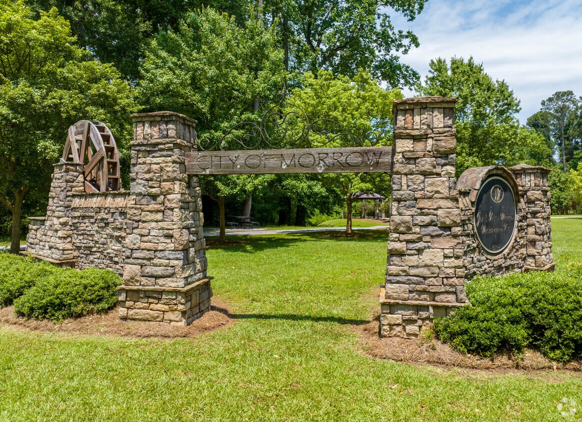
Morrow, Georgia is a convenient suburb for commuters, with a short travel distance of only 15 miles to Atlanta. Morrow houses part of the Reynolds Nature Preserve and Big Pond. Take advantage of the wildlife viewing opportunities on the rolling hills, forests, and wetlands. Morrow also surrounds the north end of Lake Louise.
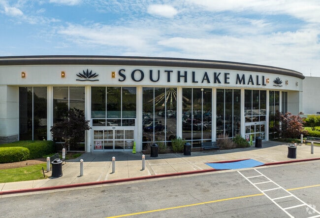
Clayton State University lies on the eastern border of town and is a great place for educational growth. On the south end of town, you’ll want to visit Southlake Mall for all of the major department stores. Morrow has very affordable apartments with great amenities all over the city. After you find your apartment, visit VN Pho on Jonesboro Road for the best Vietnamese noodle soups and bubble tea in Morrow.
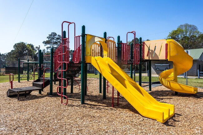
Morrow Lake City Recreation Park has a colorful playground for your children to play on.
Morrow has lush green landscaping throughout the city.
Morrow's Southlake Mall has a large food court and many retail stores.
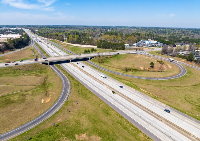
MARTA reaches every corner of Morrow and can get you to Atlanta in under 15 minutes.
Median Household Income
$44,861
Average: $68,496
Education
1,099
Residents Have a Degree
Job Market
3,602
Workers Employed
Median Age
29 Years
Largest Age Group
20-29 Years
Approximately 23% of Residents
Under 20
28%
Over 65
12%
Housing Distribution
Morrow has more renters than homeowners.

Education Distribution
Review this city's overall education levels.

As of July 2026, the average apartment rent in Morrow, GA is $1,167 for one bedroom, $1,486 for two bedrooms, and $1,538 for three bedrooms. Apartment rent in Morrow has decreased by -0.4% in the past year.
Explore how walkable, bikeable, drivable, and transit-friendly Morrow, GA is for everyday living.
Fairly Walkable
Walkability
Minimal Public Transit
Transit
Exceptionally Drivable
Drivability
Fairly Bikeable
Bikeability
Public
Grades PK-5
731 Students

William M. Mcgarrah Elementary School
Public
Grades PK-5
657 Students
Public
Grades PK-5
400 Students
Thurgood Marshall Elementary School
Public
Grades PK-5
754 Students

Public
Grades PK-5
565 Students

Public
Grades 6-8
819 Students

Public
Grades 6-8
583 Students
Public
Grades 9-12
2,154 Students
Utopian Academy for the Arts High School
Public
Grades 9-12
323 Students
† Our analysis of utilities, groceries, transportation, healthcare, home prices, and other goods and services is sourced from the Cost of Living Index, a respected benchmark published by the Council for Community and Economic Research (C2ER) that provides a thorough overview of living expenses across different regions.
Rent data is provided by CoStar Group’s Market Trend reports. As the industry leader in commercial real estate information, analytics, and news, CoStar conducts extensive research to produce and maintain a comprehensive database of commercial real estate information. We combine this data with public record to provide the most up-to-date rental information available.
Consumer goods, services, and home prices are sourced from the Cost of Living Index published by the Council for Community and Economic Research (C2ER). The data on this page is updated quarterly. It was last published in June 2026.
Demographic information comes from Neustar and combines detailed address data with U.S. Census and American Community Survey statistics to produce reliable local estimates.


