Median Age
35 Years
Largest Age Group
5-14 Years
Approximately 16% of Residents
Under 20
30%
Over 65
13%
Avg Rent
$1,011
Population
20,304
Renter Mix
60% Rent
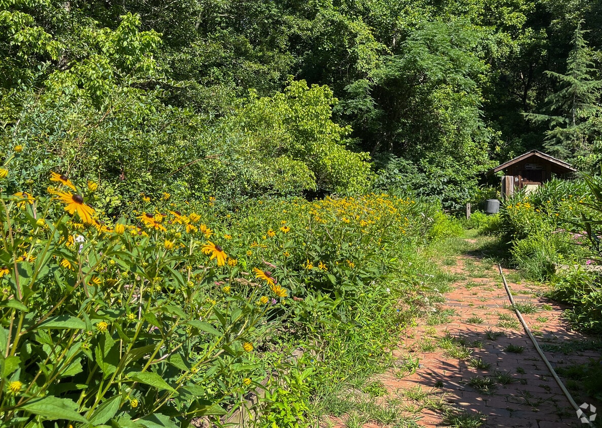
Forest Park is a part of the Atlanta metropolitan area and sits in the southernmost portion of the city. This city is located next door to the Hartsfield-Jackson International Airport with easy access to Interstates 75 and 285 that will take you anywhere in the city and surrounding areas. Forest Park is home to the popular Atlanta State Farmers Market and sits just north of Clayton State University. This suburb features affordable apartments and houses for rent and is only 11 miles south of Downtown Atlanta. Residents have easy access to other bustling areas in the city like Midtown, Decatur, and Grant Park. Families appreciate green spaces and outdoor amenities at Starr Park, and there’s an array of restaurants and retailers in town along Jonesboro Road.
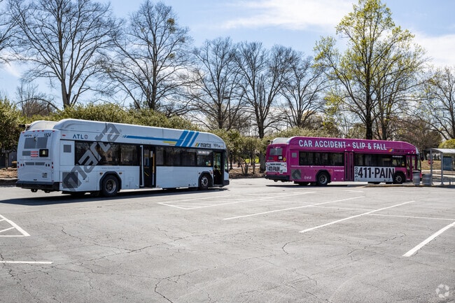
Forest Park is part of the MARTA line to access the city of Atlanta.
Forest Park can be the perfect location for your family to thrive.
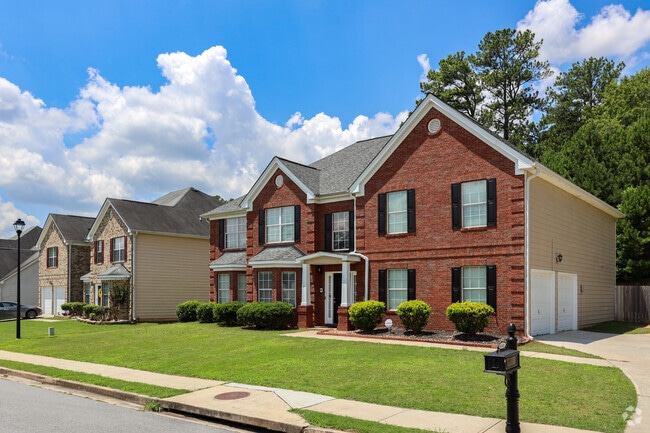
Forest Park's homes have decent sized yardage and long driveways.
Forest Park welcomes all religions and customs to create a diverse community.
Atlanta State Farmers Market is extremely busy providing you with the best possible produce.
Starr Park's walking trail can be your destination for a perfect morning walk.
Median Household Income
$36,909
Average: $49,302
Education
2,207
Residents Have a Degree
Job Market
8,961
Workers Employed
Median Age
35 Years
Largest Age Group
5-14 Years
Approximately 16% of Residents
Under 20
30%
Over 65
13%
Housing Distribution
Forest Park has more renters than homeowners.

Education Distribution
Review this city's overall education levels.

As of July 2026, the average apartment rent in Forest Park, GA is $1,010 for one bedroom, $1,124 for two bedrooms, and $1,469 for three bedrooms. Apartment rent in Forest Park has decreased by -5.9% in the past year.
Explore how walkable, bikeable, drivable, and transit-friendly Forest Park, GA is for everyday living.
Fairly Walkable
Walkability
Limited Public Transit
Transit
Exceptionally Drivable
Drivability
Somewhat Bikeable
Bikeability
Unidos Dual Language Charter School
Public
Grades PK-5
414 Students

Public
Grades PK-5
458 Students

Public
Grades PK-5
450 Students

Public
Grades PK-5
566 Students

Public
Grades 6-8
838 Students
Public
Grades 6-8
583 Students

Public
Grades 6-8
239 Students

Public
Grades 9-12
1,645 Students
† Our analysis of utilities, groceries, transportation, healthcare, home prices, and other goods and services is sourced from the Cost of Living Index, a respected benchmark published by the Council for Community and Economic Research (C2ER) that provides a thorough overview of living expenses across different regions.
Rent data is provided by CoStar Group’s Market Trend reports. As the industry leader in commercial real estate information, analytics, and news, CoStar conducts extensive research to produce and maintain a comprehensive database of commercial real estate information. We combine this data with public record to provide the most up-to-date rental information available.
Consumer goods, services, and home prices are sourced from the Cost of Living Index published by the Council for Community and Economic Research (C2ER). The data on this page is updated quarterly. It was last published in June 2026.
Demographic information comes from Neustar and combines detailed address data with U.S. Census and American Community Survey statistics to produce reliable local estimates.


