Median Age
42 Years
Largest Age Group
35-44 Years
Approximately 14% of Residents
Under 20
22%
Over 65
20%
Avg Rent
$2,099
Population
117,082
Renter Mix
48% Rent
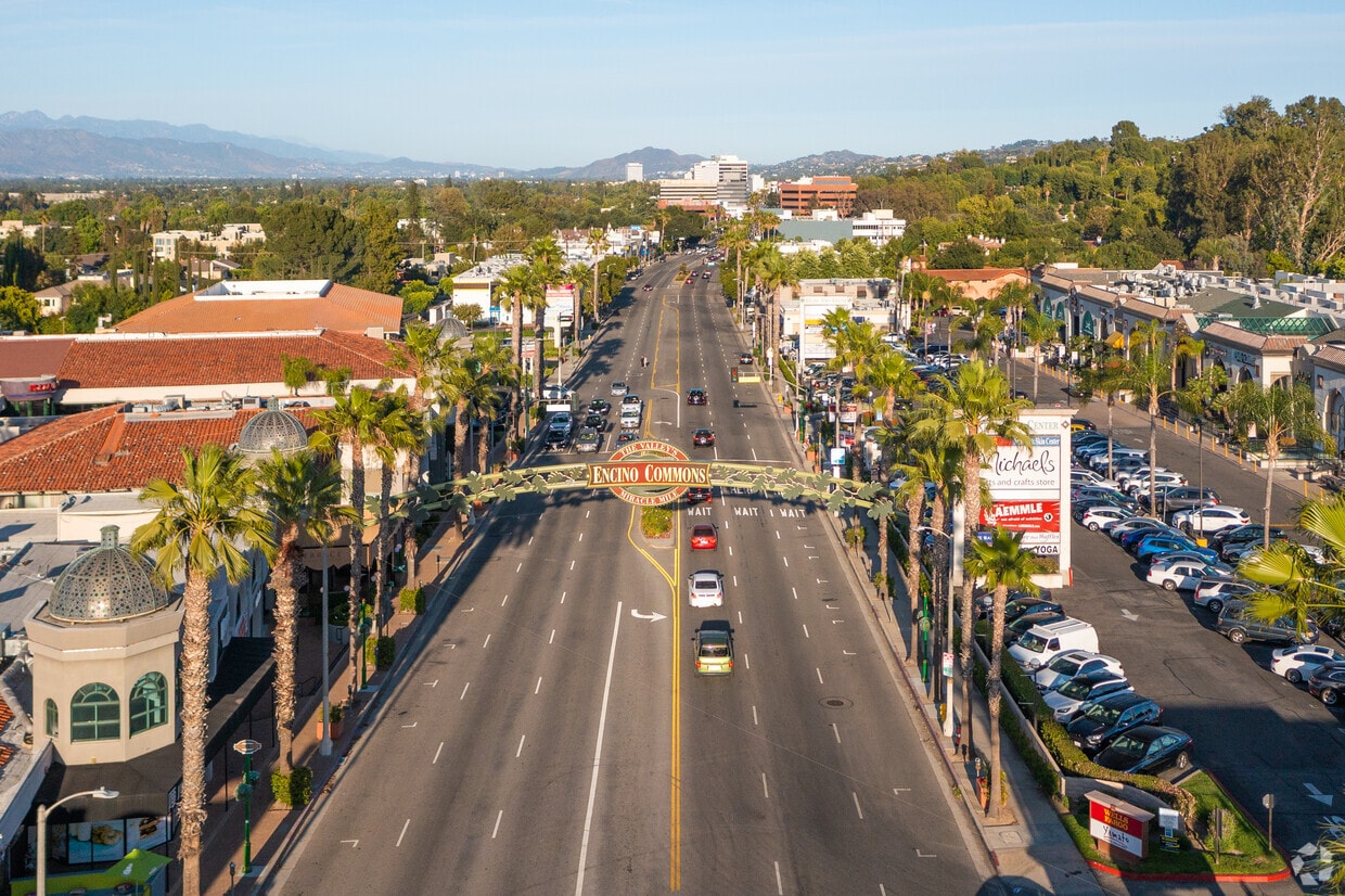
Encino is a well-established neighborhood in Los Angeles' San Fernando Valley, occupying a stretch of land tucked between Sherman Oaks to the east and the Santa Monica Mountains to the south. Its name traces back to the Spanish word for oak, a nod to the Tongva village of Siutcanga that once stood here — and Los Encinos State Historic Park still preserves some of that original ground today. The neighborhood carries a quieter, more settled energy than much of L.A., with tree-lined residential streets giving way to a busy commercial strip along Ventura Boulevard, where shops, cafes, and markets draw steady foot traffic.
Housing in Encino runs the full spectrum, from spacious single-family homes in the hillside areas to apartment communities and luxury rentals closer to Ventura Boulevard. Renters tend to find more square footage here than in denser westside neighborhoods, which draws those looking for room to breathe without straying far from the city. Access to the 101 and 405 freeways keeps downtown Los Angeles, the Westside, and the broader Valley within reach, making Encino a practical base for navigating one of the country's largest metro areas.
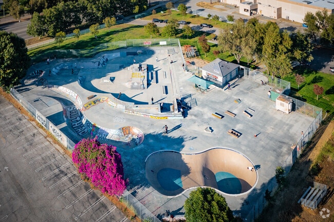
Practice your skate tricks at Pedlow Skate Park on the border of Encino.
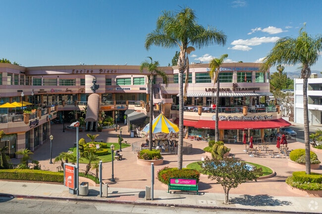
Indulge in some retail therapy at Encino Place Retail Center, Encino, CA.
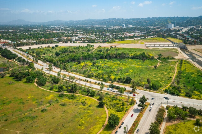
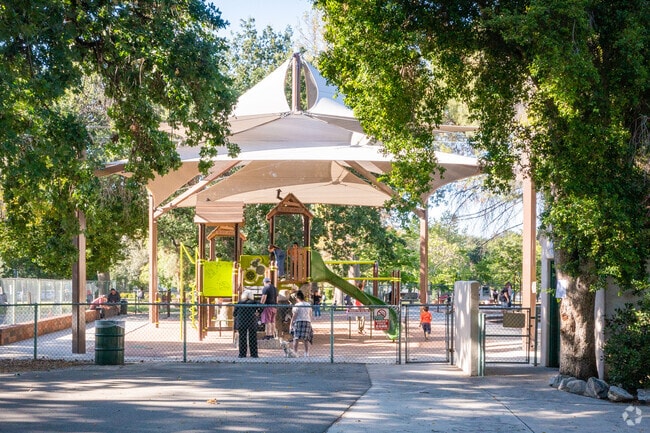
Encino Park playground is shaded for all-season fun in Encino, CA.
Neighborhood close to downtown area
More Than Waffles in Encino Commons is a staple restaurant in the heart of Encino, CA.
Median Household Income
$84,524
Average: $114,048
Education
39,298
Residents Have a Degree
Job Market
59,920
Workers Employed
Median Age
42 Years
Largest Age Group
35-44 Years
Approximately 14% of Residents
Under 20
22%
Over 65
20%
Housing Distribution
Encino has more homeowners than renters.

Education Distribution
Review this city's overall education levels.

As of July 2026, the average apartment rent in Encino, CA is $1,780 for a studio, $2,106 for one bedroom, $2,720 for two bedrooms, and $3,309 for three bedrooms. Apartment rent in Encino has increased by 0.5% in the past year.
Explore how walkable, bikeable, drivable, and transit-friendly Encino, CA is for everyday living.
Moderately Walkable
Walkability
Limited Public Transit
Transit
Exceptionally Drivable
Drivability
Fairly Bikeable
Bikeability
† Our analysis of utilities, groceries, transportation, healthcare, home prices, and other goods and services is sourced from the Cost of Living Index, a respected benchmark published by the Council for Community and Economic Research (C2ER) that provides a thorough overview of living expenses across different regions.
Rent data is provided by CoStar Group’s Market Trend reports. As the industry leader in commercial real estate information, analytics, and news, CoStar conducts extensive research to produce and maintain a comprehensive database of commercial real estate information. We combine this data with public record to provide the most up-to-date rental information available.
Consumer goods, services, and home prices are sourced from the Cost of Living Index published by the Council for Community and Economic Research (C2ER). The data on this page is updated quarterly. It was last published in June 2026.
Demographic information comes from Neustar and combines detailed address data with U.S. Census and American Community Survey statistics to produce reliable local estimates.


