Median Age
37 Years
Largest Age Group
25-34 Years
Approximately 16% of Residents
Under 20
24%
Over 65
14%
Avg Rent
$2,020
Population
49,432
Renter Mix
45% Rent
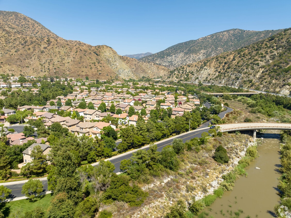
Azusa sits at the base of the San Gabriel Mountains in Los Angeles County, where the foothills meet the eastern edge of the San Gabriel Valley along historic Route 66. Known locally as the Canyon City, it occupies about 10 square miles and carries a distinctly grounded, working-city feel that sets it apart from more polished suburbs to the west. Azusa Pacific University anchors much of the city's identity, drawing students and staff who give the area steady energy throughout the academic year. The city's neighborhoods range from quieter residential streets near the canyon entrance to denser corridors along Foothill Boulevard and Azusa Avenue, where retail and services concentrate. Housing options include older single-family homes, garden-style apartment communities, and smaller multi-unit buildings typical of San Gabriel Valley suburbs. The annual Golden Days celebration, a Western-themed community event complete with a parade, carnival, and 5K run, reflects the city's strong local pride. With the 210 Freeway running through town and the Gold Line connecting riders westward, Azusa balances a relatively relaxed suburban pace with reasonable access to the broader Los Angeles region.
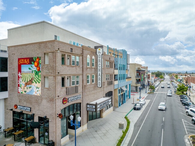
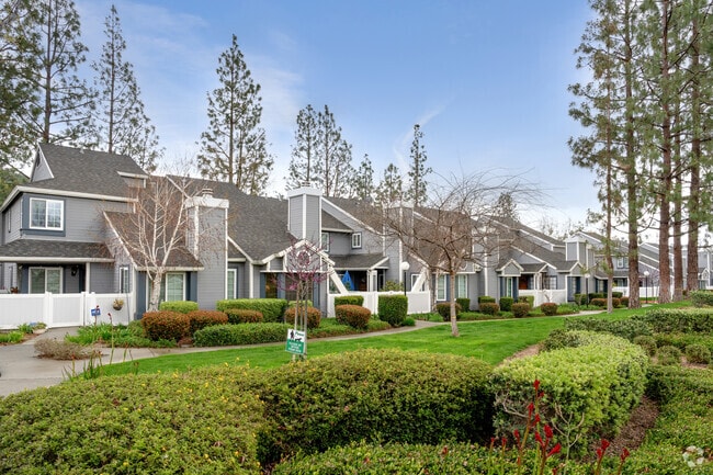
The heart of Downtown Azusa is lined with restaurants and retailers for residents to browse.
Median Household Income
$79,060
Average: $97,911
Education
11,510
Residents Have a Degree
Job Market
25,462
Workers Employed
Median Age
37 Years
Largest Age Group
25-34 Years
Approximately 16% of Residents
Under 20
24%
Over 65
14%
Housing Distribution
Azusa has more homeowners than renters.

Education Distribution
Review this city's overall education levels.

As of July 2026, the average apartment rent in Azusa, CA is $1,592 for a studio, $2,018 for one bedroom, $2,317 for two bedrooms, and $2,771 for three bedrooms. Apartment rent in Azusa has increased by 0.4% in the past year.
Explore how walkable, bikeable, drivable, and transit-friendly Azusa, CA is for everyday living.
Fairly Walkable
Walkability
Some Public Transit
Transit
Exceptionally Drivable
Drivability
Fairly Bikeable
Bikeability
Public
Grades K-5
460 Students

Victor F. Hodge Elementary School
Public
Grades K-5
460 Students
Public
Grades K-5
526 Students

Public
Grades K-5
526 Students
Public
Grades K-5
378 Students
Public
Grades 6-8
372 Students

Public
Grades 6-8
285 Students
Public
Grades 6-8
263 Students
Public
Grades 9-12
1,609 Students

Public
Grades 9-12
1,609 Students
Public
Grades 9-12
119 Students

† Our analysis of utilities, groceries, transportation, healthcare, home prices, and other goods and services is sourced from the Cost of Living Index, a respected benchmark published by the Council for Community and Economic Research (C2ER) that provides a thorough overview of living expenses across different regions.
Rent data is provided by CoStar Group’s Market Trend reports. As the industry leader in commercial real estate information, analytics, and news, CoStar conducts extensive research to produce and maintain a comprehensive database of commercial real estate information. We combine this data with public record to provide the most up-to-date rental information available.
Consumer goods, services, and home prices are sourced from the Cost of Living Index published by the Council for Community and Economic Research (C2ER). The data on this page is updated quarterly. It was last published in June 2026.
Demographic information comes from Neustar and combines detailed address data with U.S. Census and American Community Survey statistics to produce reliable local estimates.


