Median Age
47 Years
Largest Age Group
55-64 Years
Approximately 15% of Residents
Under 20
22%
Over 65
23%

Avg Rent
$2,892
Population
19,105
Renter Mix
25% Rent
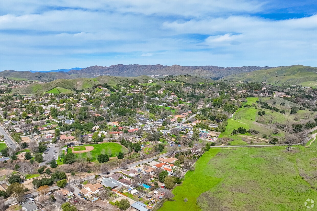
Agoura Hills sits in the eastern Conejo Valley, nestled between the Simi Hills and the Santa Monica Mountains, about 35 miles northwest of Downtown Los Angeles. The city incorporated in 1982 and has grown into a well-established community of just over 19,000 residents in Los Angeles County. Those searching for apartments for rent in Agoura Hills will find a range of options, from garden-style apartment communities to condos and townhomes, all within a setting that puts outdoor recreation right at your doorstep. The area is also known for its ties to Hollywood history; Paramount Ranch, a park where films and TV shows were produced for decades, sits nearby and is part of the Santa Monica Mountains National Recreation Area.
Renting in Agoura Hills means easy access to a mix of neighborhoods and amenities along and near the Ventura Freeway (US-101). Shopping centers like Kanan Plaza, Kanan Village, and the Shops at Oak Creek put everyday errands within a short drive. Renters who enjoy the outdoors have quick access to Malibu Creek State Park, just about four miles away, along with Chesebro and Palo Comado Canyon trails covering more than 4,000 acres in the nearby Simi Hills. The Pacific Coast beaches are roughly 12 miles south, making weekend trips to the water easy and convenient. Dining and retail options line the corridors near the freeway, keeping daily life well-supplied without a long commute.
For commuters, the US-101 Ventura Freeway runs through the southern edge of the city and connects directly to the broader Los Angeles metro area. Bob Hope Airport in Burbank is about 28 miles away, and Los Angeles International Airport is roughly 36 miles southeast. Nearby Metrolink commuter rail stations in Moorpark, Chatsworth, and Simi Valley offer an alternative to driving into the San Fernando Valley or beyond. Several colleges are within 20 miles, including Pepperdine University, California Lutheran University, and Pierce College. Agoura Hills offers a quieter pace compared to central Los Angeles while keeping renters connected to the jobs, culture, and conveniences of the greater LA region.
Leo Carrillo State Park is accessible to locals of Agoura Hills.
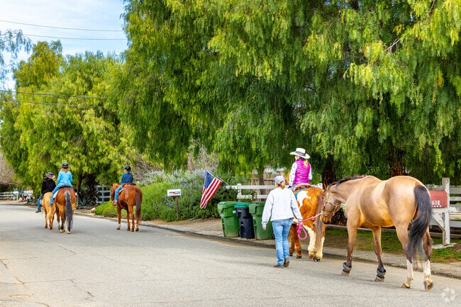
Find a thriving horse community in Agoura Hills
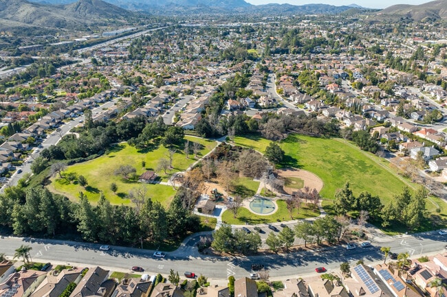
Agoura Hills features large green spaces, playgrounds, ball fields and more.
Residents enjoy walking their dogs in Chumash Park in Agoura Hills.
Malibu Farm Pier Cafe is a breakfast and lunch spot accessible near Agoura Hills.
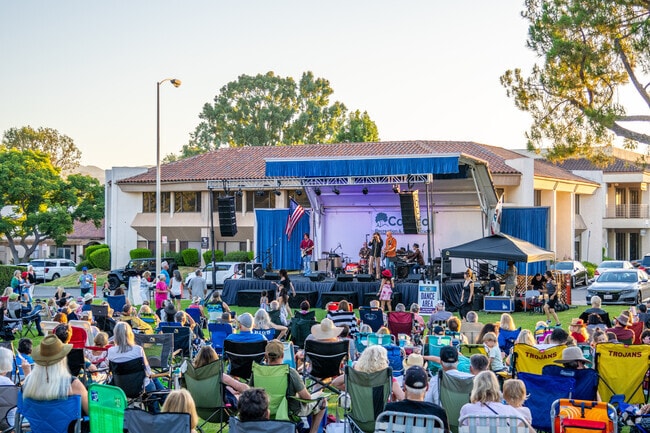
Agoura Hills has some great dining options, both indoors and outdoors.
Median Household Income
$145,224
Average: $175,301
Education
9,680
Residents Have a Degree
Job Market
9,880
Workers Employed
Median Age
47 Years
Largest Age Group
55-64 Years
Approximately 15% of Residents
Under 20
22%
Over 65
23%
Housing Distribution
Agoura Hills has more homeowners than renters.

Education Distribution
Review this city's overall education levels.

As of July 2026, the average apartment rent in Agoura Hills, CA is $2,127 for a studio, $2,879 for one bedroom, $3,492 for two bedrooms, and $3,928 for three bedrooms. Apartment rent in Agoura Hills has increased by 2.5% in the past year.
Explore how walkable, bikeable, drivable, and transit-friendly Agoura Hills, CA is for everyday living.
Fairly Walkable
Walkability
Limited Public Transit
Transit
Exceptionally Drivable
Drivability
Fairly Bikeable
Bikeability
Public
Grades K-5
510 Students

Public
Grades K-5
510 Students

Public
Grades K-5
372 Students
Public
Grades K-5
372 Students
Public
Grades K-5
360 Students
Public
Grades 6-8
795 Students

Public
Grades 6-8
795 Students

Public
Grades 9-12
1,709 Students
Public
Grades 9-12
1,709 Students
† Our analysis of utilities, groceries, transportation, healthcare, home prices, and other goods and services is sourced from the Cost of Living Index, a respected benchmark published by the Council for Community and Economic Research (C2ER) that provides a thorough overview of living expenses across different regions.
Rent data is provided by CoStar Group’s Market Trend reports. As the industry leader in commercial real estate information, analytics, and news, CoStar conducts extensive research to produce and maintain a comprehensive database of commercial real estate information. We combine this data with public record to provide the most up-to-date rental information available.
Consumer goods, services, and home prices are sourced from the Cost of Living Index published by the Council for Community and Economic Research (C2ER). The data on this page is updated quarterly. It was last published in June 2026.
Demographic information comes from Neustar and combines detailed address data with U.S. Census and American Community Survey statistics to produce reliable local estimates.


