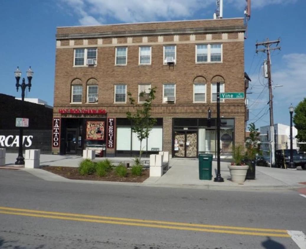
9 W Charlton St Unit 7 W. Charlton 301
Cincinnati, OH 45219
-
Bedrooms
1
-
Bathrooms
1
-
Square Feet
--
-
Available
Available Aug 1

About This Home
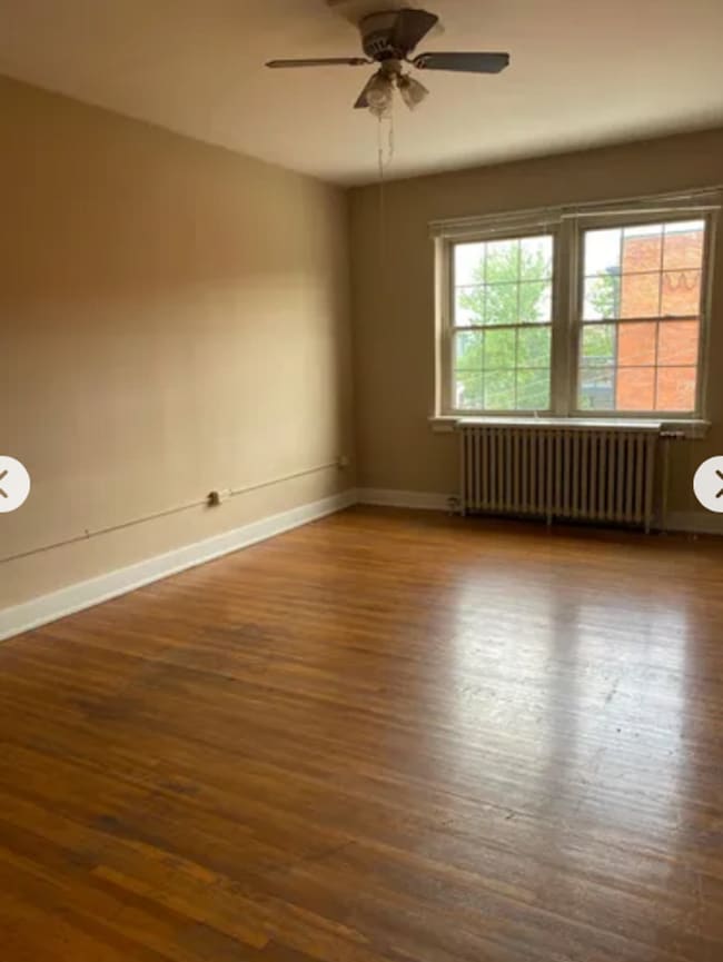
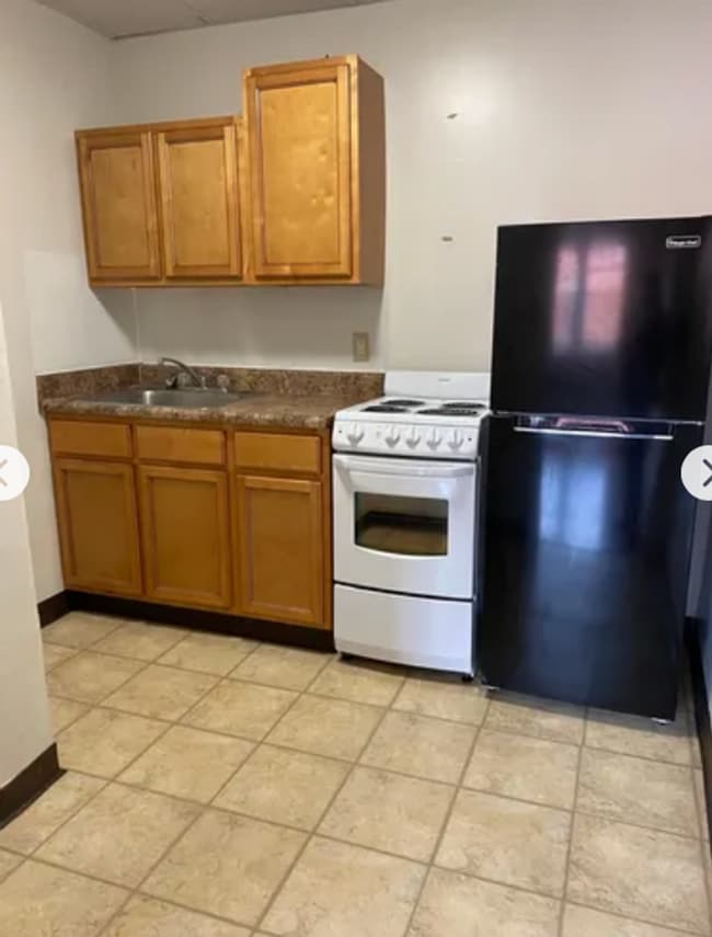
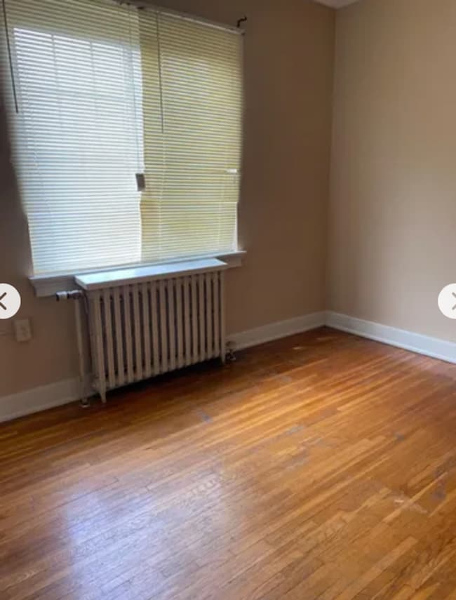
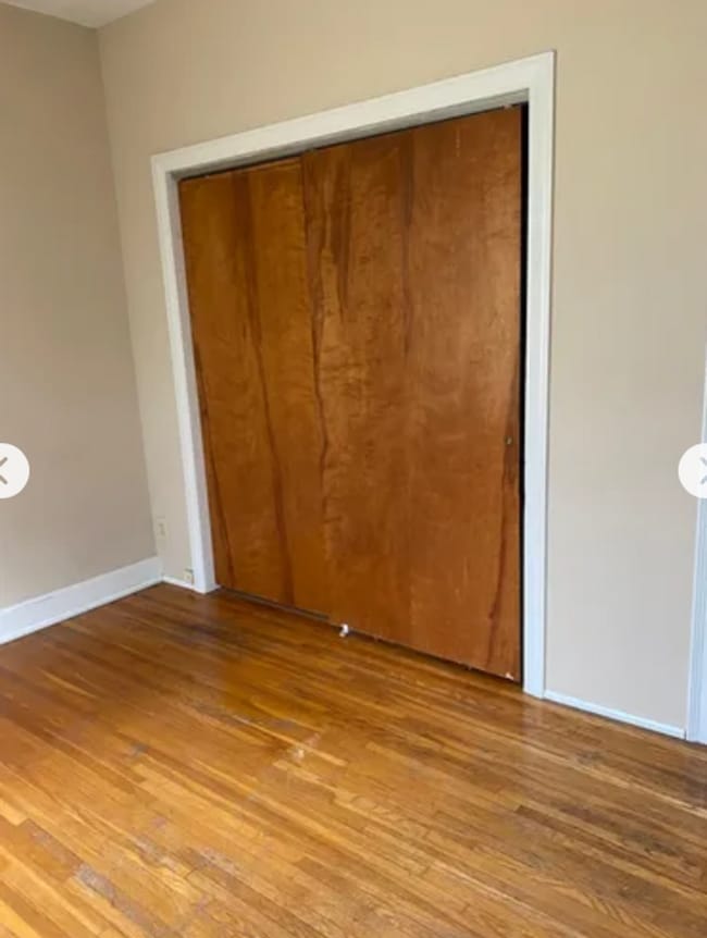
Great location near everything UC has to offer! Next to Hangover Easy. 1 bedroom, 1 bath with secured entry, hardwood floors, washer and dryer on site, internet ready. Off-street parking option through Star Parking next door. Sign a lease in next 30 days and qualify for half-off the security deposit. Contact us to schedule a showing or for any questions.
9 W Charlton St is an apartment community located in Hamilton County and the 45219 ZIP Code.
Contact
- Phone Number
- Contact
-
Source

Corryville is an up-and-coming community just four miles from Cincinnati’s Central Business District. The neighborhood is next to the University of Cincinnati campus, containing the school’s College of Medicine classrooms.
Because of its proximity to the university, Corryville has experienced rapid growth in the construction of new student apartments and trendy restaurants. Even with such development, the Mecklenburg Gardens restaurant continues to be a popular dining spot for locals since its opening in 1870.
Residents and students alike enjoy the many happy hour options on Short Vine Street. The Bogart’s theater is a cool landmark, known for its metal band concerts. Locals adore the walkability of Corryville, direct access to Interstate 71, and the nearby scenic landscapes of Burnet Woods.
Learn more about living in Corryville| Colleges & Universities | Distance | ||
|---|---|---|---|
| Colleges & Universities | Distance | ||
| Walk: | 9 min | 0.5 mi | |
| Walk: | 14 min | 0.8 mi | |
| Drive: | 9 min | 3.0 mi | |
| Drive: | 9 min | 3.2 mi |
Transportation options available in Cincinnati include Findlay Market-Race Station - Race & Elder, located 1.3 miles from 9 W Charlton St Unit 7 W. Charlton 301. 9 W Charlton St Unit 7 W. Charlton 301 is near Cincinnati/Northern Kentucky International, located 16.9 miles or 32 minutes away.
| Transit / Subway | Distance | ||
|---|---|---|---|
| Transit / Subway | Distance | ||
| Drive: | 3 min | 1.3 mi | |
| Drive: | 4 min | 1.4 mi | |
| Drive: | 4 min | 1.4 mi | |
| Drive: | 4 min | 1.5 mi | |
| Drive: | 5 min | 1.8 mi |
| Commuter Rail | Distance | ||
|---|---|---|---|
| Commuter Rail | Distance | ||
|
|
Drive: | 8 min | 2.7 mi |
| Airports | Distance | ||
|---|---|---|---|
| Airports | Distance | ||
|
Cincinnati/Northern Kentucky International
|
Drive: | 32 min | 16.9 mi |
Scores provided by
Traffic
ActiveAirport
CalmBusinesses
ActiveScores provided by
HowLoud What is a Sound Score Rating? A Sound Score Rating aggregates noise caused by vehicle traffic, airplane traffic and local sources. How It WorksTime and distance from 9 W Charlton St Unit 7 W. Charlton 301.
| Shopping Centers | Distance | ||
|---|---|---|---|
| Shopping Centers | Distance | ||
| Drive: | 4 min | 1.9 mi | |
| Drive: | 6 min | 2.0 mi | |
| Drive: | 5 min | 2.2 mi |
| Parks and Recreation | Distance | ||
|---|---|---|---|
| Parks and Recreation | Distance | ||
|
Cincinnati Zoo and Botanical Garden
|
Walk: | 16 min | 0.8 mi |
|
William H. Taft National Historic Site
|
Walk: | 16 min | 0.9 mi |
|
Trailside Nature Center
|
Walk: | 17 min | 0.9 mi |
|
Burnet Woods
|
Drive: | 3 min | 1.2 mi |
|
Eden Park
|
Drive: | 6 min | 2.3 mi |
| Hospitals | Distance | ||
|---|---|---|---|
| Hospitals | Distance | ||
| Walk: | 13 min | 0.7 mi | |
| Walk: | 16 min | 0.8 mi | |
| Walk: | 18 min | 1.0 mi |
| Military Bases | Distance | ||
|---|---|---|---|
| Military Bases | Distance | ||
| Drive: | 69 min | 51.7 mi | |
| Drive: | 75 min | 56.8 mi | |
| Drive: | 77 min | 60.0 mi |
9 W Charlton St Unit 7 W. Charlton 301 Photos
Nearby Apartments
Within 50 Miles of 9 W Charlton St Cincinnati, OH 45219
-
Williamsburg
200 W Galbraith Rd
Cincinnati, OH 45215
$857 - $2,752
1-3 Br 6.0 mi
-
The Farm at Taylor Mill
5142 Old Taylor Mill Rd
Taylor Mill, KY 41015
$1,240 - $1,845
1-2 Br 7.9 mi
-
Arbors of Anderson
4037 Mt Carmel Tobasco Rd
Cincinnati, OH 45255
$1,195 - $2,295
1-3 Br 11.9 mi
-
McCauly Crossing
10135 Crossing Dr
Cincinnati, OH 45241
$1,395 - $2,295
1-3 Br 14.0 mi
-
19Nineteen Promenade
1919 Promenade Cir
Union, KY 41091
$1,445 - $2,550
1-3 Br 14.9 mi
-
Wellington Place
8770 Wales Dr
Cincinnati, OH 45249
$1,595 - $2,095
1-2 Br 15.0 mi
What Are Walk Score®, Transit Score®, and Bike Score® Ratings?
Walk Score® measures the walkability of any address. Transit Score® measures access to public transit. Bike Score® measures the bikeability of any address.
What is a Sound Score Rating?
A Sound Score Rating aggregates noise caused by vehicle traffic, airplane traffic and local sources.

9 W Charlton St
Cincinnati, OH 45219