
1213 Walnut
1213 Walnut St,
Philadelphia, PA 19107
$1,995 - $7,115
Studio - 2 Beds
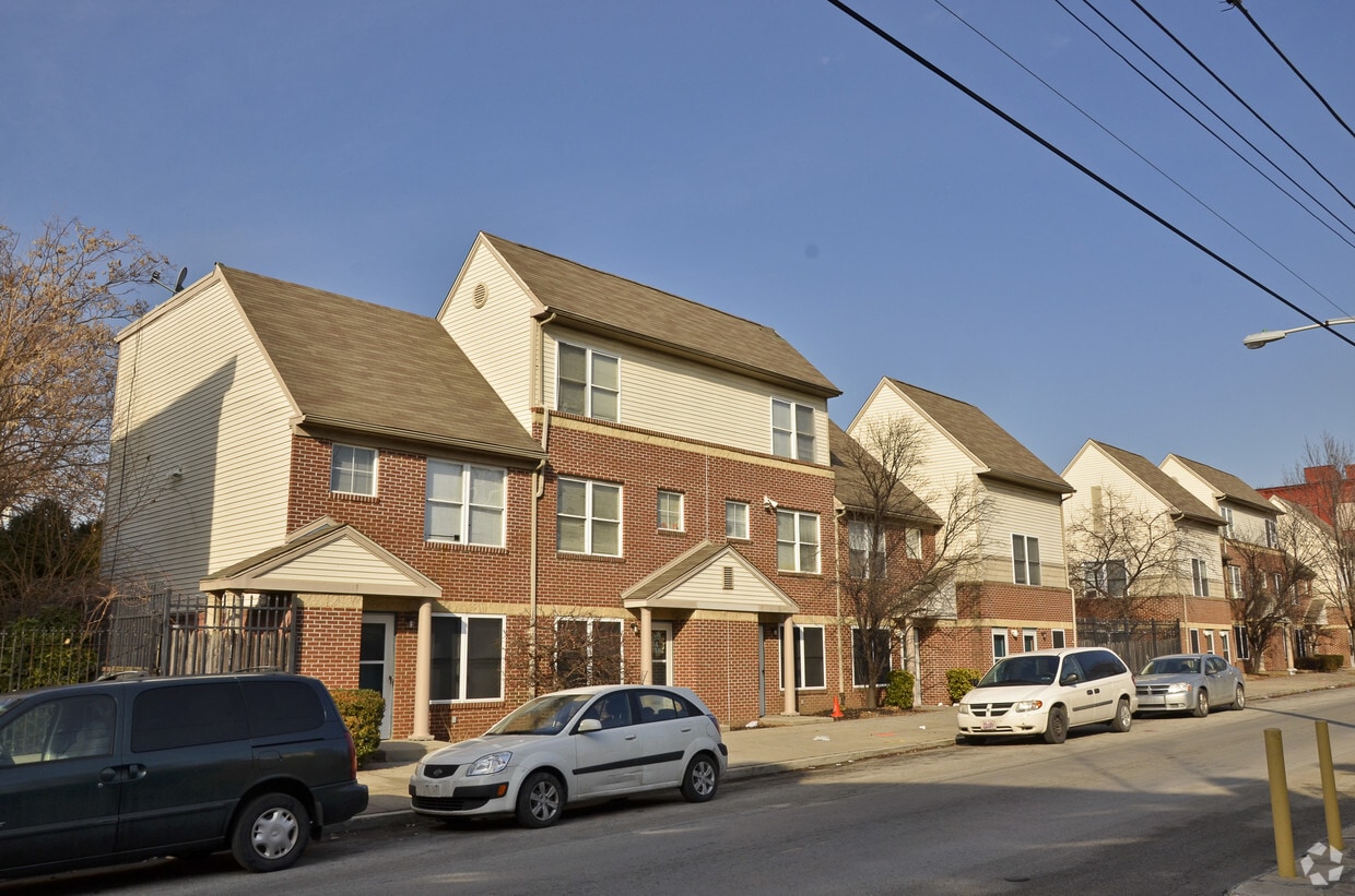
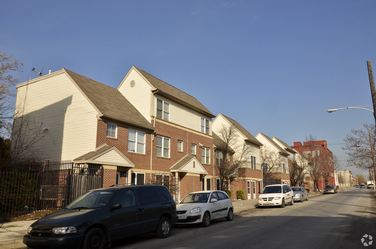
At Lillia Crippen Townhouses, experience great living. Based in the 19122 Zip code of Philadelphia on N. 6th St., renters have a quick connection to a number of enjoyable nearby attractions. Come by to view the available floorplans. The professional leasing staff is waiting to show you all that this community has in store. Stop by the leasing office to schedule your tour.
Lillia Crippen Townhouses is an apartment community located in Philadelphia County and the 19122 ZIP Code. This area is served by the The School District of Philadelphia attendance zone.
Tub/Shower
Heating
Oven
Range
Not to be confused with Northeast Philadelphia, North Philadelphia East encompasses the smaller subsets of Ludlow, Yorktown, West Kensington, Poplar, and Callowhill. This composite area runs from the Vine Street Expressway, stretching north to Erie Avenue. Broad Street acts as its eastern border, and the western edge runs a jagged line separating North Philadelphia East from the nearby Kensington, Port Richmond, and Fishtown neighborhoods. With such a long stretch of city, the neighborhood offers a diverse blend of important city landmarks, such as renowned musical venues the Electric Factory and Union Transfer, and Temple University, North Philadelphia's premiere site of higher learning.
Learn more about living in North Philadelphia EastCompare neighborhood and city base rent averages by bedroom.
| North Philadelphia East | Philadelphia, PA | |
|---|---|---|
| Studio | $1,484 | $1,429 |
| 1 Bedroom | $1,710 | $1,788 |
| 2 Bedrooms | $2,082 | $2,221 |
| 3 Bedrooms | $2,794 | $2,916 |
| Colleges & Universities | Distance | ||
|---|---|---|---|
| Colleges & Universities | Distance | ||
| Walk: | 11 min | 0.6 mi | |
| Drive: | 6 min | 2.0 mi | |
| Drive: | 5 min | 2.4 mi | |
| Drive: | 7 min | 2.5 mi |


Transportation options available in Philadelphia include Berks, located 0.6 mile from Lillia Crippen Townhouses. Lillia Crippen Townhouses is near Philadelphia International, located 13.9 miles or 24 minutes away, and Trenton Mercer, located 32.7 miles or 50 minutes away.
| Transit / Subway | Distance | ||
|---|---|---|---|
| Transit / Subway | Distance | ||
|
|
Walk: | 12 min | 0.6 mi |
| Walk: | 14 min | 0.7 mi | |
| Walk: | 14 min | 0.8 mi | |
| Walk: | 15 min | 0.8 mi | |
|
|
Walk: | 16 min | 0.9 mi |
| Commuter Rail | Distance | ||
|---|---|---|---|
| Commuter Rail | Distance | ||
|
|
Walk: | 6 min | 0.3 mi |
|
|
Drive: | 4 min | 1.5 mi |
|
|
Drive: | 5 min | 1.6 mi |
|
|
Drive: | 6 min | 2.0 mi |
|
|
Drive: | 7 min | 2.6 mi |
| Airports | Distance | ||
|---|---|---|---|
| Airports | Distance | ||
|
Philadelphia International
|
Drive: | 24 min | 13.9 mi |
|
Trenton Mercer
|
Drive: | 50 min | 32.7 mi |
Scores provided by
Traffic
-Airport
-Businesses
-Scores provided by
HowLoud What is a Sound Score Rating? A Sound Score Rating aggregates noise caused by vehicle traffic, airplane traffic and local sources. How It WorksTime and distance from Lillia Crippen Townhouses.
| Shopping Centers | Distance | ||
|---|---|---|---|
| Shopping Centers | Distance | ||
| Walk: | 16 min | 0.9 mi | |
| Walk: | 18 min | 1.0 mi | |
| Walk: | 18 min | 1.0 mi |
| Parks and Recreation | Distance | ||
|---|---|---|---|
| Parks and Recreation | Distance | ||
|
Wagner Free Institute of Science
|
Drive: | 3 min | 1.3 mi |
|
Edgar Allan Poe Nat'l Historic Site
|
Drive: | 4 min | 1.5 mi |
|
Independence National Historical Park
|
Drive: | 4 min | 2.0 mi |
|
The Academy of Natural Sciences
|
Drive: | 6 min | 2.9 mi |
|
Fels Planetarium
|
Drive: | 7 min | 3.4 mi |
| Hospitals | Distance | ||
|---|---|---|---|
| Hospitals | Distance | ||
| Drive: | 6 min | 2.1 mi | |
| Drive: | 6 min | 2.3 mi | |
| Drive: | 5 min | 2.4 mi |
| Military Bases | Distance | ||
|---|---|---|---|
| Military Bases | Distance | ||
| Drive: | 15 min | 8.3 mi | |
| Drive: | 39 min | 18.3 mi | |
| Drive: | 39 min | 20.4 mi |
What Are Walk Score®, Transit Score®, and Bike Score® Ratings?
Walk Score® measures the walkability of any address. Transit Score® measures access to public transit. Bike Score® measures the bikeability of any address.
What is a Sound Score Rating?
A Sound Score Rating aggregates noise caused by vehicle traffic, airplane traffic and local sources.


