
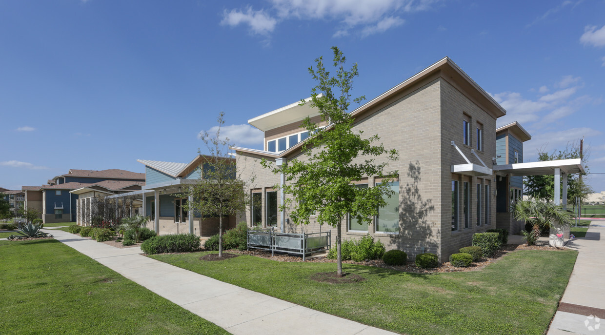
Lookout Hollow
16505 Lookout Hollow Cir,
Selma, TX 78154
$985 - $1,785
1-3 Beds

Find your new apartment at Liberty Pass. This community is located in the 78154 area of Selma. Let the knowledgeable leasing staff show you everything this community has in store. Compare 1 to 4 bedroom apartments, then call for current pricing. It's time to love where you live. Stop by for a visit today.
Liberty Pass is an apartment community located in Comal County and the 78154 ZIP Code. This area is served by the Schertz-Cibolo-U City Independent attendance zone.
Selma is a small city located about twenty miles northeast of Downtown San Antonio on I-35. The population has grown more than tenfold since the year 2000, with many folks drawn to the relaxed suburban atmosphere and easy access to the city. Randolph Air Force Base sits just south of town, making Selma a popular option for armed service personnel as well as civilian military employees. The local rental market predominately features single-family homes, with a handful of handful of apartment communities in the mix as well, providing options for every taste and lifestyle.
Learn more about living in Selma| Colleges & Universities | Distance | ||
|---|---|---|---|
| Colleges & Universities | Distance | ||
| Drive: | 12 min | 5.4 mi | |
| Drive: | 27 min | 15.4 mi | |
| Drive: | 28 min | 16.7 mi | |
| Drive: | 26 min | 17.6 mi |


What Are Walk Score®, Transit Score®, and Bike Score® Ratings?
Walk Score® measures the walkability of any address. Transit Score® measures access to public transit. Bike Score® measures the bikeability of any address.
What is a Sound Score Rating?
A Sound Score Rating aggregates noise caused by vehicle traffic, airplane traffic and local sources
17321 Lookout Rd
Selma, TX 78154


