
Fourth and U
2020 4th St,
Berkeley, CA 94710
$2,481 - $3,463
1-2 Beds


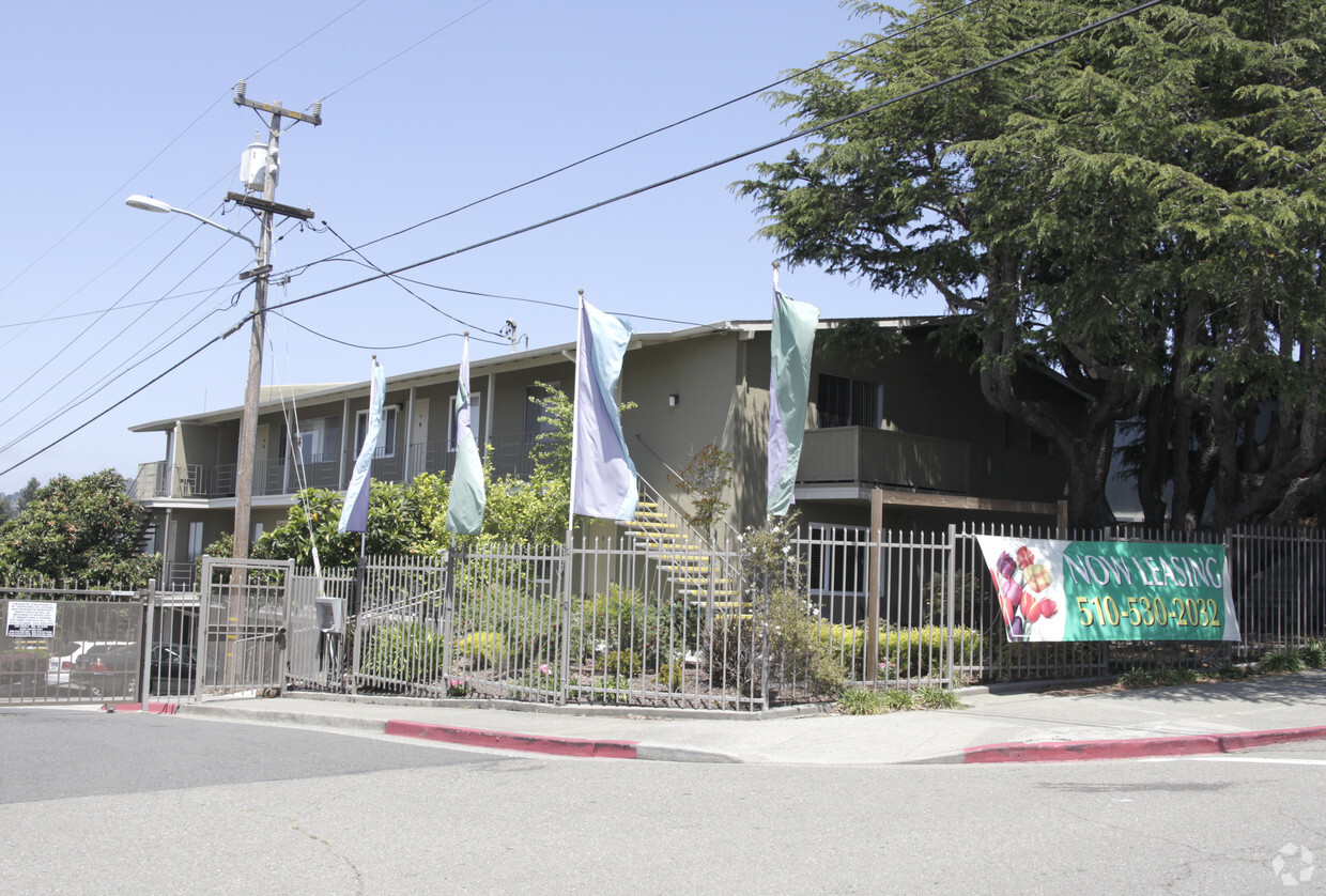
At Laurel Heights Apartments in Oakland, you've discovered your new place. Located at 3761-3773 High St. in Oakland, this community is an ideal place to move. The professional leasing team will be ready to help you find the perfect new apartment. Laurel Heights Apartments offers a variety of amenities including: high-speed internet access, patios, and convenient on-site parking options. At Laurel Heights Apartments you're right at home. Stop by the community today.
Laurel Heights Apartments is an apartment community located in Alameda County and the 94619 ZIP Code. This area is served by the Oakland Unified attendance zone.
Dishwasher
High Speed Internet Access
Microwave
Refrigerator
Located to the east of downtown Oakland in the lower Oakland Hills, Redwood Heights enjoys gentle sea breezes and maintains a balmy Mediterranean climate. Many of the two- and three-bedroom houses for rent in this scenic neighborhood have amazing views of San Francisco Bay to the west. Just to the east, the green slopes of Redwood Regional Park beckon hikers, joggers, picnickers, and horseback riders. Within the neighborhood, the Redwood Heights Recreation Center has abundant sports and activity programs for children as well as aerobics, Tai Chi, yoga, folk dancing, and other classes for adults.
When you need to go shopping, head to Lincoln Square, the go-to shopping mall for Redwood Heights residents for decades. Choose from an assortment of gourmet burgers at Sparky's Giant Burgers. For oriental cuisine, try some sweet and sour pork or succulent seafood at Hunan Yuan Restaurant.
Learn more about living in Redwood HeightsCompare neighborhood and city base rent averages by bedroom.
| Redwood Heights | Oakland, CA | |
|---|---|---|
| Studio | $1,473 | $1,701 |
| 1 Bedroom | $1,462 | $2,089 |
| 2 Bedrooms | $2,272 | $2,683 |
| 3 Bedrooms | $2,095 | $3,218 |
| Colleges & Universities | Distance | ||
|---|---|---|---|
| Colleges & Universities | Distance | ||
| Drive: | 5 min | 1.3 mi | |
| Drive: | 8 min | 4.8 mi | |
| Drive: | 10 min | 5.2 mi | |
| Drive: | 8 min | 5.3 mi |


Transportation options available in Oakland include Fruitvale Station, located 2.4 miles from Laurel Heights Apartments. Laurel Heights Apartments is near Metro Oakland International, located 7.3 miles or 12 minutes away, and San Francisco International, located 26.9 miles or 39 minutes away.
| Transit / Subway | Distance | ||
|---|---|---|---|
| Transit / Subway | Distance | ||
|
|
Drive: | 4 min | 2.4 mi |
|
|
Drive: | 7 min | 3.6 mi |
|
|
Drive: | 8 min | 5.4 mi |
|
|
Drive: | 9 min | 5.6 mi |
|
|
Drive: | 9 min | 5.7 mi |
| Commuter Rail | Distance | ||
|---|---|---|---|
| Commuter Rail | Distance | ||
|
|
Drive: | 9 min | 5.6 mi |
|
|
Drive: | 11 min | 7.9 mi |
|
|
Drive: | 14 min | 10.0 mi |
|
|
Drive: | 18 min | 12.5 mi |
| Drive: | 18 min | 12.5 mi |
| Airports | Distance | ||
|---|---|---|---|
| Airports | Distance | ||
|
Metro Oakland International
|
Drive: | 12 min | 7.3 mi |
|
San Francisco International
|
Drive: | 39 min | 26.9 mi |
Time and distance from Laurel Heights Apartments.
| Shopping Centers | Distance | ||
|---|---|---|---|
| Shopping Centers | Distance | ||
| Drive: | 3 min | 1.3 mi | |
| Drive: | 3 min | 1.6 mi | |
| Drive: | 3 min | 1.8 mi |
| Parks and Recreation | Distance | ||
|---|---|---|---|
| Parks and Recreation | Distance | ||
|
Roberts Regional Recreation Area
|
Drive: | 9 min | 3.7 mi |
|
Redwood Regional Park
|
Drive: | 8 min | 3.9 mi |
|
Chabot Space & Science Center
|
Drive: | 11 min | 4.3 mi |
|
Joaquin Miller Park
|
Drive: | 11 min | 4.5 mi |
|
Leona Canyon Regional Open Space Preserve
|
Drive: | 10 min | 4.9 mi |
| Hospitals | Distance | ||
|---|---|---|---|
| Hospitals | Distance | ||
| Drive: | 5 min | 2.4 mi | |
| Drive: | 4 min | 2.7 mi | |
| Drive: | 10 min | 4.4 mi |
| Military Bases | Distance | ||
|---|---|---|---|
| Military Bases | Distance | ||
| Drive: | 18 min | 9.0 mi | |
| Drive: | 18 min | 10.4 mi |
What Are Walk Score®, Transit Score®, and Bike Score® Ratings?
Walk Score® measures the walkability of any address. Transit Score® measures access to public transit. Bike Score® measures the bikeability of any address.
What is a Sound Score Rating?
A Sound Score Rating aggregates noise caused by vehicle traffic, airplane traffic and local sources
3761-3773 High St
Oakland, CA 94619


