
Williamsburg
200 W Galbraith Rd,
Cincinnati, OH 45215
$658 - $2,879
Studio - 3 Beds


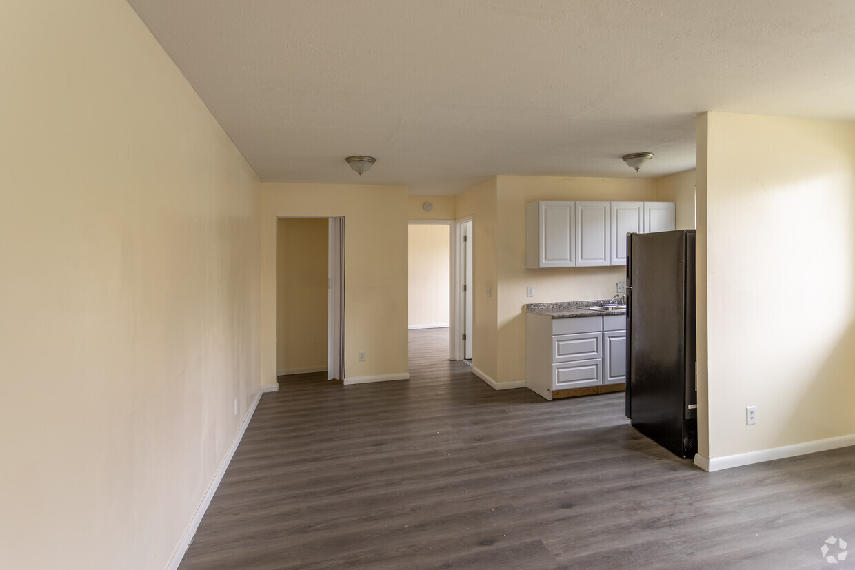
Walk In Closets, Secure Entry, Onsite Laundry, Blinds , Updated Bathroom and Kitchens. Hardwood floors including appliances and A/C Window units. Near shopping and public transportation. 24 Hour Approval process (If all documentation is submitted. Bring 4 consecutive weeks of your latest paystubs and 2 months banks statements so the application can be completed during the showing. Move in costs include: First months rent and a security deposit equal to one months rent.
Kings Pointe & Valley Woods Apartments is an apartment community located in Hamilton County and the 45225 ZIP Code. This area is served by the Cincinnati Public Schools attendance zone.
Unique Features
Air Conditioning
High Speed Internet Access
Hardwood Floors
Walk-In Closets
East Westwood is a small but popular neighborhood roughly six miles northwest of Downtown Cincinnati. It is close to everything you love about the city – the Cincinnati Zoo and Botanical Garden, the University of Cincinnati, and the Duke Energy Convention Center – while still providing a somewhat quieter place to call home. East Westwood is directly south of Interstate 74, making this area popular with commuters. The vast Mt. Airy Forest borders East Westwood on its north end, providing a fantastic back yard filled with hiking trails, a disc golf course, a dog park, the Maple Ridge Lodge, and the Unnewehr House. Single-family homes make up the bulk of the rental scene here, but there’s charm to be found in every listing in East Westwood.
Learn more about living in East WestwoodCompare neighborhood and city base rent averages by bedroom.
| East Westwood | Cincinnati, OH | |
|---|---|---|
| Studio | $409 | $1,068 |
| 1 Bedroom | $684 | $1,143 |
| 2 Bedrooms | $696 | $1,436 |
| 3 Bedrooms | $590 | $1,750 |
| Colleges & Universities | Distance | ||
|---|---|---|---|
| Colleges & Universities | Distance | ||
| Drive: | 11 min | 3.7 mi | |
| Drive: | 9 min | 4.0 mi | |
| Drive: | 11 min | 4.4 mi | |
| Drive: | 17 min | 7.5 mi |


Transportation options available in Cincinnati include Brewery District Station - Elm & Henry, located 4.7 miles from Kings Pointe & Valley Woods Apartments. Kings Pointe & Valley Woods Apartments is near Cincinnati/Northern Kentucky International, located 18.7 miles or 35 minutes away.
| Transit / Subway | Distance | ||
|---|---|---|---|
| Transit / Subway | Distance | ||
| Drive: | 11 min | 4.7 mi | |
| Drive: | 11 min | 4.8 mi | |
| Drive: | 11 min | 4.9 mi | |
| Drive: | 11 min | 4.9 mi | |
| Drive: | 12 min | 5.0 mi |
| Commuter Rail | Distance | ||
|---|---|---|---|
| Commuter Rail | Distance | ||
|
|
Drive: | 10 min | 4.7 mi |
| Airports | Distance | ||
|---|---|---|---|
| Airports | Distance | ||
|
Cincinnati/Northern Kentucky International
|
Drive: | 35 min | 18.7 mi |
Scores provided by
Traffic
-Airport
-Businesses
-Scores provided by
HowLoud What is a Sound Score Rating? A Sound Score Rating aggregates noise caused by vehicle traffic, airplane traffic and local sources. How It WorksTime and distance from Kings Pointe & Valley Woods Apartments.
| Shopping Centers | Distance | ||
|---|---|---|---|
| Shopping Centers | Distance | ||
| Drive: | 6 min | 2.4 mi | |
| Drive: | 9 min | 2.9 mi | |
| Drive: | 7 min | 2.9 mi |
| Parks and Recreation | Distance | ||
|---|---|---|---|
| Parks and Recreation | Distance | ||
|
Mt. Airy Forest
|
Drive: | 6 min | 2.3 mi |
|
Buttercup Valley
|
Drive: | 9 min | 3.1 mi |
|
Burnet Woods
|
Drive: | 9 min | 3.8 mi |
|
Trailside Nature Center
|
Drive: | 9 min | 3.9 mi |
|
LaBoiteaux Woods
|
Drive: | 11 min | 4.3 mi |
| Hospitals | Distance | ||
|---|---|---|---|
| Hospitals | Distance | ||
| Drive: | 8 min | 3.2 mi | |
| Drive: | 11 min | 4.4 mi | |
| Drive: | 11 min | 4.5 mi |
| Military Bases | Distance | ||
|---|---|---|---|
| Military Bases | Distance | ||
| Drive: | 71 min | 53.9 mi | |
| Drive: | 77 min | 59.0 mi | |
| Drive: | 80 min | 62.3 mi |
What Are Walk Score®, Transit Score®, and Bike Score® Ratings?
Walk Score® measures the walkability of any address. Transit Score® measures access to public transit. Bike Score® measures the bikeability of any address.
What is a Sound Score Rating?
A Sound Score Rating aggregates noise caused by vehicle traffic, airplane traffic and local sources.
3515 McHenry Ave
Cincinnati, OH 45225


