
Williamsburg
200 W Galbraith Rd,
Cincinnati, OH 45215
$718 - $2,776
Studio - 3 Beds

Find your home at Historic Kinsey Apartments in Cincinnati. The address for this community is on Maplewood Ave in Cincinnati. Here at this community, the professional leasing staff will assist you in finding your perfect apartment. Make a visit to see the available floorplan options. Contact us or drop by the leasing office to check the current floorplan availability today and see Historic Kinsey Apartments.
Historic Kinsey Apartments is an apartment community located in Hamilton County and the 45219 ZIP Code. This area is served by the Cincinnati Public Schools attendance zone.
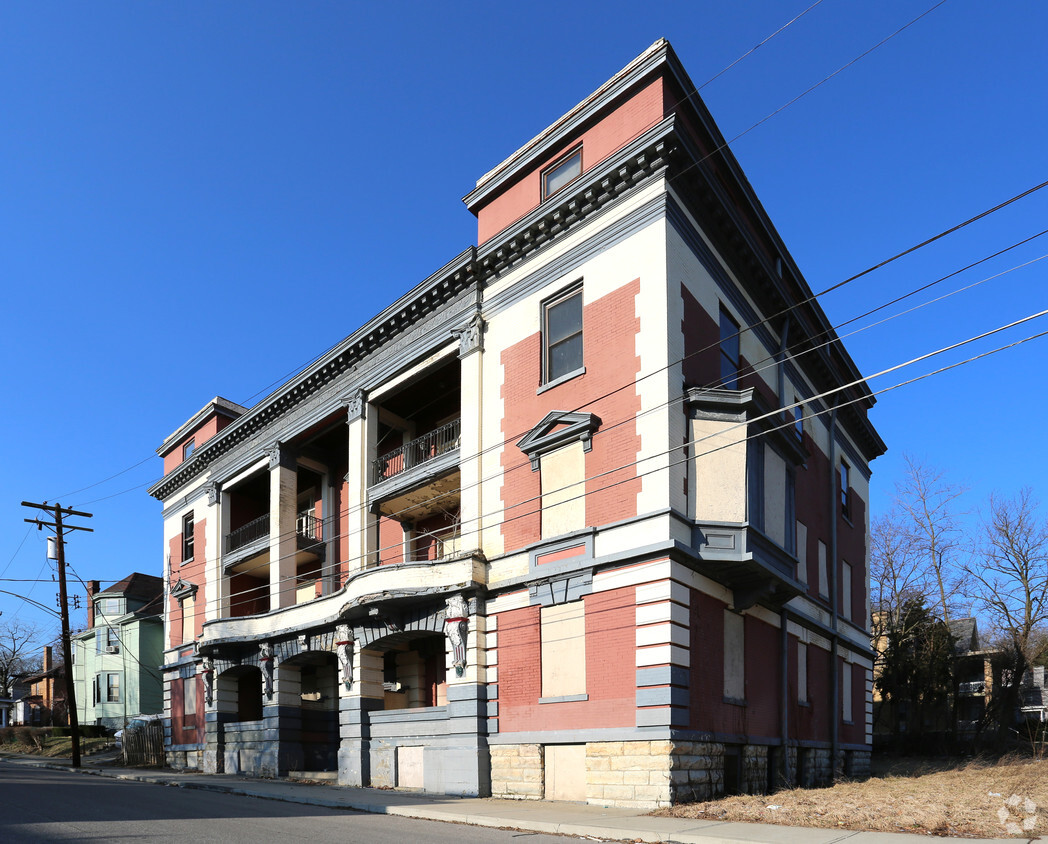
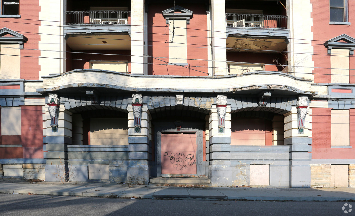
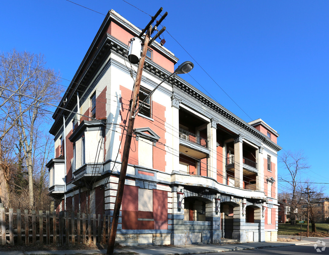
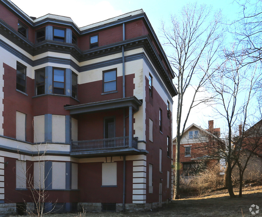
The Cincinnati neighborhood of Mount Auburn sits north of downtown and west of Interstate 71. The neighborhood, originally a hilltop escape from the crowded conditions of lower Downtown Cincinnati, gained national recognition as a historic district in 1973. The well-known community contains beautiful mansions dating back to 1819, including the home of former President William Howard Taft.
The community contains beautiful mansions formerly owned by a host of prominent residents. A number of historic buildings and sites dot the area, including the Mount Auburn Young Ladies Institute. The neighborhood also features the beloved ice cream parlor Graeter's Confectionary, as well as Christ Hospital.
Learn more about living in Mount AuburnCompare neighborhood and city base rent averages by bedroom.
| Mount Auburn | Cincinnati, OH | |
|---|---|---|
| Studio | $969 | $1,065 |
| 1 Bedroom | $1,365 | $1,142 |
| 2 Bedrooms | $1,828 | $1,435 |
| 3 Bedrooms | $1,345 | $1,754 |
| Colleges & Universities | Distance | ||
|---|---|---|---|
| Colleges & Universities | Distance | ||
| Drive: | 3 min | 1.2 mi | |
| Drive: | 3 min | 1.3 mi | |
| Drive: | 8 min | 2.8 mi | |
| Drive: | 11 min | 3.8 mi |


Transportation options available in Cincinnati include Findlay Market-Race Station - Race & Elder, located 1.4 miles from Historic Kinsey Apartments. Historic Kinsey Apartments is near Cincinnati/Northern Kentucky International, located 16.3 miles or 30 minutes away.
| Transit / Subway | Distance | ||
|---|---|---|---|
| Transit / Subway | Distance | ||
| Drive: | 4 min | 1.4 mi | |
| Drive: | 4 min | 1.5 mi | |
| Drive: | 5 min | 1.5 mi | |
| Drive: | 5 min | 1.6 mi | |
| Drive: | 6 min | 1.9 mi |
| Commuter Rail | Distance | ||
|---|---|---|---|
| Commuter Rail | Distance | ||
|
|
Drive: | 9 min | 2.8 mi |
| Airports | Distance | ||
|---|---|---|---|
| Airports | Distance | ||
|
Cincinnati/Northern Kentucky International
|
Drive: | 30 min | 16.3 mi |
Scores provided by
Traffic
-Airport
-Businesses
-Scores provided by
HowLoud What is a Sound Score Rating? A Sound Score Rating aggregates noise caused by vehicle traffic, airplane traffic and local sources. How It WorksTime and distance from Historic Kinsey Apartments.
| Shopping Centers | Distance | ||
|---|---|---|---|
| Shopping Centers | Distance | ||
| Drive: | 6 min | 2.1 mi | |
| Drive: | 7 min | 2.4 mi | |
| Drive: | 6 min | 2.6 mi |
| Parks and Recreation | Distance | ||
|---|---|---|---|
| Parks and Recreation | Distance | ||
|
William H. Taft National Historic Site
|
Walk: | 12 min | 0.6 mi |
|
Krohn Conservatory
|
Drive: | 4 min | 1.5 mi |
|
Trailside Nature Center
|
Drive: | 5 min | 1.6 mi |
|
Cincinnati Zoo and Botanical Garden
|
Drive: | 4 min | 1.6 mi |
|
Eden Park
|
Drive: | 4 min | 1.7 mi |
| Hospitals | Distance | ||
|---|---|---|---|
| Hospitals | Distance | ||
| Walk: | 9 min | 0.5 mi | |
| Walk: | 17 min | 0.9 mi | |
| Walk: | 19 min | 1.0 mi |
| Military Bases | Distance | ||
|---|---|---|---|
| Military Bases | Distance | ||
| Drive: | 71 min | 52.0 mi | |
| Drive: | 77 min | 57.1 mi | |
| Drive: | 79 min | 60.4 mi |
What Are Walk Score®, Transit Score®, and Bike Score® Ratings?
Walk Score® measures the walkability of any address. Transit Score® measures access to public transit. Bike Score® measures the bikeability of any address.
What is a Sound Score Rating?
A Sound Score Rating aggregates noise caused by vehicle traffic, airplane traffic and local sources.

2415 Maplewood Ave
Cincinnati, OH 45219


