
sageLA - Brand New
200 N Vermont Ave,
Los Angeles, CA 90004
Studio - 2 Beds $2,345 - $5,017
Located in the heart of Westwood Village, Gayley + Lindbrook Apartments is an exclusive lifestyle community just recently completed in 2015. Designed by renowned Nadel Architects, Gayley & Lindbrook Apartments feature a dramatic and highly-articulated limestone and brick exterior with luxuriously appointed interiors in a variety of floor plans, along with handy amenities like a rooftop soaking pool, subterranean parking and social spaces.At Gayley + Lindbrook, we believe a true community shouldn't be gated or fenced in, it should seamlessly meld into its surroundings. That's why we chose LA's beautiful Westwood neighborhood for our location. Westwood is part of the Wilshire Corridor, a beautifully planned commercial shopping district in close proximity to the UCLA Campus. A straight shot down Santa Monica Boulevard to the beaches and in the shadow of the Hollywood Hills, Westwood is centrally located.
Gayley + Lindbrook is an apartment community located in Los Angeles County and the 90024 ZIP Code. This area is served by the Los Angeles Unified attendance zone.
Pool
Roof Terrace
Controlled Access
Business Center
Washer/Dryer
Air Conditioning
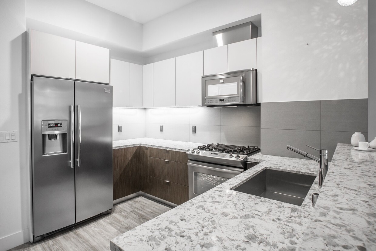
Dishwasher
High Speed Internet Access
Walk-In Closets
Microwave
Refrigerator
Disposal
Home to UCLA, Westwood lies on the west side of the city and is considered to be one of Los Angeles’ premier neighborhoods. Bordered by Beverly Hills, Bel Air, Brentwood, and Century City, multimillion dollar homes populate the landscape and students pay a premium to rent near campus.
The university itself serves as a major cultural center for the community, including on-campus attractions (such as the Fowler Museum and the Franklin D. Murphy Sculpture Garden) and university-affiliated venues off-campus (The Hammer Museum, the Geffen Playhouse), as well as the presence of thousands of students and faculty members throughout the neighborhood.
Directly south of campus, Westwood Village is a historic shopping district that features blocks of restaurants and businesses catering to both students and the neighborhood’s larger workforce. Many prominent corporations and law offices are found along Wilshire Boulevard, one of the busiest east-west transit corridors across the city.
Learn more about living in Westwood| Colleges & Universities | Distance | ||
|---|---|---|---|
| Colleges & Universities | Distance | ||
| Walk: | 12 min | 0.6 mi | |
| Drive: | 8 min | 3.1 mi | |
| Drive: | 9 min | 4.2 mi | |
| Drive: | 15 min | 5.0 mi |


Transportation options available in Los Angeles include Westwood/Rancho Park, located 2.2 miles from Gayley + Lindbrook. Gayley + Lindbrook is near Los Angeles International, located 10.6 miles or 17 minutes away, and Bob Hope, located 17.5 miles or 26 minutes away.
| Transit / Subway | Distance | ||
|---|---|---|---|
| Transit / Subway | Distance | ||
|
|
Drive: | 6 min | 2.2 mi |
| Drive: | 5 min | 2.3 mi | |
|
|
Drive: | 7 min | 3.9 mi |
|
|
Drive: | 9 min | 4.7 mi |
|
|
Drive: | 9 min | 5.1 mi |
| Commuter Rail | Distance | ||
|---|---|---|---|
| Commuter Rail | Distance | ||
|
|
Drive: | 20 min | 13.8 mi |
|
|
Drive: | 27 min | 13.8 mi |
|
|
Drive: | 26 min | 17.5 mi |
|
|
Drive: | 26 min | 18.3 mi |
| Drive: | 27 min | 18.3 mi |
| Airports | Distance | ||
|---|---|---|---|
| Airports | Distance | ||
|
Los Angeles International
|
Drive: | 17 min | 10.6 mi |
|
Bob Hope
|
Drive: | 26 min | 17.5 mi |
Time and distance from Gayley + Lindbrook.
| Shopping Centers | Distance | ||
|---|---|---|---|
| Shopping Centers | Distance | ||
| Walk: | 2 min | 0.0 mi | |
| Walk: | 1 min | 0.1 mi | |
| Walk: | 2 min | 0.1 mi |
| Parks and Recreation | Distance | ||
|---|---|---|---|
| Parks and Recreation | Distance | ||
|
Mathias Botanical Garden
|
Walk: | 8 min | 0.4 mi |
|
Hannah Carter Japanese Garden
|
Drive: | 6 min | 2.2 mi |
|
Virginia Robinson Gardens
|
Drive: | 10 min | 3.7 mi |
|
Zimmer Children's Museum
|
Drive: | 10 min | 5.0 mi |
|
Will Rogers State Historic Park
|
Drive: | 17 min | 6.5 mi |
| Hospitals | Distance | ||
|---|---|---|---|
| Hospitals | Distance | ||
| Walk: | 6 min | 0.3 mi | |
| Walk: | 7 min | 0.4 mi | |
| Drive: | 8 min | 3.2 mi |
| Military Bases | Distance | ||
|---|---|---|---|
| Military Bases | Distance | ||
| Drive: | 18 min | 13.2 mi |
What Are Walk Score®, Transit Score®, and Bike Score® Ratings?
Walk Score® measures the walkability of any address. Transit Score® measures access to public transit. Bike Score® measures the bikeability of any address.
What is a Sound Score Rating?
A Sound Score Rating aggregates noise caused by vehicle traffic, airplane traffic and local sources

1140 Gayley Ave
Los Angeles, CA 90024


 - AVA Burbank")
 - Violet on Virgil")