
Metro Pointe
6609 Eberle Dr,
Baltimore, MD 21215
$1,174 - $2,112
1-3 Beds

*Please note there are minimum and maximum income requirements for this community. Our professional staff strives to provide service, satisfaction and value to each resident who is seeking a quality apartment lifestyle. Subsidies for monthly rent are available. Restrictions apply and applicants must qualify. Located nearby: University of Maryland Med Center, Charing Cross Shopping Center, Westview Shopping Center, Seoul Plaza, Kernan Hospital, Catonsville Primary Care Center, Seton Medical Group, CVS Pharmacy/Photo, Rite Aid, Spring Grove Alumni Museum, Aziza International Supermarket, Giant Food, Hunting Hills Swim Club, Gwynns Falls/Leakin Park, AMF Woodlawn Lanes, Avalon Yoga and Wellness Center, Caton's Pizza Shop, Mr. Pizza & Mrs. Wings, Subway, Burger King, McDonald's & Pat's Pizza & Pasta.
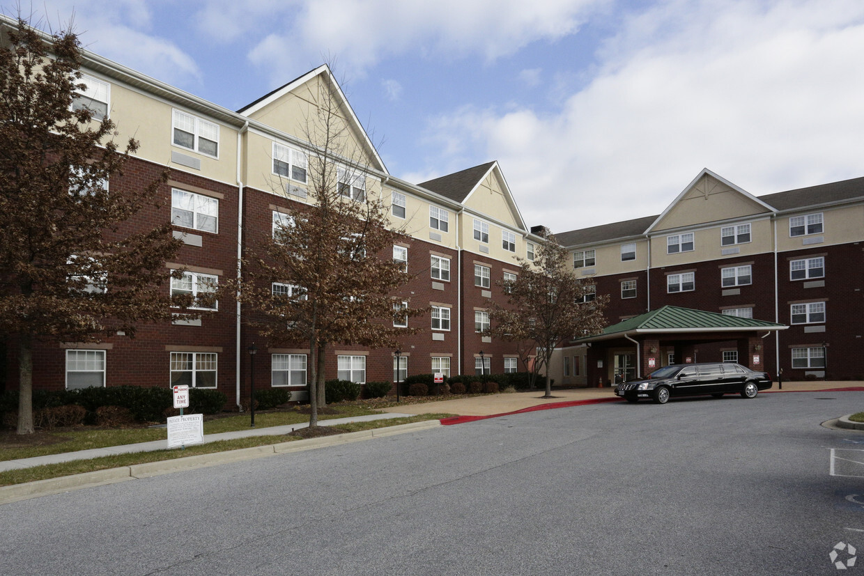
Fairspring Senior Apartments, 62+ is an apartment community located in Baltimore County and the 21207 ZIP Code.
Unique Features
Laundry Facilities
Elevator
Controlled Access
Recycling
Air Conditioning
Dishwasher
Refrigerator
Disposal
Gwynn Oak is a large suburban area just northwest of Baltimore. The community is largely defined by heavily-wooded residential neighborhoods, with a diverse mix of apartments, condos, and single-family homes making up the local rental market. Public parks and golf courses are all around, providing great opportunities for residents to spend quality time outdoors; in particular, Druid Hill Park sits just a few blocks to the east, offering trails, sports fields, the Maryland Zoo, and the Rawlings Conservatory. With Downtown Baltimore just a short drive away, Gwynn Oak is a highly popular area for commuters to call home.
Learn more about living in Gwynn Oak| Colleges & Universities | Distance | ||
|---|---|---|---|
| Colleges & Universities | Distance | ||
| Drive: | 10 min | 4.1 mi | |
| Drive: | 12 min | 4.7 mi | |
| Drive: | 14 min | 5.3 mi | |
| Drive: | 15 min | 5.9 mi |
Transportation options available in Gwynn Oak include Rogers Avenue, located 4.4 miles from Fairspring Senior Apartments, 62+. Fairspring Senior Apartments, 62+ is near Baltimore/Washington International Thurgood Marshall, located 10.1 miles or 18 minutes away.
| Transit / Subway | Distance | ||
|---|---|---|---|
| Transit / Subway | Distance | ||
| Drive: | 13 min | 4.4 mi | |
| Drive: | 14 min | 4.9 mi | |
| Drive: | 15 min | 4.9 mi | |
| Drive: | 14 min | 5.1 mi | |
| Drive: | 16 min | 5.9 mi |
| Commuter Rail | Distance | ||
|---|---|---|---|
| Commuter Rail | Distance | ||
| Drive: | 12 min | 4.3 mi | |
| Drive: | 12 min | 5.7 mi | |
| Drive: | 12 min | 5.7 mi | |
| Drive: | 16 min | 6.6 mi | |
| Drive: | 14 min | 7.1 mi |
| Airports | Distance | ||
|---|---|---|---|
| Airports | Distance | ||
|
Baltimore/Washington International Thurgood Marshall
|
Drive: | 18 min | 10.1 mi |
Scores provided by
Traffic
-Airport
-Businesses
-Scores provided by
HowLoud What is a Sound Score Rating? A Sound Score Rating aggregates noise caused by vehicle traffic, airplane traffic and local sources. How It WorksTime and distance from Fairspring Senior Apartments, 62+.
| Shopping Centers | Distance | ||
|---|---|---|---|
| Shopping Centers | Distance | ||
| Walk: | 8 min | 0.4 mi | |
| Walk: | 8 min | 0.4 mi | |
| Walk: | 13 min | 0.7 mi |
| Parks and Recreation | Distance | ||
|---|---|---|---|
| Parks and Recreation | Distance | ||
|
Carrie Murray Nature Center
|
Drive: | 6 min | 2.2 mi |
|
Gwynns Falls - Leakin Park
|
Drive: | 6 min | 2.3 mi |
|
Gwynns Falls Trail
|
Drive: | 7 min | 2.6 mi |
|
Benjamin Banneker Historical Park and Museum
|
Drive: | 11 min | 4.1 mi |
|
Banneker Planetarium
|
Drive: | 10 min | 4.1 mi |
| Hospitals | Distance | ||
|---|---|---|---|
| Hospitals | Distance | ||
| Drive: | 5 min | 1.9 mi | |
| Drive: | 7 min | 3.0 mi | |
| Drive: | 12 min | 4.1 mi |
| Military Bases | Distance | ||
|---|---|---|---|
| Military Bases | Distance | ||
| Drive: | 32 min | 18.1 mi |

Pets Allowed Fitness Center Pool Dishwasher In Unit Washer & Dryer
What Are Walk Score®, Transit Score®, and Bike Score® Ratings?
Walk Score® measures the walkability of any address. Transit Score® measures access to public transit. Bike Score® measures the bikeability of any address.
What is a Sound Score Rating?
A Sound Score Rating aggregates noise caused by vehicle traffic, airplane traffic and local sources.
1121 Saint Agnes Ln
Gwynn Oak, MD 21207


