
The Vitagraph
1277 E 14th St,
Brooklyn, NY 11230
$3,325 - $4,695
1-3 Beds
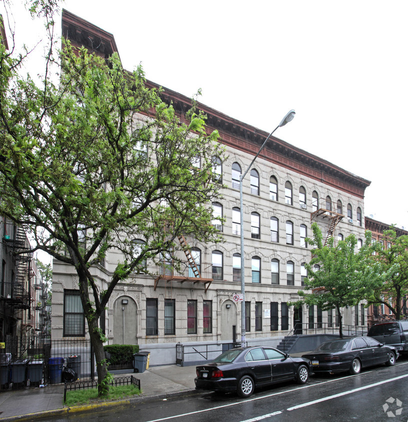
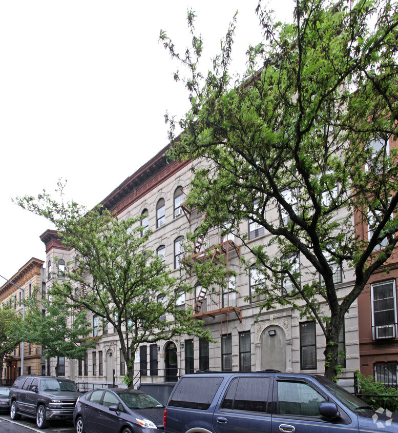
Dean North Apartments is ready to be your home. This apartment community is located at 1061-1067 Dean St. in the 11216 area of Brooklyn. Be sure to come for a visit to check out the current floorplan options. The leasing team is waiting to show you all that this community has to offer. Stop by the leasing office to find out the current floorplan availability.
Dean North Apartments is an apartment community located in Kings County and the 11216 ZIP Code. This area is served by the New York City Geographic District #17 attendance zone.
Crown Heights is a central neighborhood in New York’s bustling borough of Brooklyn. Just minutes from the Brooklyn Botanic Garden and the Brooklyn Museum, Crown Heights’ residents have convenient access to some of Brooklyn’s greatest attractions.
Take the whole family to the Brooklyn Children’s Museum to explore the world’s first children’s museum, opened in 1899. Many community parks are available in the neighborhood, such as St. Johns Park, equipped with ball fields, basketball courts, and a recreation center. Enjoy a handcrafted burger paired with a craft beer at Boeuf & Bun, an upbeat local spot in Crown Heights. There’s a variety of apartments and condos available for rent in this central Brooklyn neighborhood.
Learn more about living in Crown HeightsCompare neighborhood and city base rent averages by bedroom.
| Crown Heights | Brooklyn, NY | |
|---|---|---|
| Studio | $2,112 | $2,660 |
| 1 Bedroom | $2,603 | $2,976 |
| 2 Bedrooms | $3,115 | $3,914 |
| 3 Bedrooms | $2,861 | $4,819 |
| Colleges & Universities | Distance | ||
|---|---|---|---|
| Colleges & Universities | Distance | ||
| Walk: | 16 min | 0.9 mi | |
| Drive: | 5 min | 1.4 mi | |
| Drive: | 4 min | 1.6 mi | |
| Drive: | 5 min | 2.2 mi |


Transportation options available in Brooklyn include Franklin Avenue (A,C,S Line), located 0.3 mile from Dean North Apartments. Dean North Apartments is near LaGuardia, located 10.4 miles or 20 minutes away, and John F Kennedy International, located 12.5 miles or 23 minutes away.
| Transit / Subway | Distance | ||
|---|---|---|---|
| Transit / Subway | Distance | ||
|
|
Walk: | 5 min | 0.3 mi |
|
|
Walk: | 6 min | 0.4 mi |
|
|
Walk: | 9 min | 0.5 mi |
|
|
Walk: | 10 min | 0.5 mi |
|
|
Drive: | 4 min | 1.2 mi |
| Commuter Rail | Distance | ||
|---|---|---|---|
| Commuter Rail | Distance | ||
|
|
Walk: | 8 min | 0.5 mi |
|
|
Drive: | 4 min | 1.5 mi |
|
|
Drive: | 9 min | 2.8 mi |
|
|
Drive: | 14 min | 6.1 mi |
|
|
Drive: | 15 min | 6.4 mi |
| Airports | Distance | ||
|---|---|---|---|
| Airports | Distance | ||
|
LaGuardia
|
Drive: | 20 min | 10.4 mi |
|
John F Kennedy International
|
Drive: | 23 min | 12.5 mi |
Time and distance from Dean North Apartments.
| Shopping Centers | Distance | ||
|---|---|---|---|
| Shopping Centers | Distance | ||
| Drive: | 5 min | 1.7 mi | |
| Drive: | 7 min | 2.3 mi |
| Parks and Recreation | Distance | ||
|---|---|---|---|
| Parks and Recreation | Distance | ||
|
Crispus Attucks Playground
|
Walk: | 8 min | 0.5 mi |
|
Brooklyn Children's Museum
|
Walk: | 13 min | 0.7 mi |
|
St. John's Park
|
Drive: | 5 min | 1.3 mi |
|
Brooklyn Botanic Garden
|
Drive: | 4 min | 1.3 mi |
|
Hattie Carthan Garden
|
Drive: | 4 min | 1.3 mi |
| Hospitals | Distance | ||
|---|---|---|---|
| Hospitals | Distance | ||
| Drive: | 4 min | 1.2 mi | |
| Drive: | 5 min | 2.0 mi | |
| Drive: | 7 min | 2.4 mi |
| Military Bases | Distance | ||
|---|---|---|---|
| Military Bases | Distance | ||
| Drive: | 17 min | 6.9 mi | |
| Drive: | 19 min | 7.3 mi |
What Are Walk Score®, Transit Score®, and Bike Score® Ratings?
Walk Score® measures the walkability of any address. Transit Score® measures access to public transit. Bike Score® measures the bikeability of any address.
What is a Sound Score Rating?
A Sound Score Rating aggregates noise caused by vehicle traffic, airplane traffic and local sources

1061-1067 Dean St
Brooklyn, NY 11216


