
Fourth and U
2020 4th St,
Berkeley, CA 94710
$2,426 - $3,385
1-2 Beds


Find a new home at City Towers. The 94607 location has much to offer its residents. Come by to check out the current floorplan options. The professional leasing staff is ready to help you find your perfect new apartment. Drop by to check the current floorplan availability.
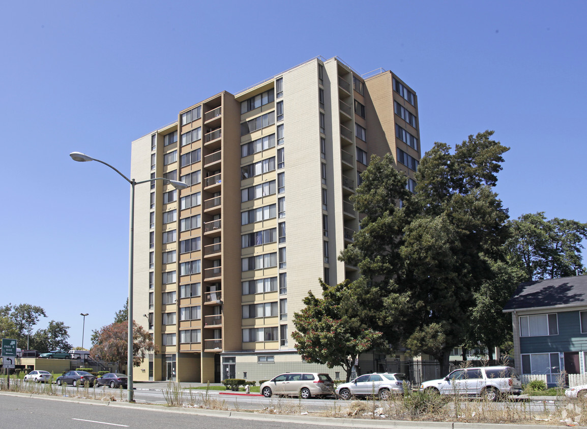
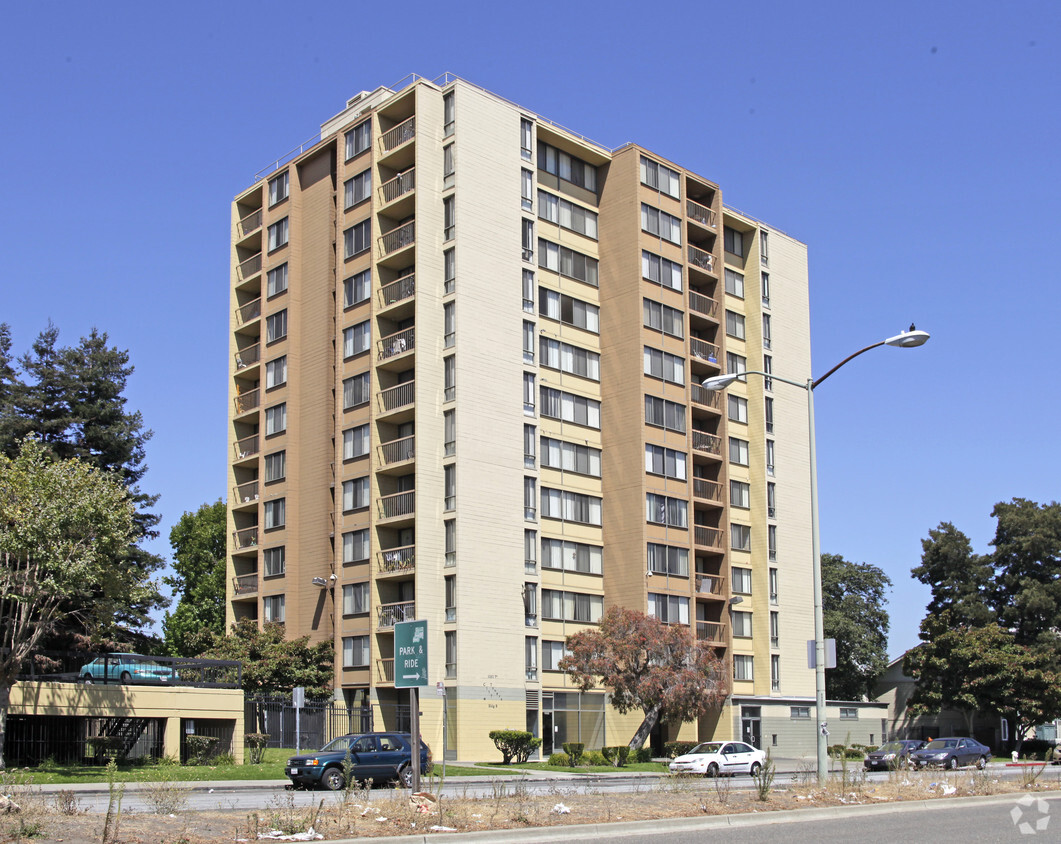
City Towers is an apartment community located in Alameda County and the 94607 ZIP Code. This area is served by the Oakland Unified attendance zone.
High Speed Internet Access
Refrigerator
Smoke Free
Heating
A Bay Area locale on the rise, West Oakland is poised to be one of the most popular Oakland neighborhoods for its relatively affordable rentals and proximity to public transit. West Oakland is tucked into the area formed by Interstate 880, 980, and 580 complex just across the bay from San Francisco. Oakland’s recent swell in popularity has made West Oakland a common spot for the commuting crowd outside of the Golden Gate City. You’ll find a few parks and plenty of coffee shops and trendy restaurants just off the industrial areas that line the bay.
Modern apartment rentals in mid-rise buildings and charming homes in long-standing houses showcase the contrast of this Bay Area neighborhood. Commuting into San Francisco takes just 15 minutes via car, or 20 via BART, the Bay Area’s public transportation system.
Learn more about living in West Oakland| Colleges & Universities | Distance | ||
|---|---|---|---|
| Colleges & Universities | Distance | ||
| Drive: | 3 min | 1.5 mi | |
| Drive: | 4 min | 2.2 mi | |
| Drive: | 6 min | 2.6 mi | |
| Drive: | 6 min | 2.7 mi |


Transportation options available in Oakland include West Oakland Station, located 0.5 mile from City Towers. City Towers is near Metro Oakland International, located 9.9 miles or 15 minutes away, and San Francisco International, located 22.5 miles or 34 minutes away.
| Transit / Subway | Distance | ||
|---|---|---|---|
| Transit / Subway | Distance | ||
|
|
Walk: | 10 min | 0.5 mi |
|
|
Drive: | 2 min | 1.2 mi |
|
|
Drive: | 2 min | 1.3 mi |
|
|
Drive: | 3 min | 1.6 mi |
|
|
Drive: | 4 min | 1.6 mi |
| Commuter Rail | Distance | ||
|---|---|---|---|
| Commuter Rail | Distance | ||
|
|
Drive: | 3 min | 1.5 mi |
|
|
Drive: | 8 min | 3.0 mi |
|
|
Drive: | 10 min | 6.3 mi |
| Drive: | 15 min | 10.0 mi | |
| Drive: | 15 min | 10.1 mi |
| Airports | Distance | ||
|---|---|---|---|
| Airports | Distance | ||
|
Metro Oakland International
|
Drive: | 15 min | 9.9 mi |
|
San Francisco International
|
Drive: | 34 min | 22.5 mi |
Time and distance from City Towers.
| Shopping Centers | Distance | ||
|---|---|---|---|
| Shopping Centers | Distance | ||
| Walk: | 6 min | 0.3 mi | |
| Walk: | 10 min | 0.5 mi | |
| Drive: | 3 min | 1.2 mi |
| Parks and Recreation | Distance | ||
|---|---|---|---|
| Parks and Recreation | Distance | ||
|
Jack London Square
|
Drive: | 3 min | 1.3 mi |
|
Juan Bautista de Anza National Historic Trail
|
Drive: | 3 min | 1.6 mi |
|
Oakland Museum of California
|
Drive: | 3 min | 1.7 mi |
|
Lakeside Park Garden Center
|
Drive: | 5 min | 2.4 mi |
|
Rotary Nature Center
|
Drive: | 6 min | 2.8 mi |
| Hospitals | Distance | ||
|---|---|---|---|
| Hospitals | Distance | ||
| Drive: | 6 min | 2.6 mi | |
| Drive: | 6 min | 3.2 mi | |
| Drive: | 6 min | 3.3 mi |
| Military Bases | Distance | ||
|---|---|---|---|
| Military Bases | Distance | ||
| Drive: | 8 min | 2.5 mi | |
| Drive: | 10 min | 4.2 mi |
What Are Walk Score®, Transit Score®, and Bike Score® Ratings?
Walk Score® measures the walkability of any address. Transit Score® measures access to public transit. Bike Score® measures the bikeability of any address.
What is a Sound Score Rating?
A Sound Score Rating aggregates noise caused by vehicle traffic, airplane traffic and local sources
1065 8th St
Oakland, CA 94607


