
Legend Oaks Apartments
7645 Garfield Ct,
Kansas City, KS 66112
1-3 Beds $900 - $1,350

Few Blocks from KU Medical Center, newly remodeled apartments + Modern and contemporary look + Brand new stainless steel appliances + Central Cool/Heat Air + Located just 5 blocks away from KU Med + Google Fiber ready + Assigned parking + Security Cameras in parking areas and entry doors
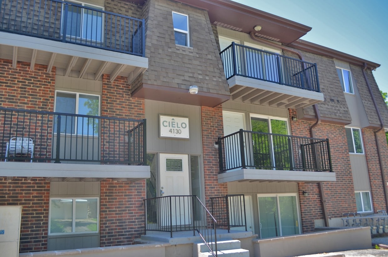
Cielo Apartments is an apartment community located in Wyandotte County and the 66103 ZIP Code. This area is served by the Kansas City attendance zone.
Air Conditioning
High Speed Internet Access
Granite Countertops
Refrigerator
Nestled along the Kansas-Missouri border, Rosedale is a charming neighborhood with a close-knit, diverse community where citizens continually strive to improve their neighborhood by helping each other. The Rosedale Development Association combined with neighborhood groups fuels Rosedale a strong sense of community. The Rosedale Farmers Market and Healthy Halloween (an annual celebration that provides free health screenings and flu shots) are just two of many special events that bring the community together.
Rosedale is anchored by the University of Kansas Medical Center, which is one of the area’s major employers. There are restaurants and shops scattered throughout Rosedale, but most businesses are located along Rainbow Boulevard where the hospital is located. Rosedale has several parks for residents to enjoy. The namesake park has a skate park and sports facilities while Mount Marty Park has trails and lush lawns.
Learn more about living in Rosedale| Colleges & Universities | Distance | ||
|---|---|---|---|
| Colleges & Universities | Distance | ||
| Drive: | 6 min | 2.1 mi | |
| Drive: | 8 min | 3.1 mi | |
| Drive: | 9 min | 3.5 mi | |
| Drive: | 19 min | 11.5 mi |


Transportation options available in Kansas City include Union Station On Main At Pershing Sb, located 3.6 miles from Cielo Apartments. Cielo Apartments is near Kansas City International, located 22.2 miles or 33 minutes away.
| Transit / Subway | Distance | ||
|---|---|---|---|
| Transit / Subway | Distance | ||
| Drive: | 9 min | 3.6 mi | |
| Drive: | 8 min | 4.5 mi | |
| Drive: | 8 min | 5.0 mi | |
| Drive: | 8 min | 5.0 mi | |
| Drive: | 9 min | 5.2 mi |
| Commuter Rail | Distance | ||
|---|---|---|---|
| Commuter Rail | Distance | ||
|
|
Drive: | 10 min | 3.7 mi |
|
|
Drive: | 25 min | 14.5 mi |
|
|
Drive: | 33 min | 18.4 mi |
|
|
Drive: | 48 min | 40.6 mi |
| Airports | Distance | ||
|---|---|---|---|
| Airports | Distance | ||
|
Kansas City International
|
Drive: | 33 min | 22.2 mi |
Time and distance from Cielo Apartments.
| Shopping Centers | Distance | ||
|---|---|---|---|
| Shopping Centers | Distance | ||
| Walk: | 11 min | 0.6 mi | |
| Walk: | 14 min | 0.7 mi | |
| Walk: | 18 min | 1.0 mi |
| Parks and Recreation | Distance | ||
|---|---|---|---|
| Parks and Recreation | Distance | ||
|
Mill Creek Park
|
Drive: | 5 min | 1.7 mi |
|
Donald J. Hall Sculpture Park
|
Drive: | 6 min | 2.4 mi |
|
Theis Park
|
Drive: | 6 min | 2.5 mi |
|
Loose Park
|
Drive: | 7 min | 2.5 mi |
|
Kauffman Memorial Garden
|
Drive: | 7 min | 2.7 mi |
| Hospitals | Distance | ||
|---|---|---|---|
| Hospitals | Distance | ||
| Walk: | 12 min | 0.7 mi | |
| Drive: | 6 min | 1.8 mi | |
| Drive: | 10 min | 5.2 mi |
| Military Bases | Distance | ||
|---|---|---|---|
| Military Bases | Distance | ||
| Drive: | 54 min | 38.8 mi |
What Are Walk Score®, Transit Score®, and Bike Score® Ratings?
Walk Score® measures the walkability of any address. Transit Score® measures access to public transit. Bike Score® measures the bikeability of any address.
What is a Sound Score Rating?
A Sound Score Rating aggregates noise caused by vehicle traffic, airplane traffic and local sources

4132 Fisher St
Kansas City, KS 66103


