
Rosebeach
16124 Rosecrans Ave,
La Mirada, CA 90638
$1,961 - $3,510
1-2 Beds
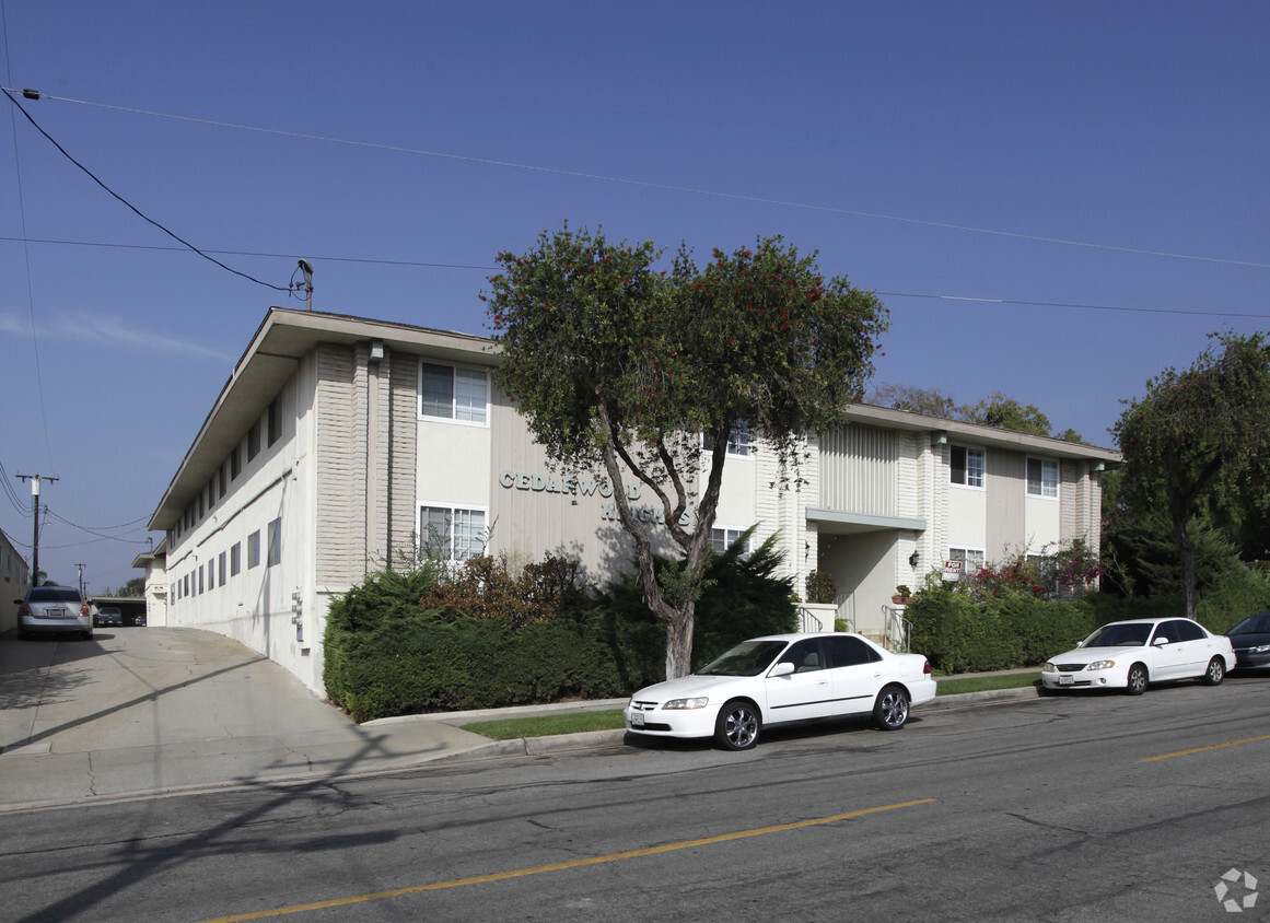
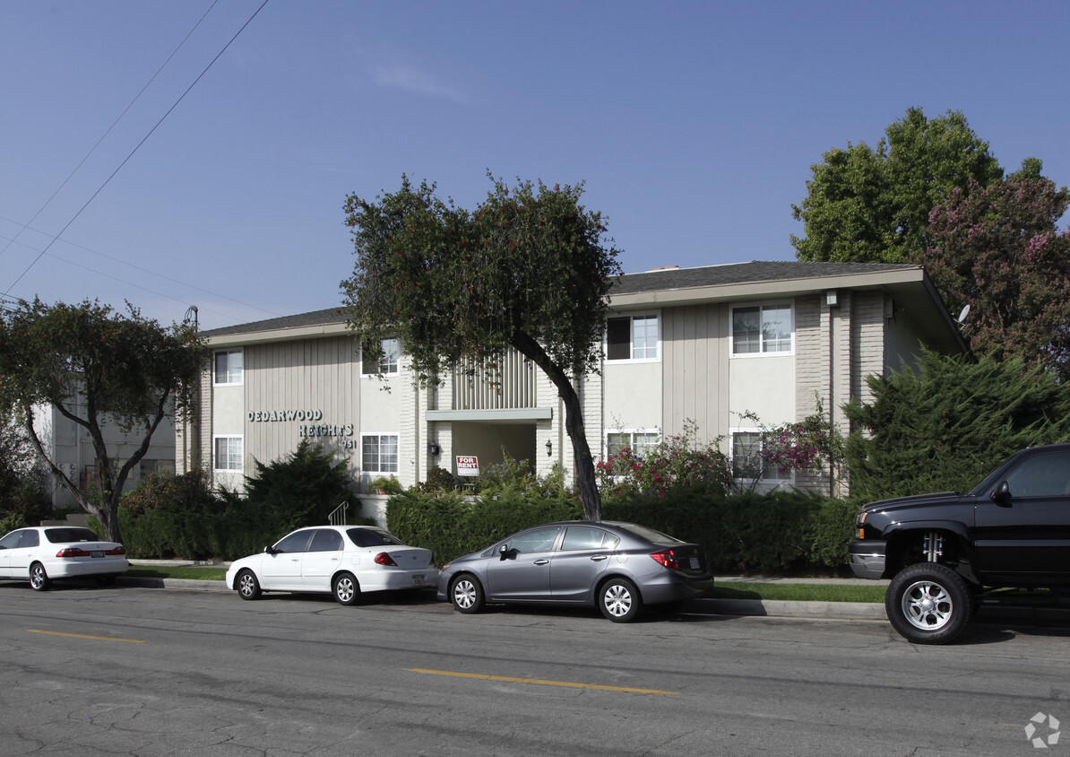
Visit Cedarwood Heights. The 951 N Euclid St location in the La Habra City neighborhood of La Habra is perfectly situated for work or play. The leasing staff is excited to help you find your perfect new place. Stop looking and get moving. Contact or stop by the Cedarwood Heights leasing office to schedule a tour.
Cedarwood Heights is an apartment community located in Orange County and the 90631 ZIP Code. This area is served by the La Habra City Elementary attendance zone.
Air Conditioning
Tub/Shower
Heating
Oven
La Habra lies in the northwest corner of Orange County, off the Santa Ana Freeway and Highway 57. La Habra is well-connected to the rest of Orange County as well as to the greater Los Angeles area.
This community-driven neighborhood focuses on a comfortable and healthy lifestyle. Located in the foothills of Orange County, La Habra is a treasure trove of undiscovered natural wonders. Get out and enjoy the area’s sunny, mild weather while exploring one of the numerous parks throughout the area. La Habra provides residents with community spirit but also nurtures a thriving business center.
Learn more about living in La Habra City| Colleges & Universities | Distance | ||
|---|---|---|---|
| Colleges & Universities | Distance | ||
| Drive: | 11 min | 5.7 mi | |
| Drive: | 13 min | 6.5 mi | |
| Drive: | 12 min | 6.6 mi | |
| Drive: | 14 min | 7.5 mi |


Transportation options available in La Habra include Norwalk, located 12.4 miles from Cedarwood Heights. Cedarwood Heights is near Long Beach (Daugherty Field), located 21.0 miles or 34 minutes away, and John Wayne/Orange County, located 22.3 miles or 32 minutes away.
| Transit / Subway | Distance | ||
|---|---|---|---|
| Transit / Subway | Distance | ||
|
|
Drive: | 20 min | 12.4 mi |
| Commuter Rail | Distance | ||
|---|---|---|---|
| Commuter Rail | Distance | ||
|
|
Drive: | 12 min | 6.4 mi |
|
|
Drive: | 11 min | 6.6 mi |
|
|
Drive: | 14 min | 8.3 mi |
|
|
Drive: | 16 min | 9.4 mi |
|
|
Drive: | 21 min | 11.8 mi |
| Airports | Distance | ||
|---|---|---|---|
| Airports | Distance | ||
|
Long Beach (Daugherty Field)
|
Drive: | 34 min | 21.0 mi |
|
John Wayne/Orange County
|
Drive: | 32 min | 22.3 mi |
Time and distance from Cedarwood Heights.
| Shopping Centers | Distance | ||
|---|---|---|---|
| Shopping Centers | Distance | ||
| Walk: | 11 min | 0.6 mi | |
| Walk: | 13 min | 0.7 mi | |
| Walk: | 17 min | 0.9 mi |
| Parks and Recreation | Distance | ||
|---|---|---|---|
| Parks and Recreation | Distance | ||
|
La Habra Historical Museum
|
Walk: | 14 min | 0.7 mi |
|
Children's Museum at La Habra
|
Walk: | 16 min | 0.9 mi |
|
Craig Regional Park
|
Drive: | 13 min | 6.0 mi |
|
Schabarum Regional Park
|
Drive: | 14 min | 7.1 mi |
|
Fullerton Arboretum
|
Drive: | 13 min | 7.4 mi |
| Hospitals | Distance | ||
|---|---|---|---|
| Hospitals | Distance | ||
| Drive: | 7 min | 3.9 mi | |
| Drive: | 7 min | 4.1 mi | |
| Drive: | 13 min | 6.5 mi |
| Military Bases | Distance | ||
|---|---|---|---|
| Military Bases | Distance | ||
| Drive: | 25 min | 14.8 mi |
What Are Walk Score®, Transit Score®, and Bike Score® Ratings?
Walk Score® measures the walkability of any address. Transit Score® measures access to public transit. Bike Score® measures the bikeability of any address.
What is a Sound Score Rating?
A Sound Score Rating aggregates noise caused by vehicle traffic, airplane traffic and local sources


