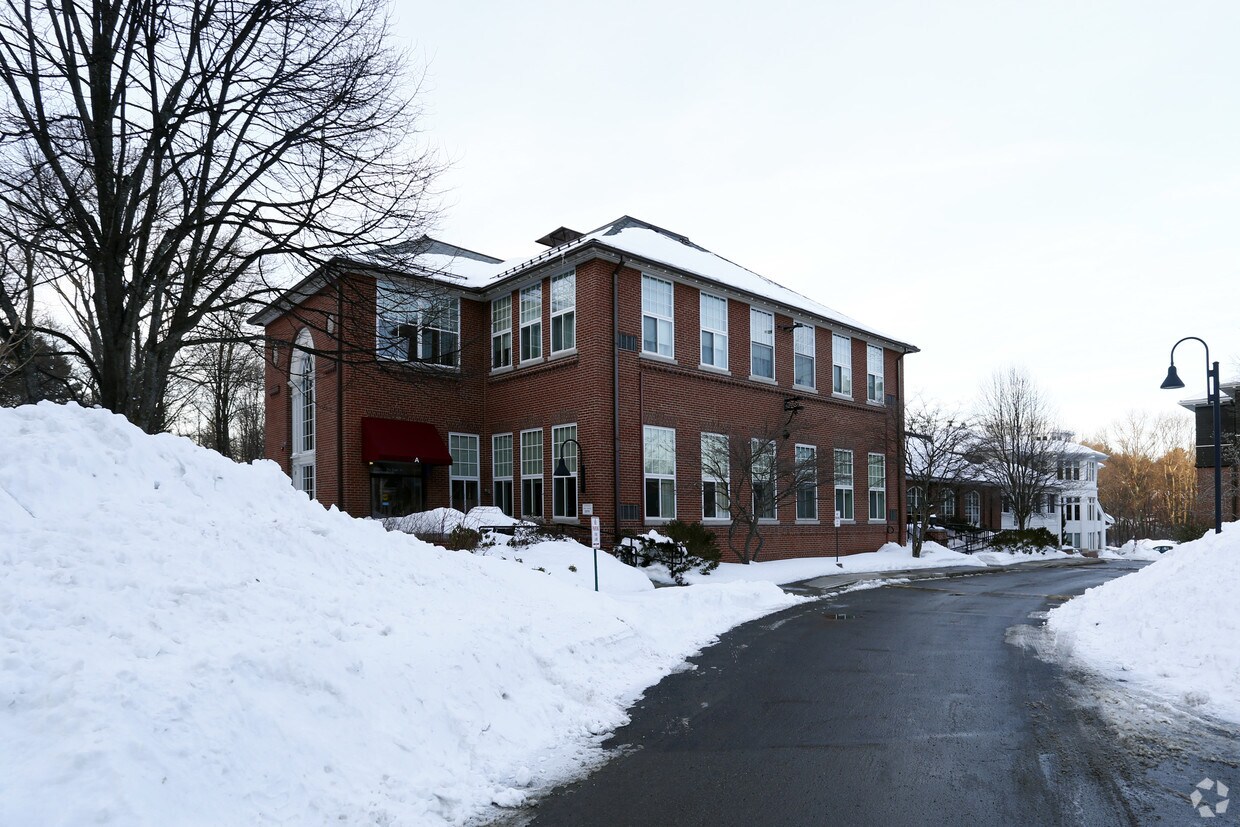
The Point at Waltham
341 2nd Ave,
Waltham, MA 02451
Studio - 3 Beds $2,624 - $5,321


Brook School Apartments is ready for you to visit. In the 02493 Zip code of Weston on School St., local residents have access to a variety of points of interest in the surrounding area. Make a visit to see the available floorplan options. The knowledgeable leasing staff is waiting to show you all that this community has to offer. Stop by Brook School Apartments today.
Brook School Apartments is an apartment community located in Middlesex County and the 02493 ZIP Code. This area is served by the Weston attendance zone.
Just west of Boston and East of Worcester sits Metro West, a region that houses a group of towns and cities with significant historical backgrounds. A total of 19 municipalities make up the core of this community, but other municipalities are considered to be a part of the Interstate 495/Metro West Corridor.
Learn more about living in Metro West| Colleges & Universities | Distance | ||
|---|---|---|---|
| Colleges & Universities | Distance | ||
| Drive: | 10 min | 4.0 mi | |
| Drive: | 11 min | 5.1 mi | |
| Drive: | 15 min | 6.8 mi | |
| Drive: | 16 min | 7.7 mi |
 The GreatSchools Rating helps parents compare schools within a state based on a variety of school quality indicators and provides a helpful picture of how effectively each school serves all of its students. Ratings are on a scale of 1 (below average) to 10 (above average) and can include test scores, college readiness, academic progress, advanced courses, equity, discipline and attendance data. We also advise parents to visit schools, consider other information on school performance and programs, and consider family needs as part of the school selection process.
Transportation options available in Weston include Riverside Station, located 5.2 miles from Brook School Apartments. Brook School Apartments is near General Edward Lawrence Logan International, located 17.8 miles or 30 minutes away, and Worcester Regional, located 36.2 miles or 58 minutes away.
| Transit / Subway | Distance | ||
|---|---|---|---|
| Transit / Subway | Distance | ||
|
|
Drive: | 10 min | 5.2 mi |
|
|
Drive: | 10 min | 5.6 mi |
|
|
Drive: | 11 min | 6.3 mi |
|
|
Drive: | 14 min | 7.8 mi |
|
|
Drive: | 14 min | 8.0 mi |
| Commuter Rail | Distance | ||
|---|---|---|---|
| Commuter Rail | Distance | ||
|
|
Drive: | 4 min | 1.5 mi |
| Drive: | 8 min | 2.7 mi | |
| Drive: | 8 min | 3.7 mi | |
|
|
Drive: | 8 min | 3.9 mi |
|
|
Drive: | 18 min | 10.3 mi |
| Airports | Distance | ||
|---|---|---|---|
| Airports | Distance | ||
|
General Edward Lawrence Logan International
|
Drive: | 30 min | 17.8 mi |
|
Worcester Regional
|
Drive: | 58 min | 36.2 mi |
Time and distance from Brook School Apartments.
| Shopping Centers | Distance | ||
|---|---|---|---|
| Shopping Centers | Distance | ||
| Drive: | 6 min | 2.8 mi | |
| Drive: | 7 min | 2.9 mi | |
| Drive: | 8 min | 3.5 mi |
| Parks and Recreation | Distance | ||
|---|---|---|---|
| Parks and Recreation | Distance | ||
|
Land's Sake Farm
|
Walk: | 9 min | 0.5 mi |
|
Hamlen Woods
|
Drive: | 9 min | 4.3 mi |
|
Greenways Conservation Area
|
Drive: | 8 min | 4.3 mi |
|
Hazel Brook Conservation Area
|
Drive: | 10 min | 4.4 mi |
|
Upper Mill Brook Conservation Area
|
Drive: | 8 min | 4.8 mi |
| Hospitals | Distance | ||
|---|---|---|---|
| Hospitals | Distance | ||
| Drive: | 7 min | 3.3 mi | |
| Drive: | 9 min | 5.3 mi | |
| Drive: | 12 min | 6.2 mi |
| Military Bases | Distance | ||
|---|---|---|---|
| Military Bases | Distance | ||
| Drive: | 15 min | 8.3 mi | |
| Drive: | 18 min | 8.9 mi |
What Are Walk Score®, Transit Score®, and Bike Score® Ratings?
Walk Score® measures the walkability of any address. Transit Score® measures access to public transit. Bike Score® measures the bikeability of any address.
What is a Sound Score Rating?
A Sound Score Rating aggregates noise caused by vehicle traffic, airplane traffic and local sources