
Vanguard
1001 Marshall Ave,
Cincinnati, OH 45219
Studio - 5 Beds $683 - $1,479
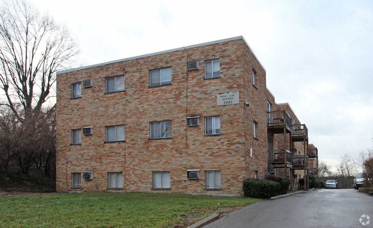
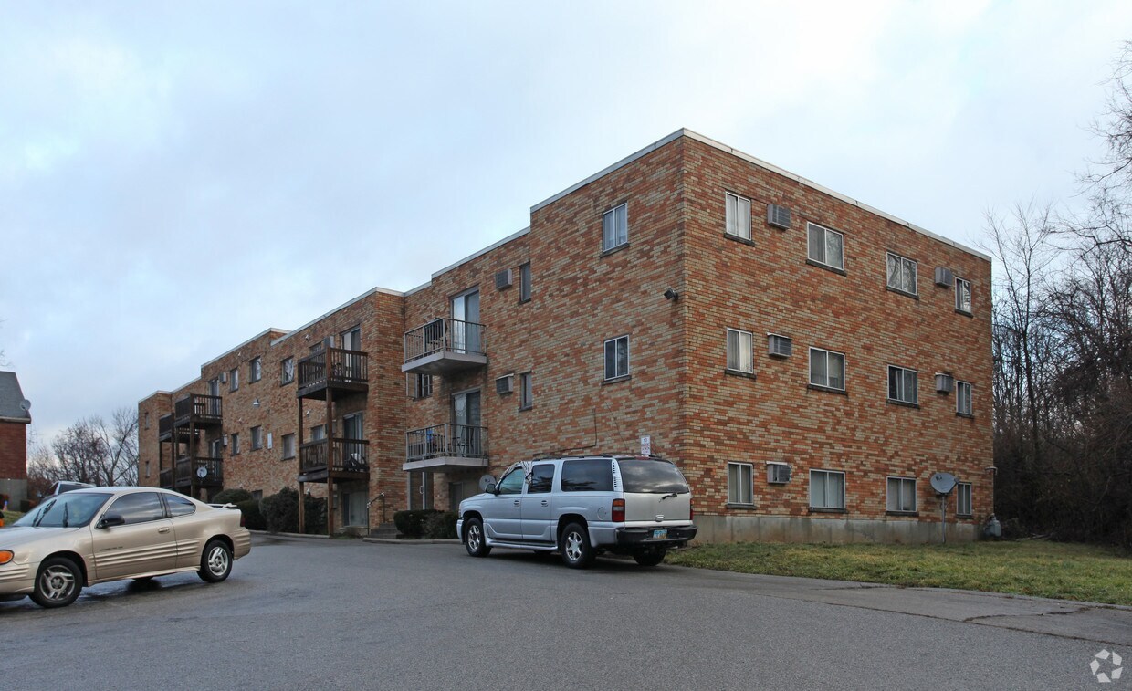

Find true Cincinnati living at Breezy Acres. The location in Cincinnati's 45225 area is an ideal place to live. The community staff is ready for you to visit. Schedule a time to check out the current floorplan options. Drop by Breezy Acres today.
Breezy Acres is an apartment community located in Hamilton County and the 45225 ZIP Code. This area is served by the Cincinnati Public Schools attendance zone.
East Westwood is a small but popular neighborhood roughly six miles northwest of Downtown Cincinnati. It is close to everything you love about the city – the Cincinnati Zoo and Botanical Garden, the University of Cincinnati, and the Duke Energy Convention Center – while still providing a somewhat quieter place to call home. East Westwood is directly south of Interstate 74, making this area popular with commuters. The vast Mt. Airy Forest borders East Westwood on its north end, providing a fantastic back yard filled with hiking trails, a disc golf course, a dog park, the Maple Ridge Lodge, and the Unnewehr House. Single-family homes make up the bulk of the rental scene here, but there’s charm to be found in every listing in East Westwood.
Learn more about living in East Westwood| Colleges & Universities | Distance | ||
|---|---|---|---|
| Colleges & Universities | Distance | ||
| Drive: | 11 min | 3.9 mi | |
| Drive: | 9 min | 4.1 mi | |
| Drive: | 11 min | 4.6 mi | |
| Drive: | 17 min | 7.6 mi |


Transportation options available in Cincinnati include Brewery District Station, Elm & Henry, located 4.9 miles from Breezy Acres. Breezy Acres is near Cincinnati/Northern Kentucky International, located 18.9 miles or 35 minutes away.
| Transit / Subway | Distance | ||
|---|---|---|---|
| Transit / Subway | Distance | ||
| Drive: | 11 min | 4.9 mi | |
| Drive: | 11 min | 5.0 mi | |
| Drive: | 11 min | 5.1 mi | |
| Drive: | 12 min | 5.1 mi | |
| Drive: | 12 min | 5.2 mi |
| Commuter Rail | Distance | ||
|---|---|---|---|
| Commuter Rail | Distance | ||
|
|
Drive: | 10 min | 4.8 mi |
| Airports | Distance | ||
|---|---|---|---|
| Airports | Distance | ||
|
Cincinnati/Northern Kentucky International
|
Drive: | 35 min | 18.9 mi |
Time and distance from Breezy Acres.
| Shopping Centers | Distance | ||
|---|---|---|---|
| Shopping Centers | Distance | ||
| Drive: | 6 min | 2.5 mi | |
| Drive: | 9 min | 2.8 mi | |
| Drive: | 8 min | 3.1 mi |
| Parks and Recreation | Distance | ||
|---|---|---|---|
| Parks and Recreation | Distance | ||
|
Mt. Airy Forest
|
Drive: | 7 min | 2.4 mi |
|
Buttercup Valley
|
Drive: | 9 min | 3.2 mi |
|
Burnet Woods
|
Drive: | 9 min | 3.9 mi |
|
Trailside Nature Center
|
Drive: | 10 min | 4.1 mi |
|
LaBoiteaux Woods
|
Drive: | 12 min | 4.4 mi |
| Hospitals | Distance | ||
|---|---|---|---|
| Hospitals | Distance | ||
| Drive: | 8 min | 3.4 mi | |
| Drive: | 10 min | 4.3 mi | |
| Drive: | 11 min | 4.6 mi |
| Military Bases | Distance | ||
|---|---|---|---|
| Military Bases | Distance | ||
| Drive: | 72 min | 54.0 mi | |
| Drive: | 78 min | 59.1 mi | |
| Drive: | 80 min | 62.4 mi |
What Are Walk Score®, Transit Score®, and Bike Score® Ratings?
Walk Score® measures the walkability of any address. Transit Score® measures access to public transit. Bike Score® measures the bikeability of any address.
What is a Sound Score Rating?
A Sound Score Rating aggregates noise caused by vehicle traffic, airplane traffic and local sources
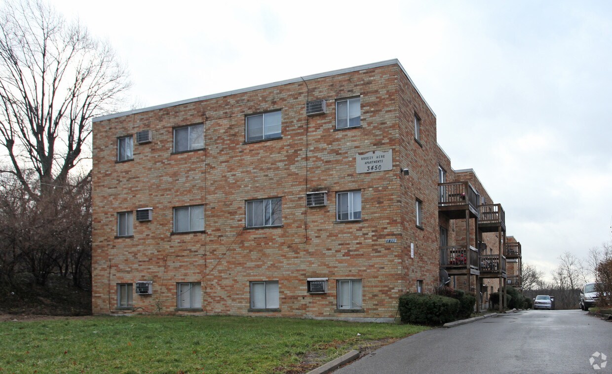
3450 Mchenry Ave
Cincinnati, OH 45225


