
10 WestEdge
10 Westedge St,
Charleston, SC 29403
$2,178 - $7,220
Studio - 2 Beds
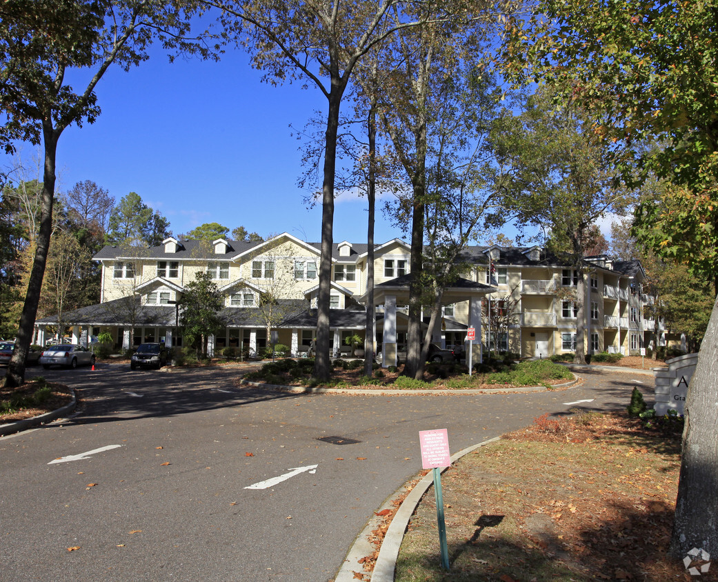

Enjoy Charleston living at Ashley Park. Located at 1451 Tobias Gadson Blvd in Charleston, this community is a terrific place to live. From pricing to features, the professional leasing team is available to help you find your new place. It's time to love where you live. Stop by for a visit today.
Ashley Park is an apartment community located in Charleston County and the 29407 ZIP Code. This area is served by the Charleston 01 attendance zone.
West Ashley sits within the city of Charleston and is west of the Ashley River, hence its name, and is the birthplace of Hootie & the Blowfish’s frontman, Darius Rucker. Lined with mossy oaks, the Ashley and Stono Rivers border West Ashley, creating the breathtaking scenery for which Charleston is known. West Ashley residents enjoy close proximity to the area's only indoor mall, the Citadel Mall, and a large number of big-box stores.
Situated seven miles due west of Downtown Charleston, residents can plan on a 15- to 30-minute drive, depending on traffic, to take in all downtown has to offer. Nearby Interstate 526, which feeds directly into Charleston’s Interstate Highway 26, gives residents a fast and easy route in and out of area. Mid- to late-1900s ranch-style homes characterize the housing in outer West Ashley, but neighborhoods built in the 2000s also sprinkle the area.
Learn more about living in West Ashley| Colleges & Universities | Distance | ||
|---|---|---|---|
| Colleges & Universities | Distance | ||
| Drive: | 7 min | 3.7 mi | |
| Drive: | 11 min | 5.6 mi | |
| Drive: | 15 min | 6.9 mi | |
| Drive: | 14 min | 6.9 mi |


What Are Walk Score®, Transit Score®, and Bike Score® Ratings?
Walk Score® measures the walkability of any address. Transit Score® measures access to public transit. Bike Score® measures the bikeability of any address.
What is a Sound Score Rating?
A Sound Score Rating aggregates noise caused by vehicle traffic, airplane traffic and local sources

1451 Tobias Gadson Blvd
Charleston, SC 29407


